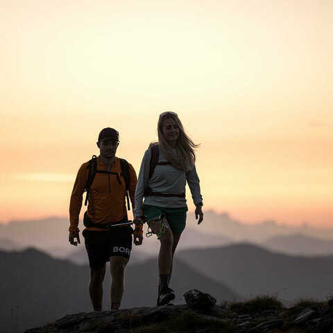
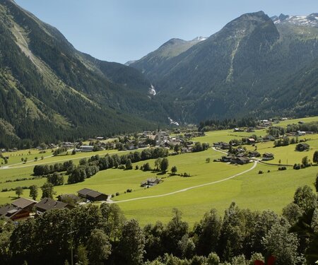
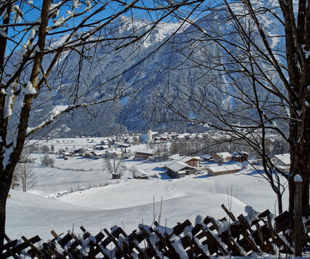
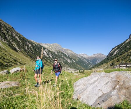
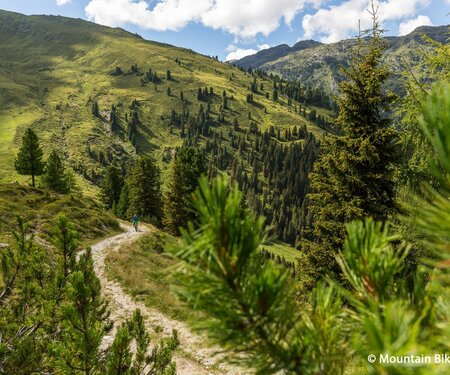
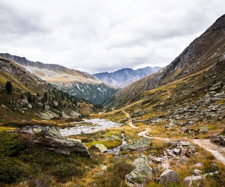
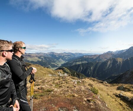
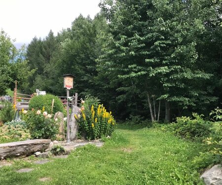
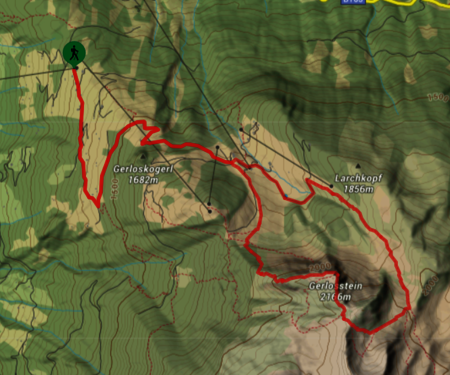
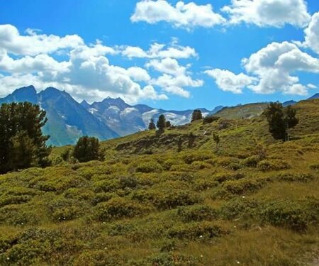
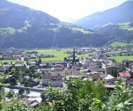
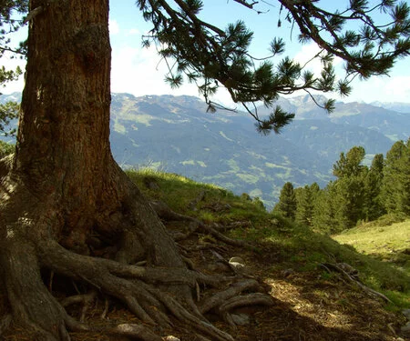
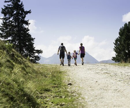
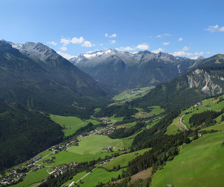
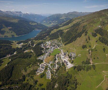
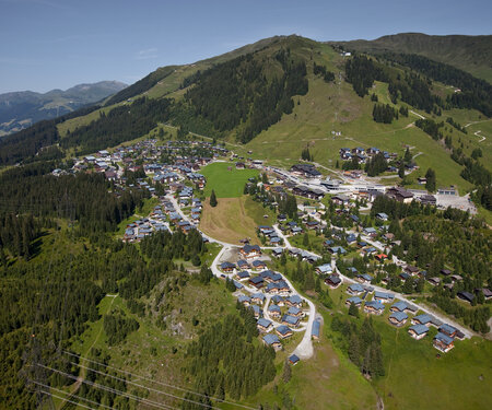
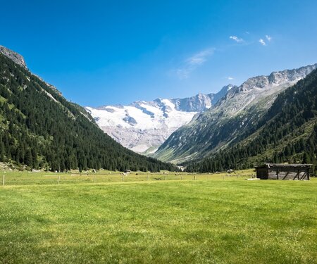
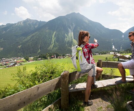
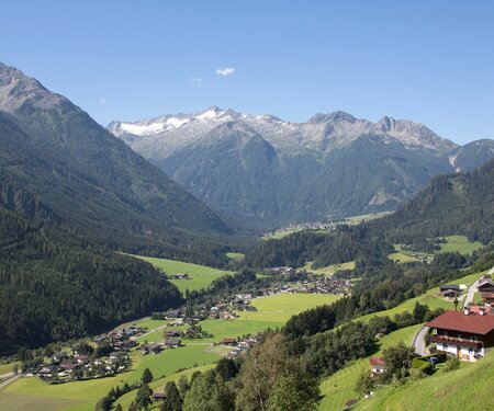
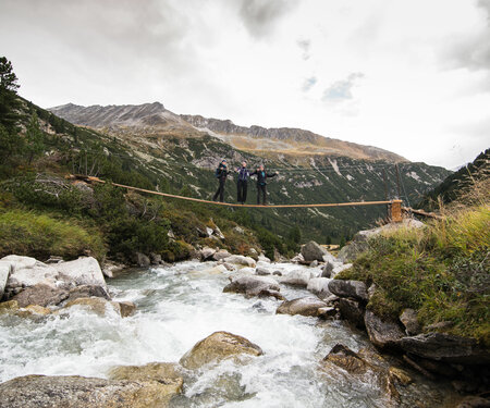
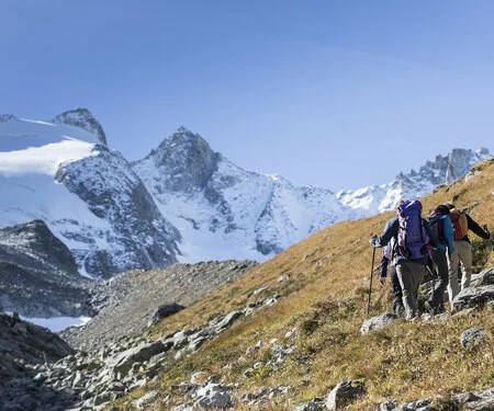
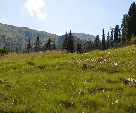
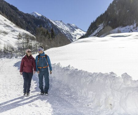
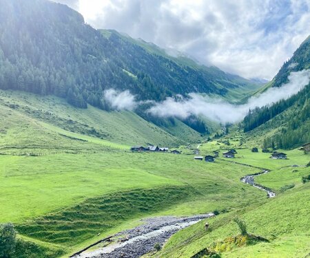
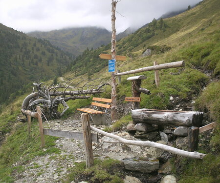
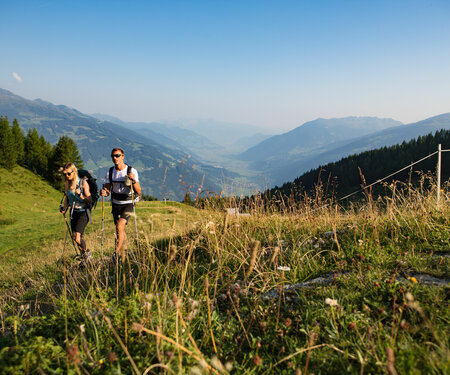
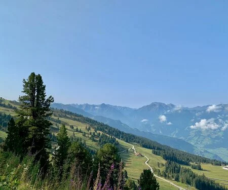
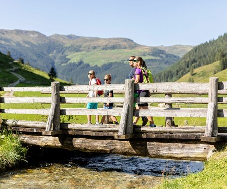
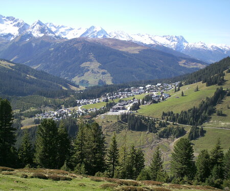
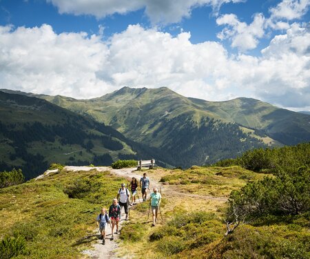
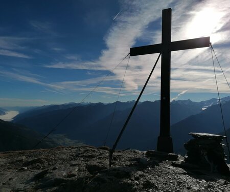
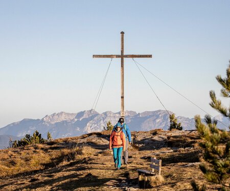
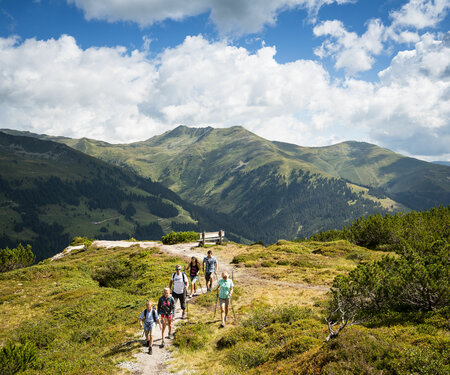
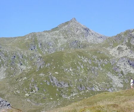
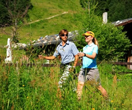
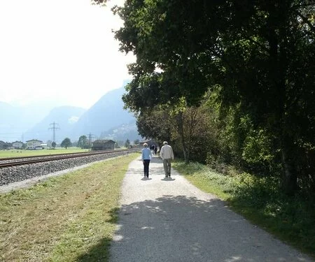
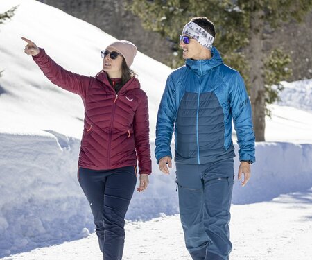
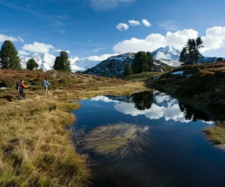
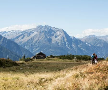
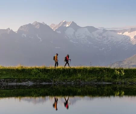
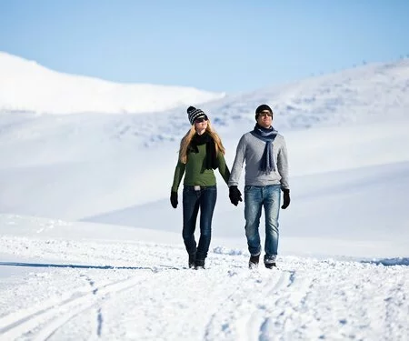
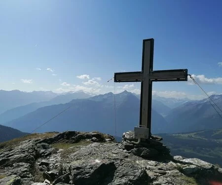
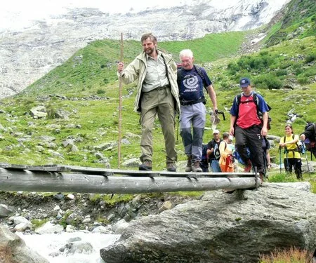
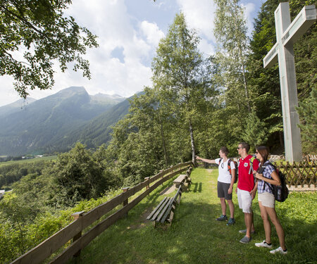
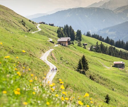
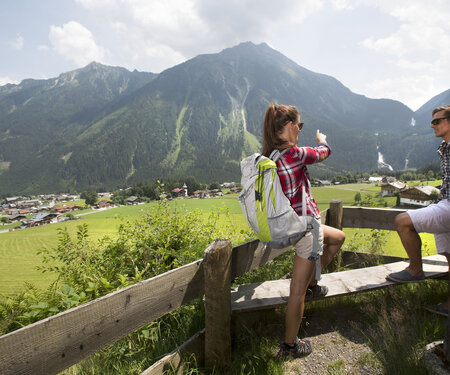
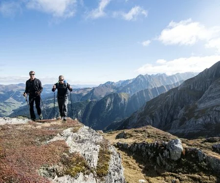
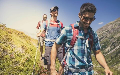
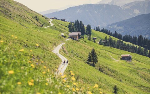
Hiking trails & routes in the Zillertal ARENA
400
Kilometres of
hiking trails
await you
hiking trails
await you
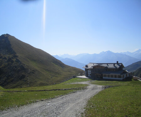
4
Summer
cable cars
cable cars
9
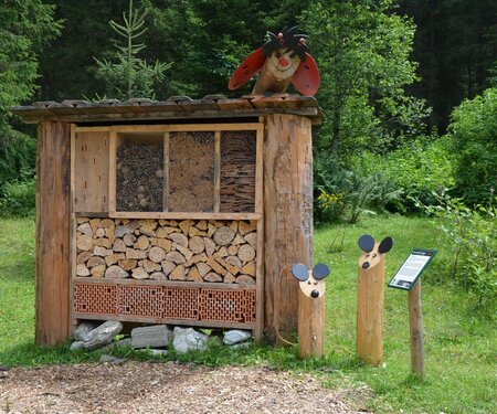
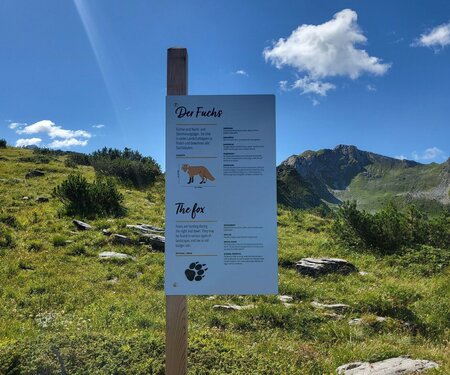
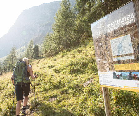
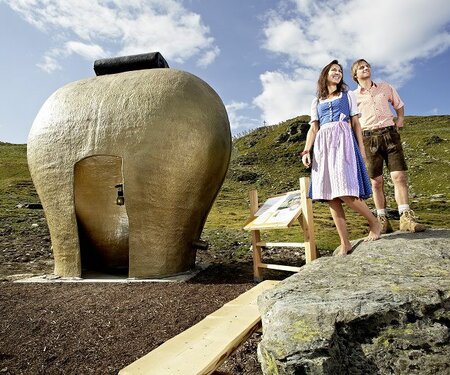
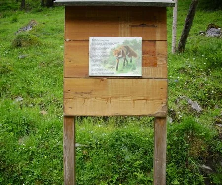
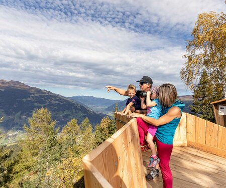
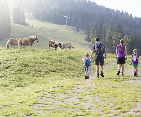
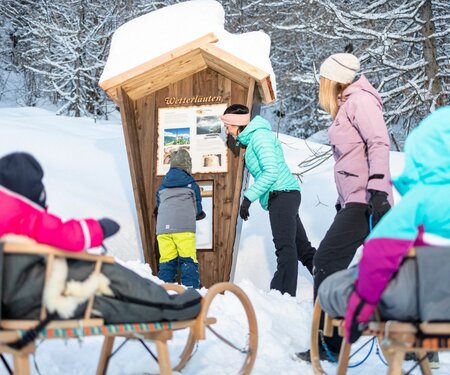
Varied themed hiking trails
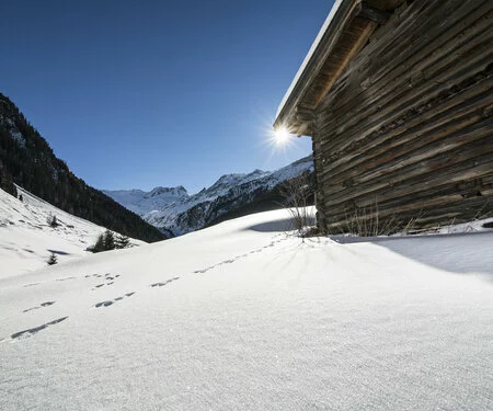
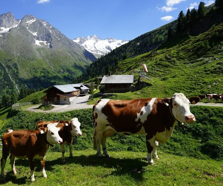
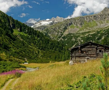
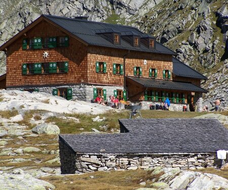
40
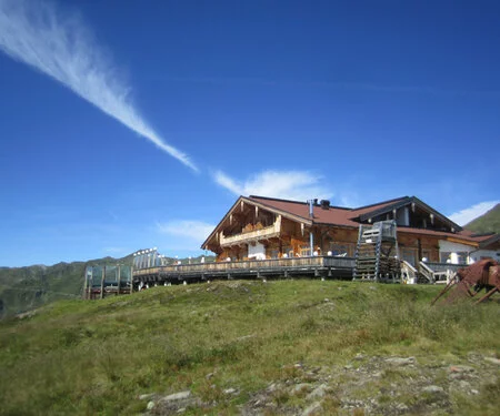
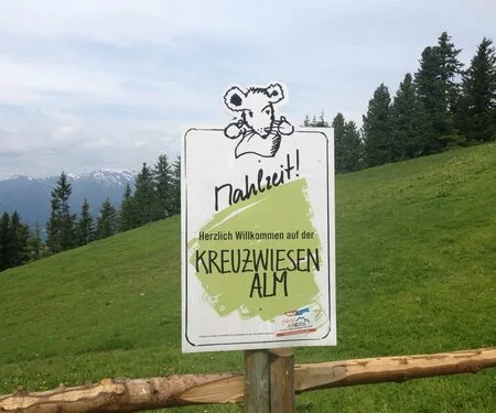
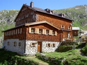
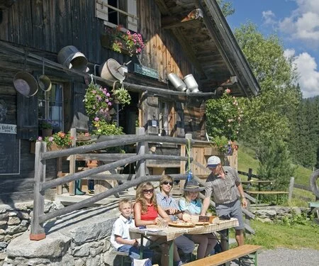
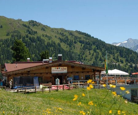
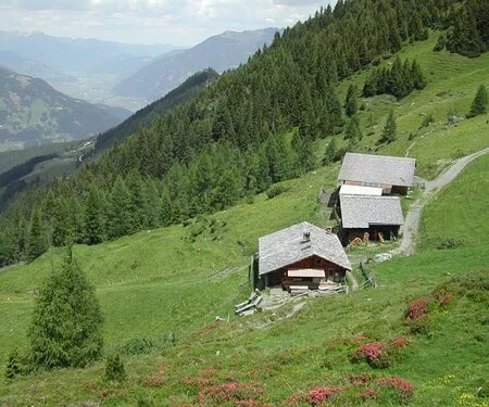
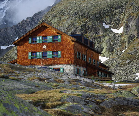
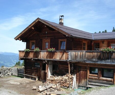
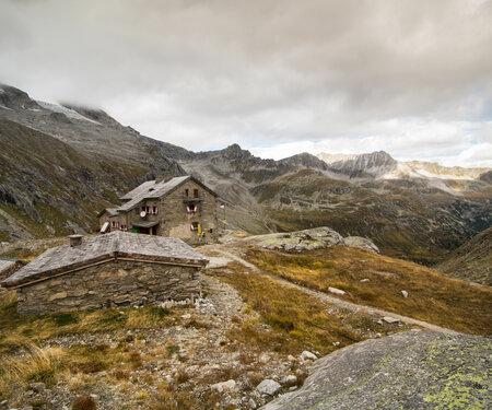
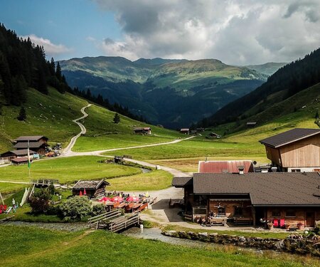
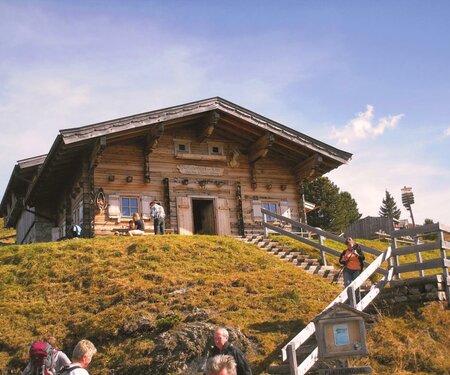
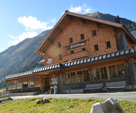
Refreshments in huts and mountain inns
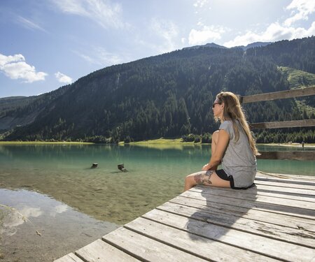
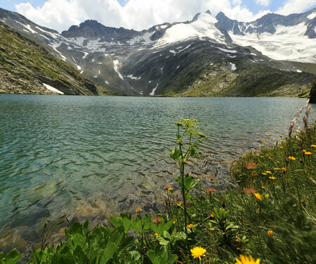
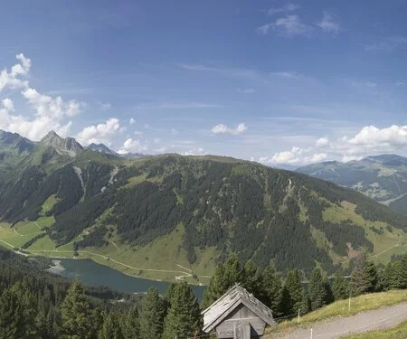
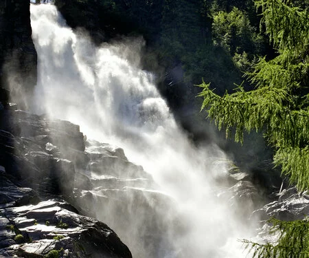
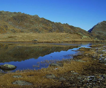
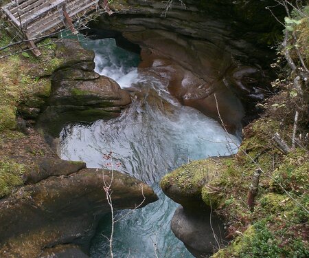
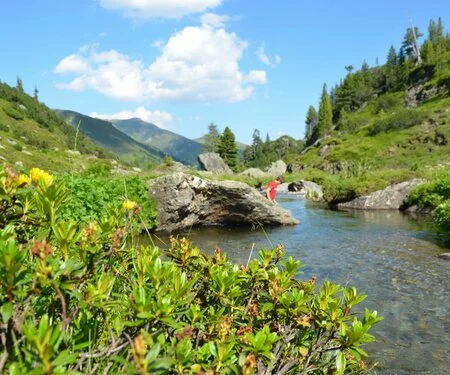
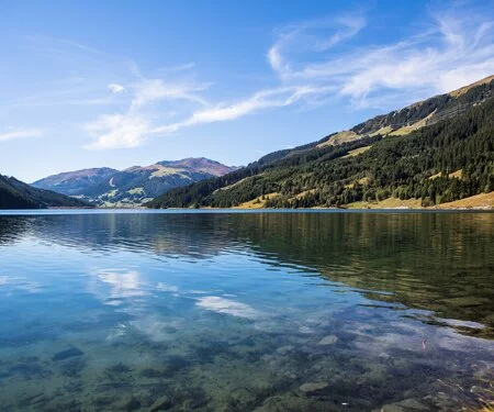
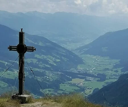
3
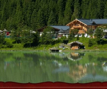
Mountain lakes
to cool down
to cool down
Select Filter
Filter


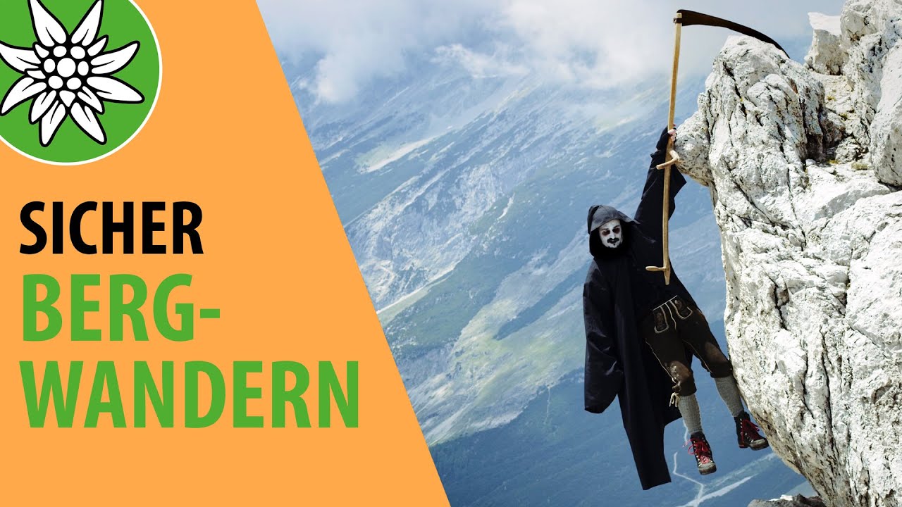
The Austrian Alpine Club presents useful tutorials and tips for mountain hiking in the “Safe Mountain Hiking” video series with Berti & Gerti
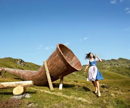
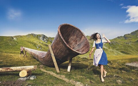
Funty hiking pass
You can find a life-size me everywhere in the Zell, Gerlos, Wald-Königsleiten and Krimml-Hochkrimml region. As a surprise, I’ve come up with something very special for you. Once you have collected 5 of the 11 stamps inside the booklet, you can take me – FUNty home with you as a souvenir from the tourist offices in Zell or Gerlos.