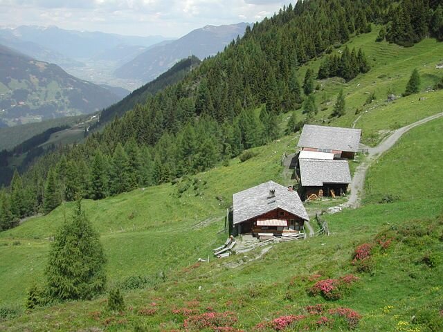
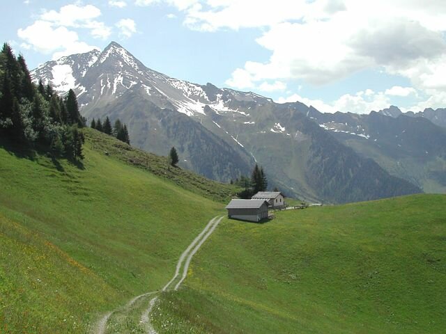
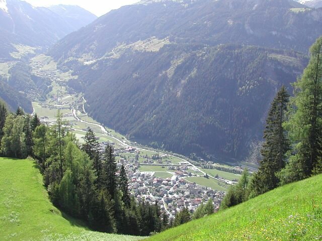
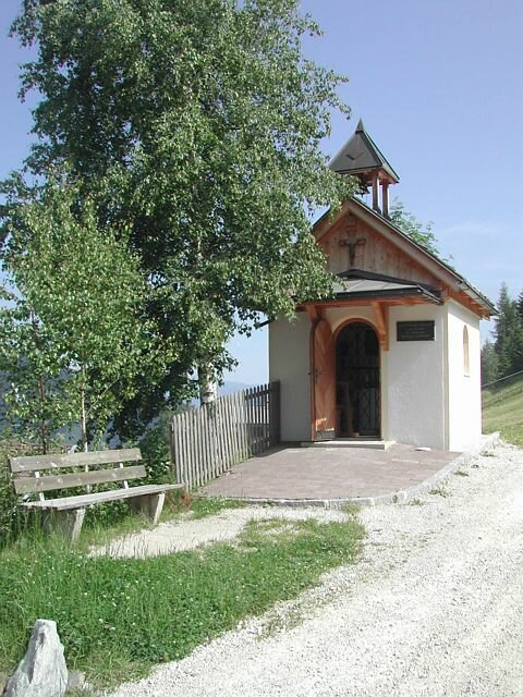
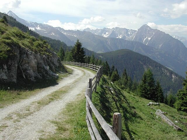
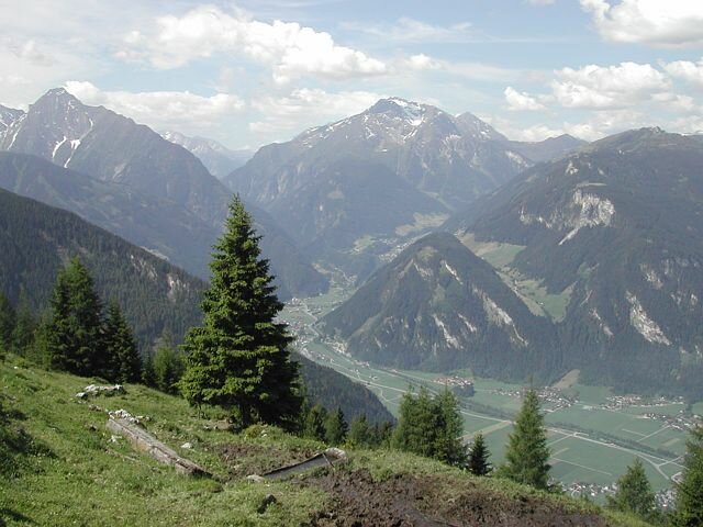
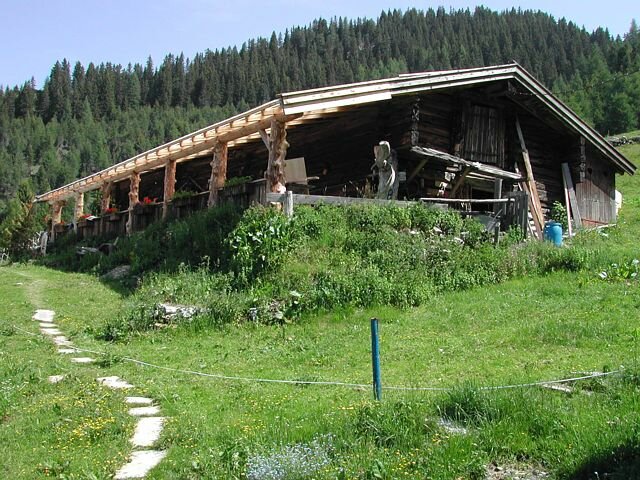
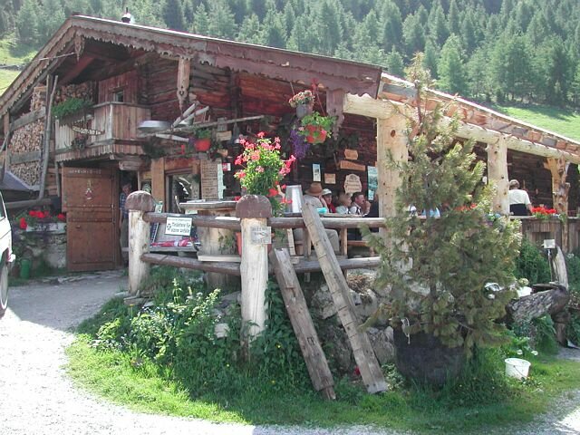
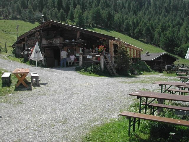
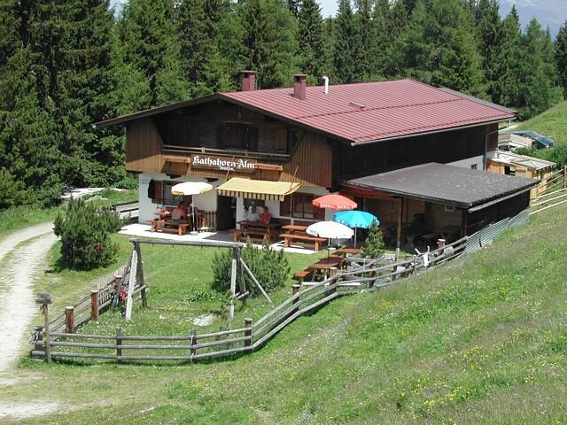
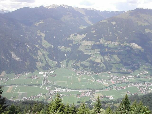
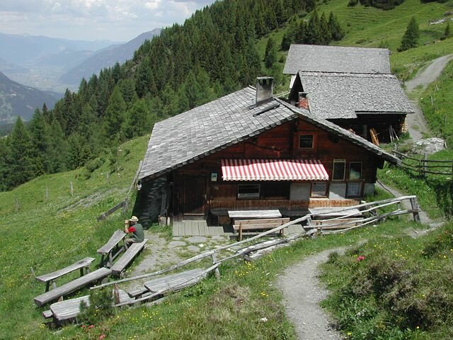
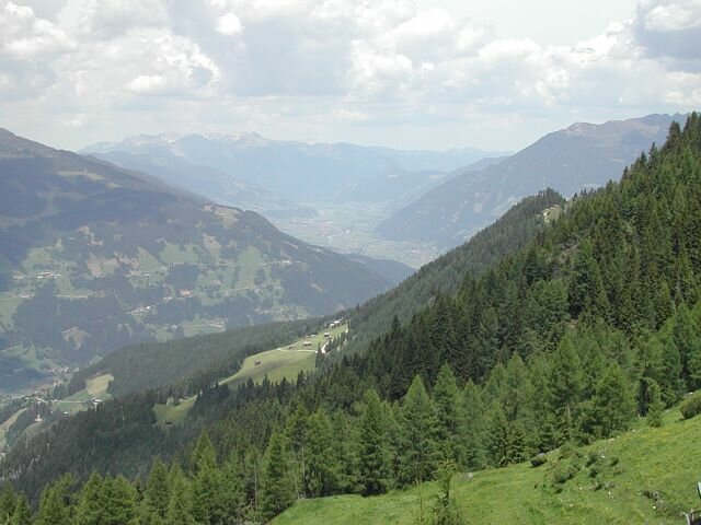
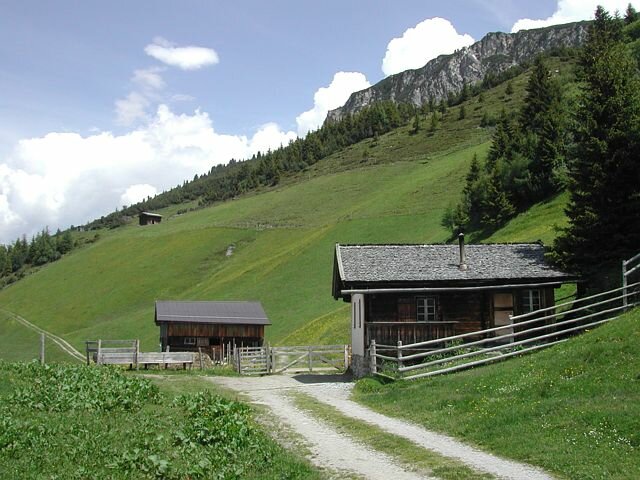
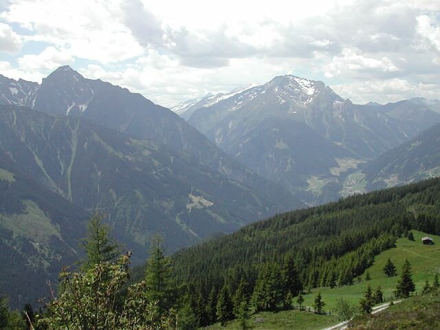
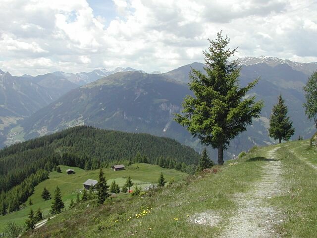
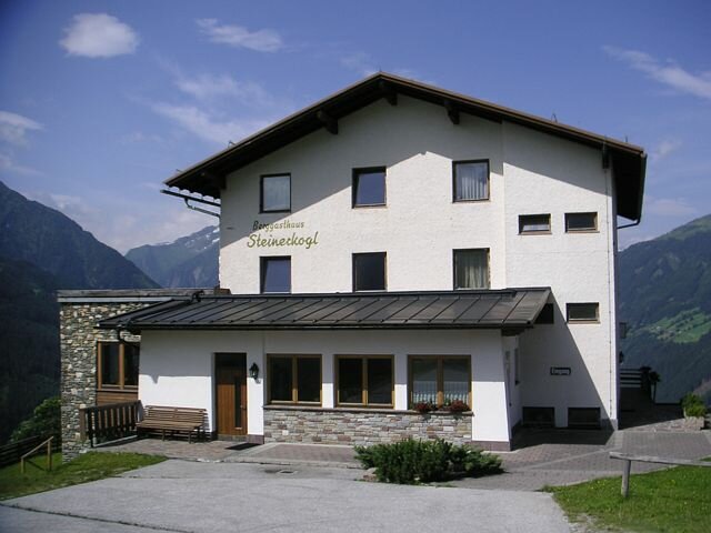
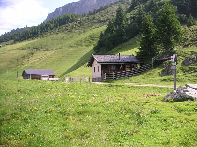
Ascent by the Gerlossteinbahn cable car. From the Berghotel Gerlosstein two trails lead to the south (direction into the valley). The upper road takes you to the Neue Kotahorn Alm and afterwards to the Alte Kotahorn Alm. This trail leads to the Karlalm and then to the Labergalm pasture. At the Labergalm follow the ridge downhill. The trail leads past huts and through a forest, where the trail often crosses a road. After leaving the forest you can already see the Berggasthof Steinerkogel. Below the mountain inn there is a crossroad. If you follow the left trail you reach the village of Brandberg in about 1/2 hour - bus stop. Going right at the crossroad, you reach Mayrhofen in about 1 hour.
Gerlosstein - Laberg - Steinerkogel - Brandberg


Description
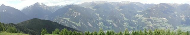
An easy walking tour of 3 hours passing through beautiful mountain pastures of Gerlosstein and Brandberg. Ascent by the Gerlossteinbahn cable car in Hainzenberg to the starting point. Also suitable for children with good condition. Hiking shoes recommended.