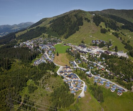
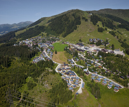
Wald-Königsleiten hiking area
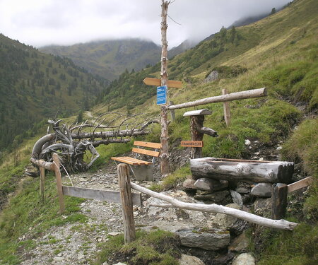
hiking trails
trail
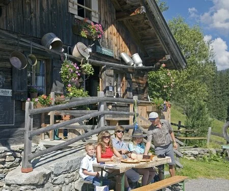
mountain inns
Summer holidays
for mountain enthusiasts
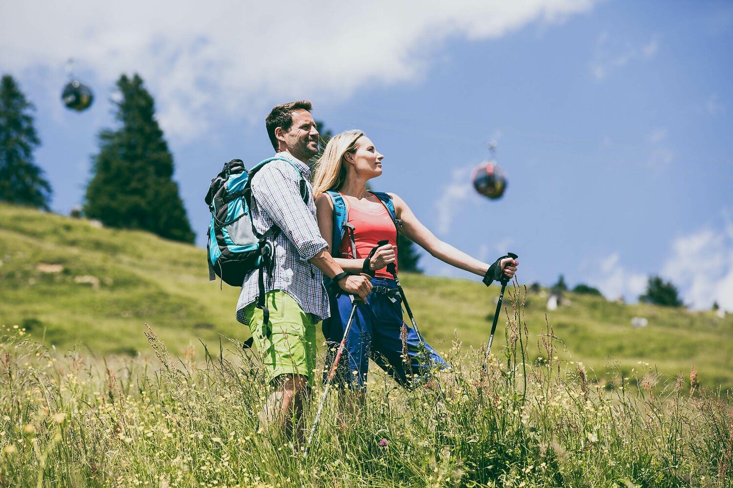
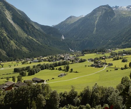
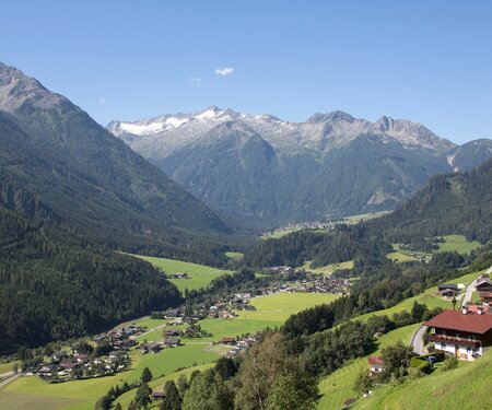
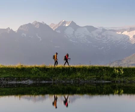
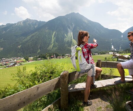
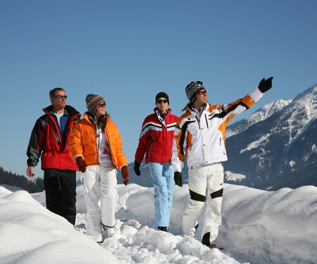
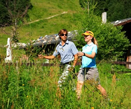
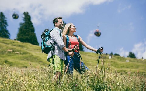
What could be better than exploring the unique and magnificent mountains of Zillertal and Pinzgau on foot? Pack a hearty snack in your rucksack and put on your hiking boots: there are 400 km of hiking trails to explore. Discover the most beautiful and fascinating walking region in Oberpinzgau here in Wald - Königsleiten. Head out through Hohe Tauern National Park, hike across alpine pastures in the Pinzgauer Grasberge mountains, or take an adventurous mountain hike up in the Reichenspitzgruppe range.

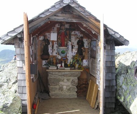

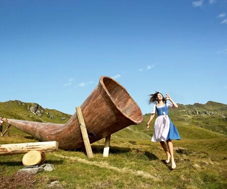


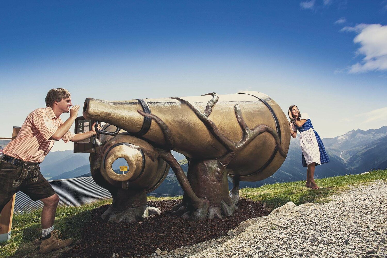
Jodelwanderweg Königsleiten
Simple, traditional yodels are waiting for you to sing along to at the various interactive stations. An audio station plays first the whole yodel and then the 1st and the 2nd voices on their own. Each of you should try your part alone first before practising the yodel together.
Everyone can experience the Jodelwanderweg – the trail begins at Dorfbahn Königsleiten top station. The first stop is right beside the Gipfeltreffen restaurant. Of course, you can also walk the Jodelwanderweg in the opposite direction. The Jodelwanderweg trail is open in summer and access is free of charge. Access to the trail depends on the operating hours of the cable car (tel. 06564 8212). The path is suitable for prams.
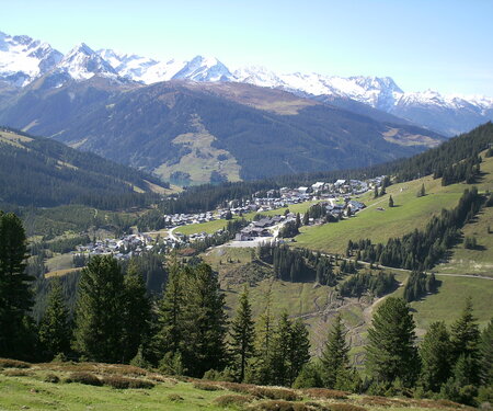
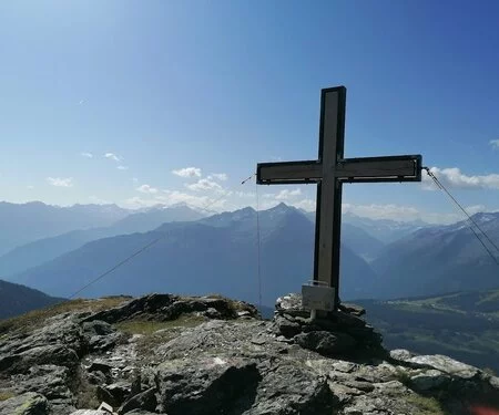
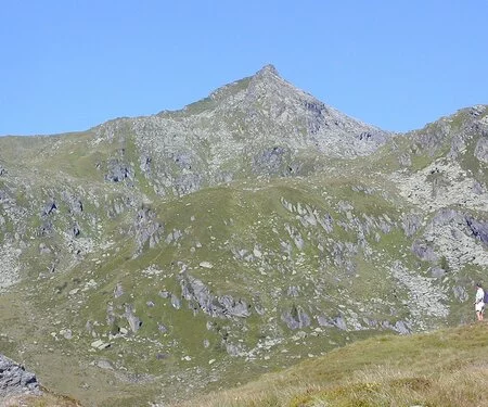
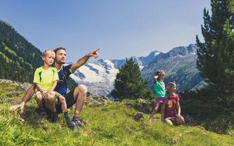
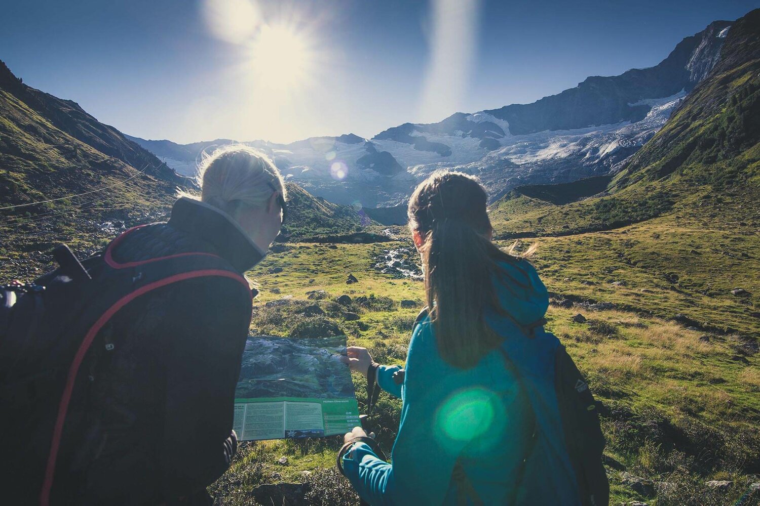
Hohe Tauern National Park
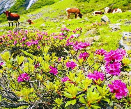
266 peaks over three thousand metres and 342 glaciers: nature is at the heart of life in the 20 towns and villages and 13 valleys in the Hohe Tauern National Park region. Discover the wonders and hidden treasures of the largest nature reserve in Central Europe on wonderful hikes and genuine adventures.
The mighty 3,798-metre Großglockner – the highest mountain in Austria – rises protectively over Hohe Tauern National Park. Feel the cold wind from Schmiedingerkee glacier on Salzburg’s highest viewing platform; experience the amazing Krimml Waterfalls, the largest in Europe, plunging hundreds of metres into the depths; visit the National Park Worlds exhibition and immerse yourself in ten different “worlds” at once.
Hiking stamp book
Destinations are scored by level of difficulty, with walks to them earning the corresponding number of points. Children aged 14 or under get extra points. All our destinations are intended to be accessed on foot. As “proof” of the hikes you have completed, stamp the hut or summit stamp on the pages provided in this hiking book. The hiking maps available from the tourist office show the relevant routes.
Pick up your hiking book from the tourist office!
Wald-Königsleiten hiking bus
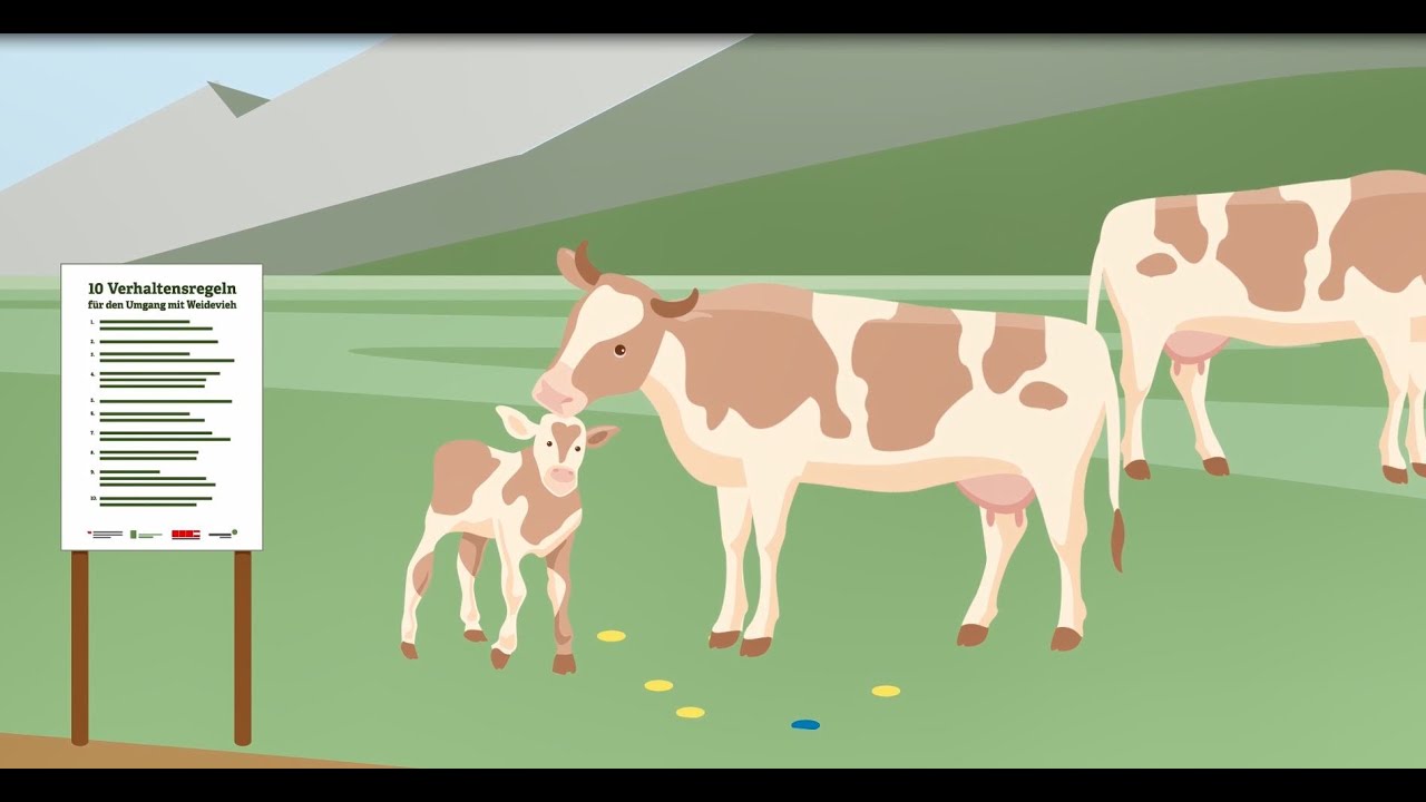
A mountain farm is not a petting zoo