Rooms / Persons
1Room, 2Adults, 0Children

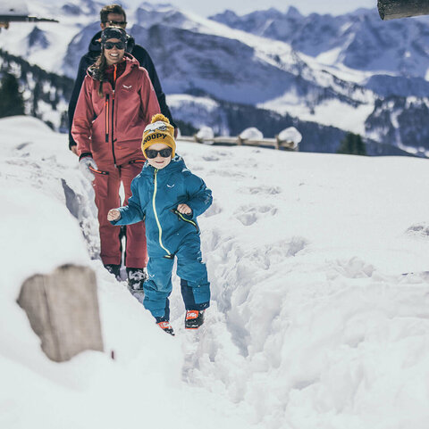
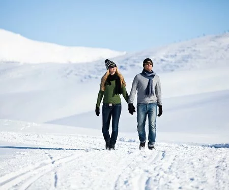
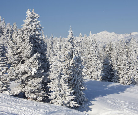
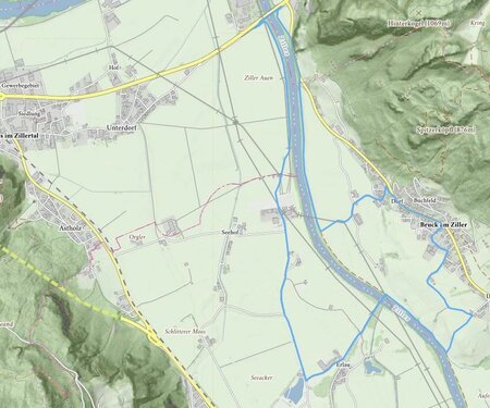
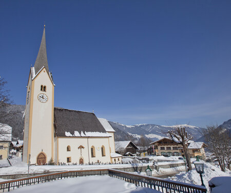
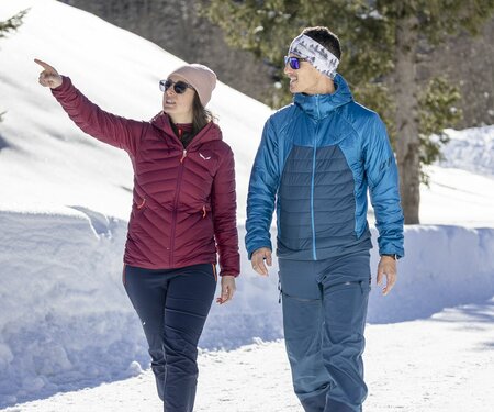
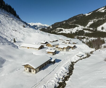
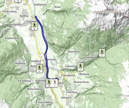
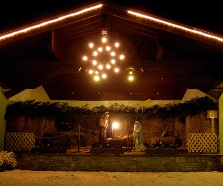
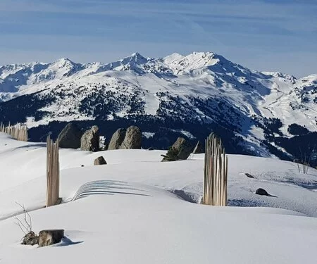
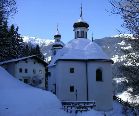
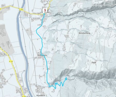
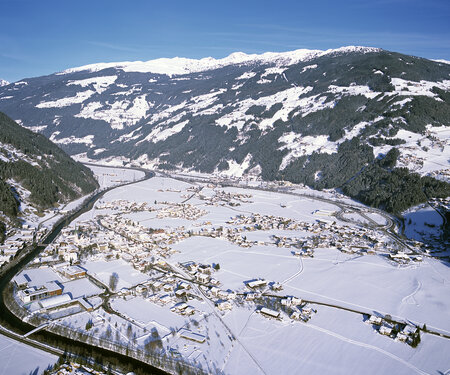
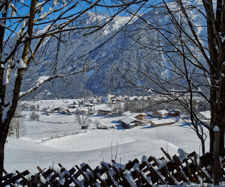
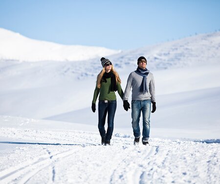
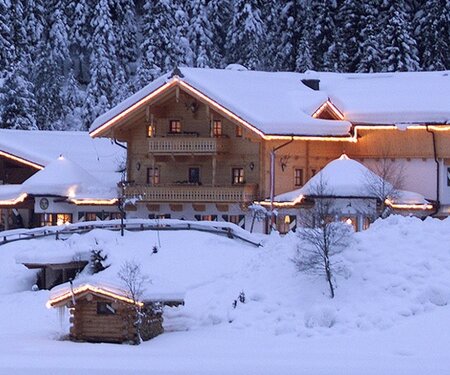
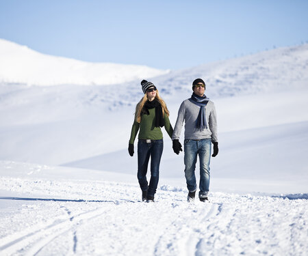
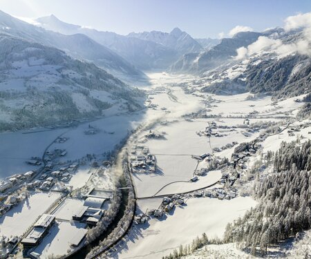
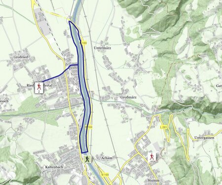
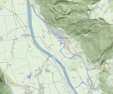
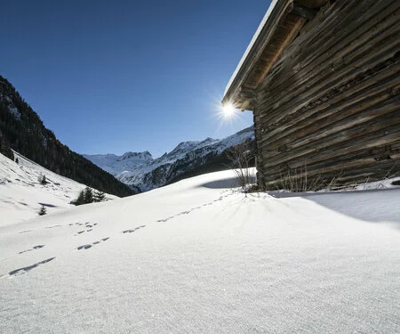
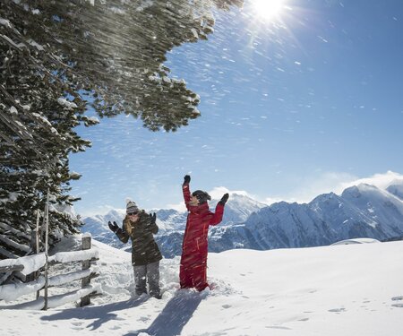
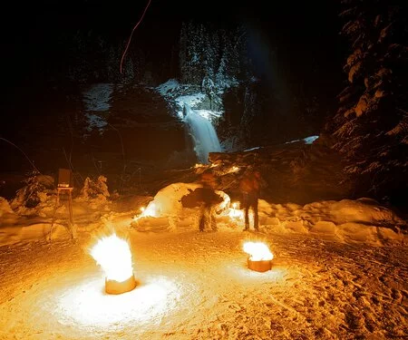
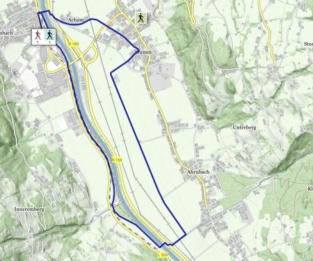
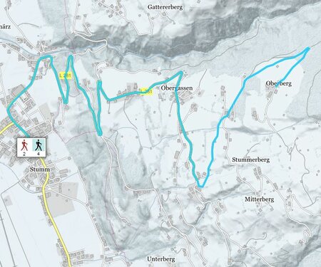
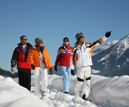
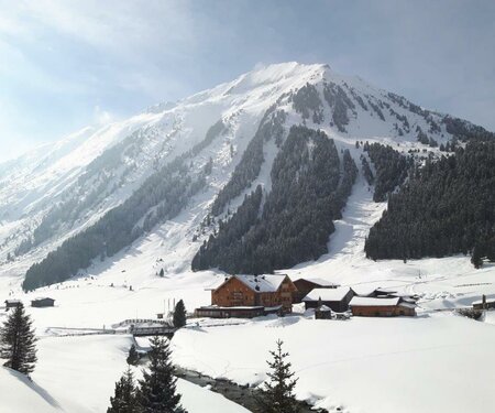
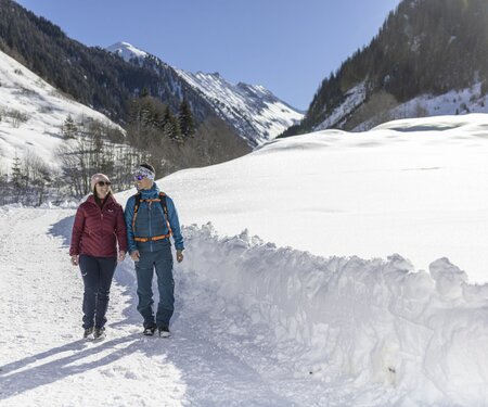
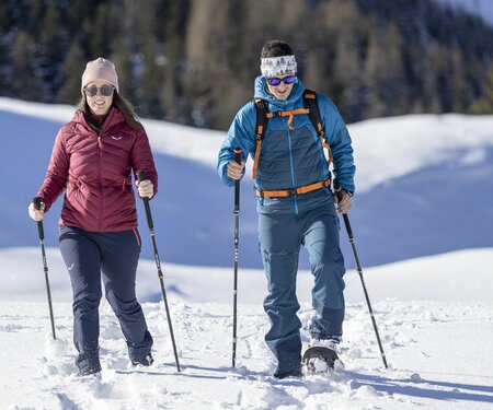
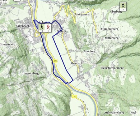
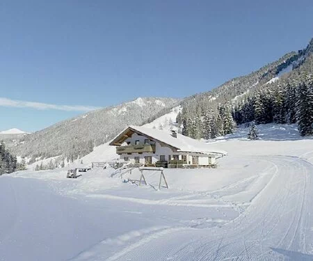
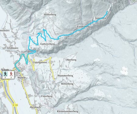
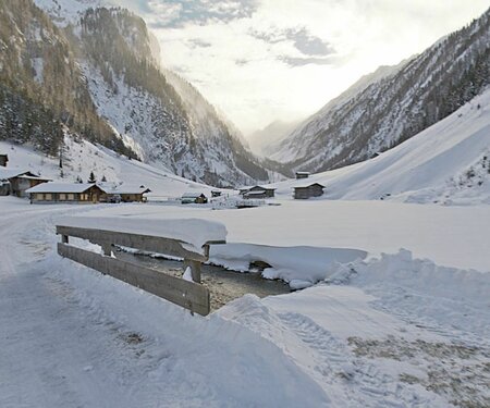
Winter hiking in the Zillertal Arena

Far away from the hustle and bustle of the slopes, there is much more to discover and experience in the Zillertal Arena. Surrounded by glittering and unique mountain scenery, the villages of Zell, Gerlos, Wald, Königsleiten and Krimml offer numerous snow-covered winter hiking trails that invite you to enjoy and dream. Enjoy the peace and quiet during your winter holiday in Zillertal and Pinzgau!

Select Filter
Filter
Starting Point
Bergstation Gerlossteinbahn
End Point
Bergstation Gerlossteinbahn
highest point
1674 m
Walking time
01:30 h
Route Length
1 km
altitude meters uphill
25 hm
highest point
710 m
Walking time
01:00 h
Route Length
1 km
altitude meters uphill
110 hm
Status Closed
Starting Point
Parkplatz WasserWelten Krimml
End Point
Heimkehrerkreuz
highest point
1173 m
Walking time
00:35 h
Route Length
1.84 km
altitude meters uphill
78 hm
Starting Point
Talstation Rosenalmbahn
End Point
Kaiserstadt
highest point
640 m
Walking time
01:00 h
Route Length
3 km
altitude meters uphill
80 hm
Status Closed
Starting Point
Wald
End Point
Krimml
highest point
1187 m
Walking time
03:22 h
Route Length
9.55 km
altitude meters uphill
568 hm
Difficulty
Middle
Starting Point
Gerlosplatte valley station (1.470m)
End Point
Gerlosplatte valley station (1.470m)
highest point
1471 m
Walking time
02:00 h
Route Length
9.7 km
altitude meters uphill
64 hm
Starting Point
Isskogelbahn valley station (1.300m)
End Point
Isskogelbahn valley station (1.300m)
highest point
1600 m
Walking time
02:30 h
Route Length
7.9 km
altitude meters uphill
300 hm
Difficulty
Middle
Starting Point
Isskogelbahn valley station (1.300m)
End Point
Isskogelbahn valley station (1.300m)
highest point
1411 m
Walking time
02:15 h
Route Length
6.9 km
altitude meters uphill
150 hm
Starting Point
Nähe Krimmler Wasserfälle
End Point
Bräuern-Brücke
highest point
1060 m
Walking time
01:00 h
Route Length
3.65 km
altitude meters uphill
10 hm
Starting Point
Wald - Ortsmitte
End Point
Schnitzerei Kammerlander
highest point
923 m
Walking time
00:36 h
Route Length
1.92 km
altitude meters uphill
55 hm

Order brochures

Tips for holiday planning, ideas for your perfect winter holiday, the ski area, excursion tips and much more can be found in our brochures. Simply download or order.

Find out more

Zillertal Arena Winter-Magazine
Your newsletter

Sign up for our newsletter and receive the best tips every month for the latest offers, ski area, events and much more.

The content cannot be displayed.
Please accept the cookies to load the content.