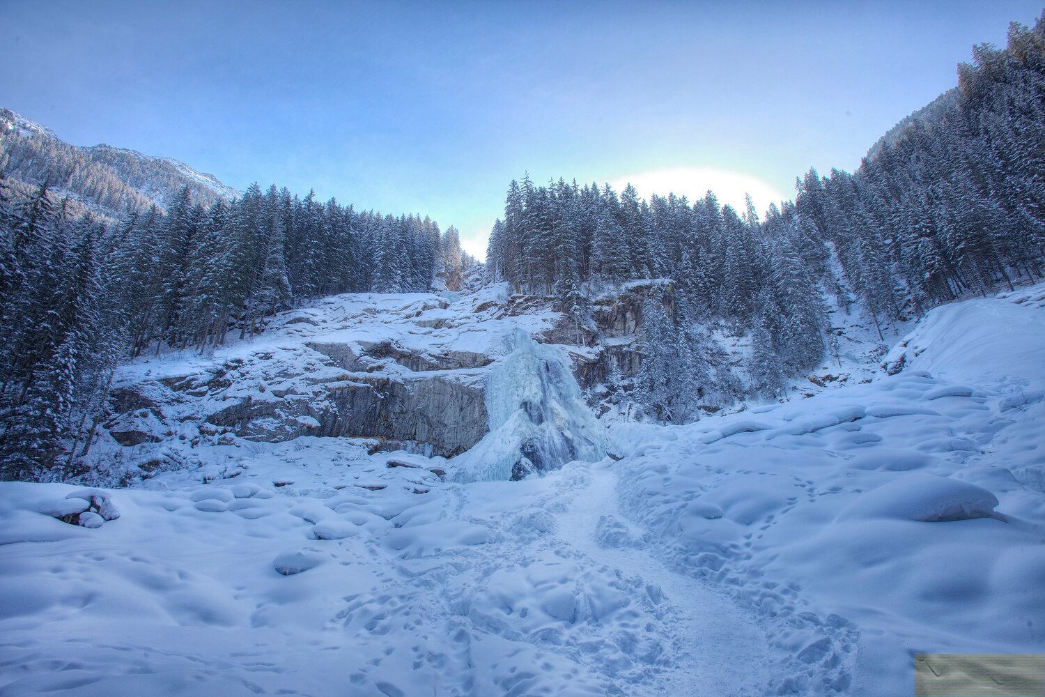
Achenwaldweg Krimml

Overview

Walking time
01:00 h
Route Length
3.65 km
altitude meters uphill
10 hm
altitude meters downhill
140 hm
highest point
1060 m
Route Start

Nähe Krimmler Wasserfälle

Route End

Bräuern-Brücke

Altitude Profile

Weather

weather today
Sun and clouds
weather tomorrow
11° Mostly sunny

Downloads

Description

A pleasant hiking path alongside the Krimmler Ache.

The Krimmler Achenwaldweg begins close to Krimml Waterfalls and is relatively flat (with one short exception), taking you in the direction of Wald i. Pzg. 

Your newsletter

Sign up for our newsletter and receive the best tips every month for the latest offers, ski area, events and much more.

The content cannot be displayed.
Please accept the cookies to load the content.