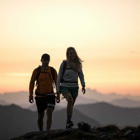
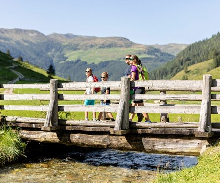
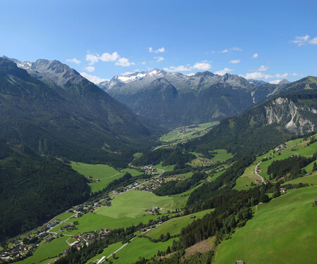
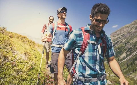
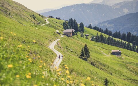
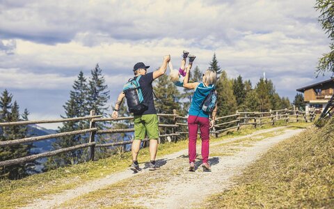
Zillertal Arena hiking routes
400
Kilometres of
hiking trails
await you
hiking trails
await you
4
Summer
cable cars
cable cars
9
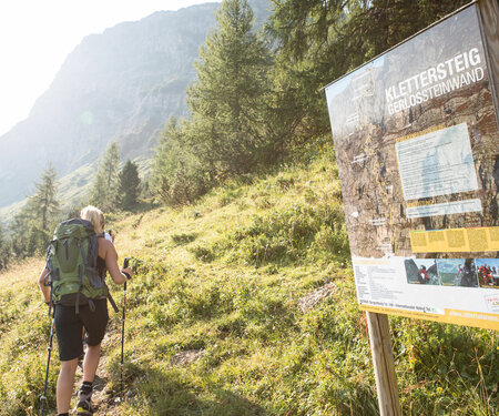
Varied themed hiking trails
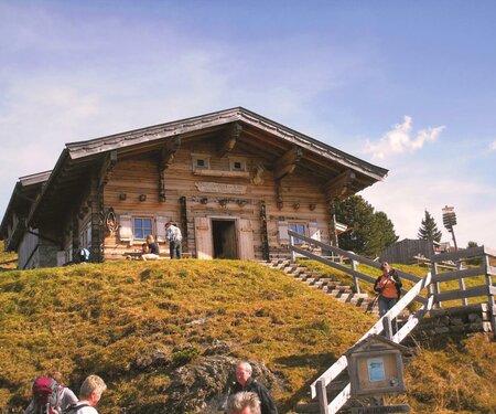
40
Refreshments in huts and mountain inns
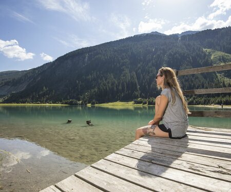
3
Mountain lakes
to cool down
to cool down


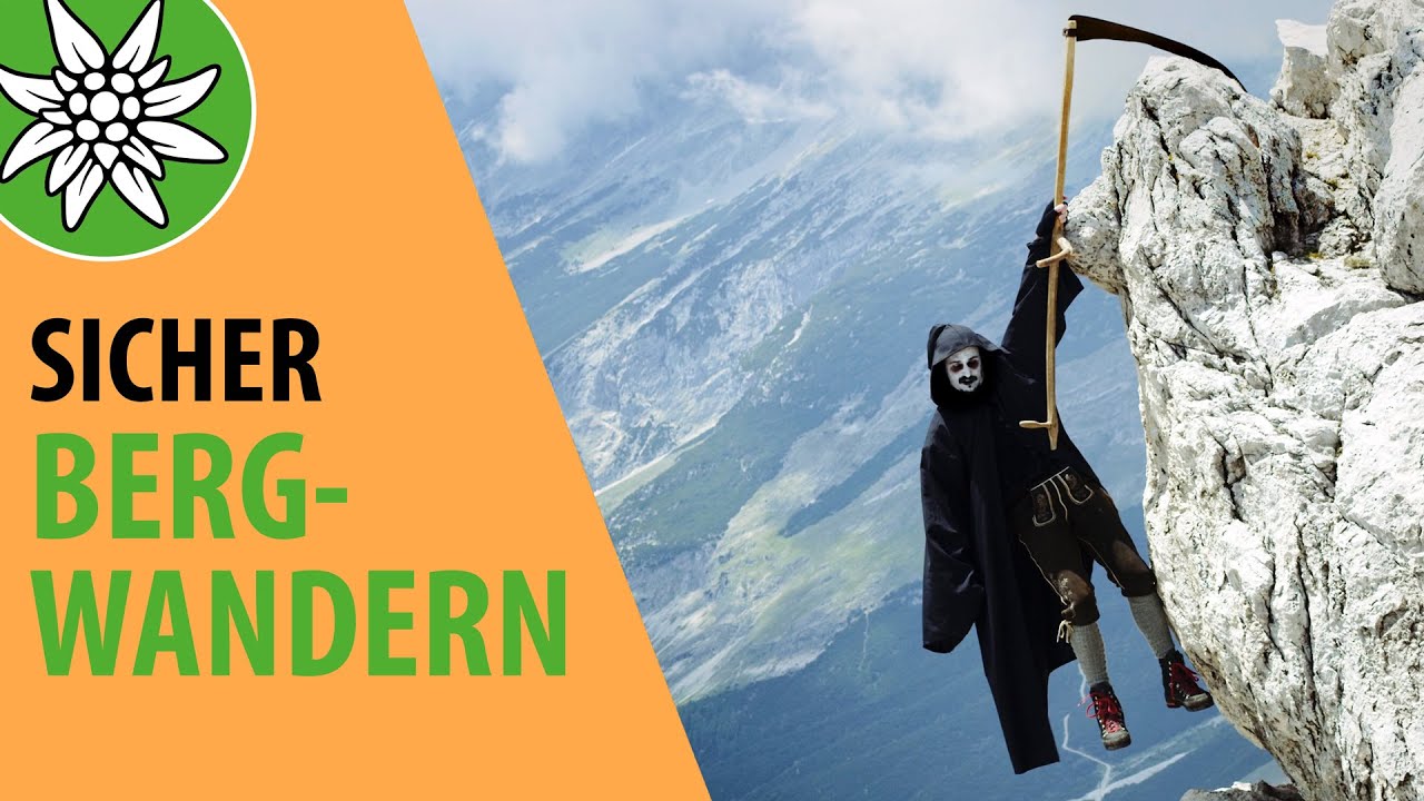
The Austrian Alpine Club presents useful tutorials and tips for mountain hiking in the “Safe Mountain Hiking” video series with Berti & Gerti
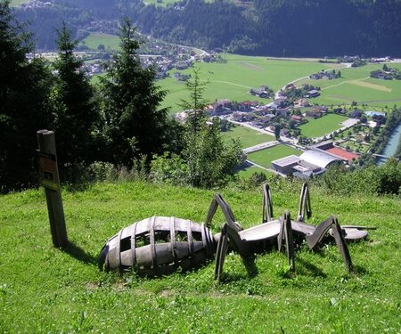
Funty hiking pass
You can find a life-size me everywhere in the Zell, Gerlos, Wald-Königsleiten and Krimml-Hochkrimml region. As a surprise, I’ve come up with something very special for you. Once you have collected 5 of the 11 stamps inside the booklet, you can take me – FUNty home with you as a souvenir from the tourist offices in Zell or Gerlos.