
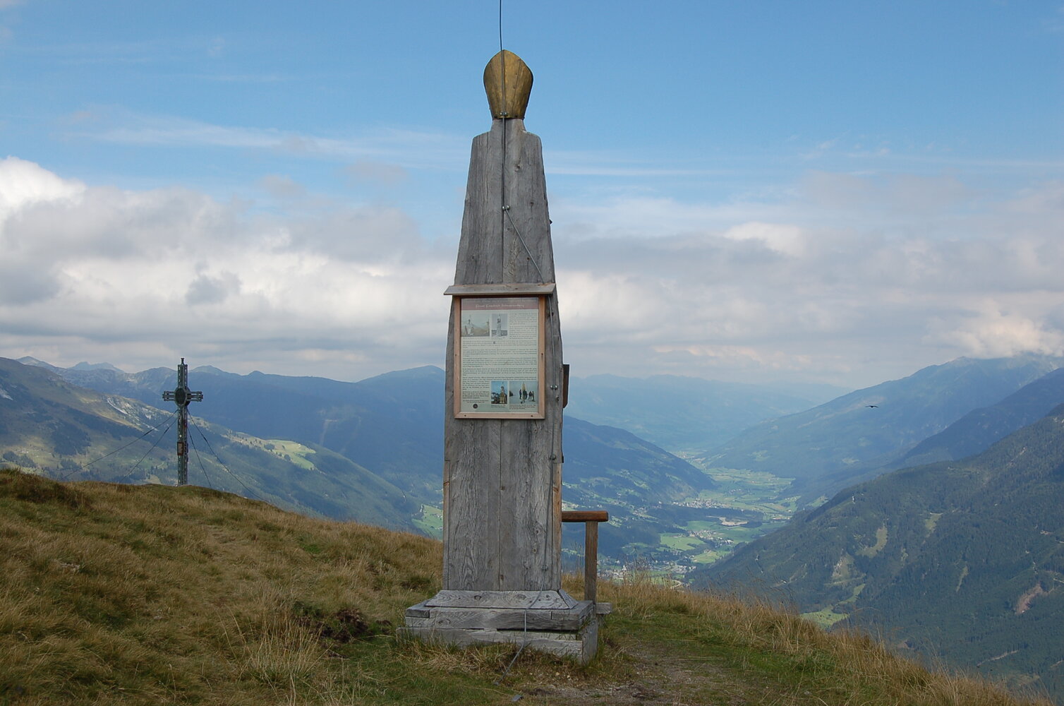
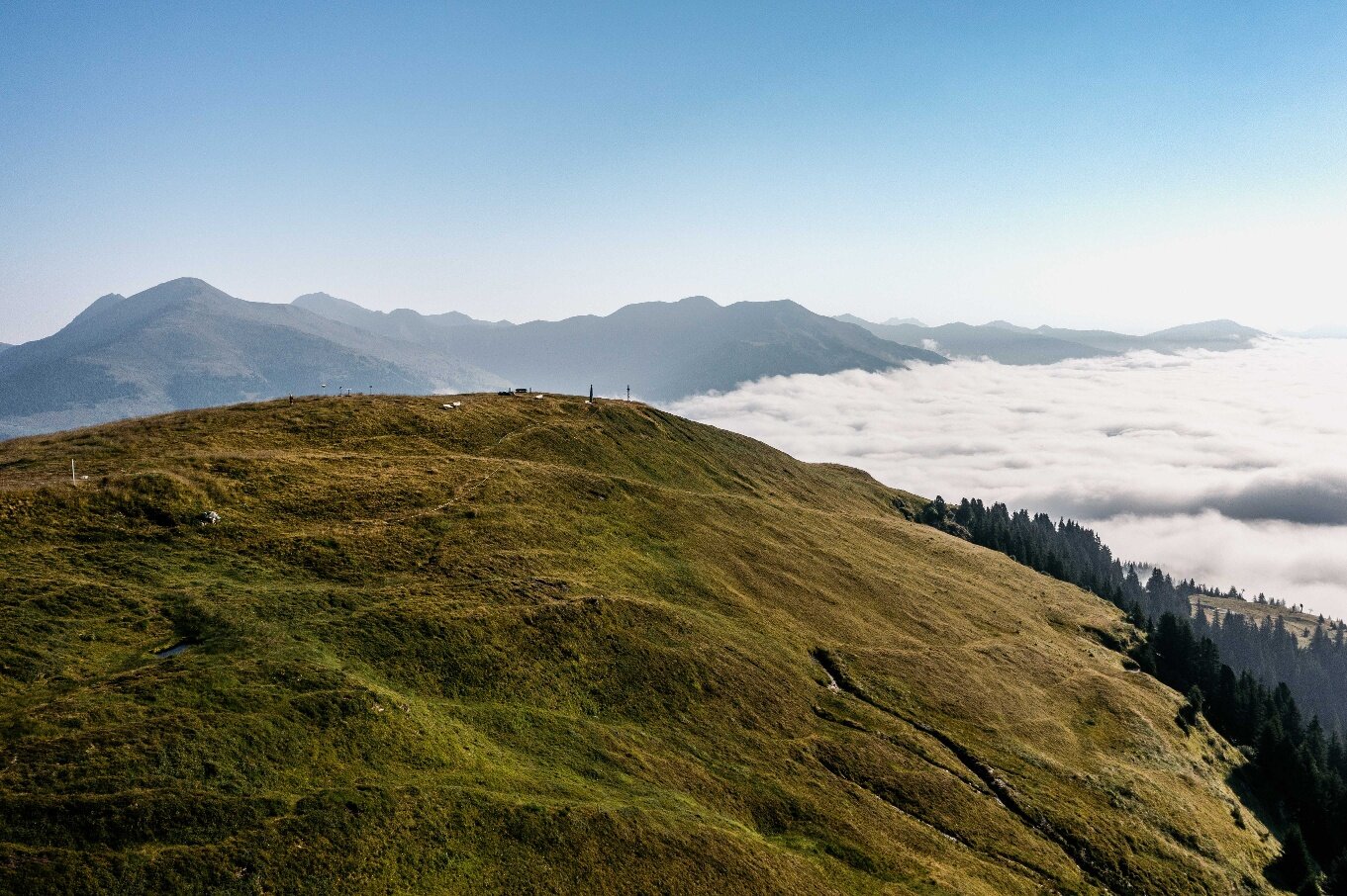
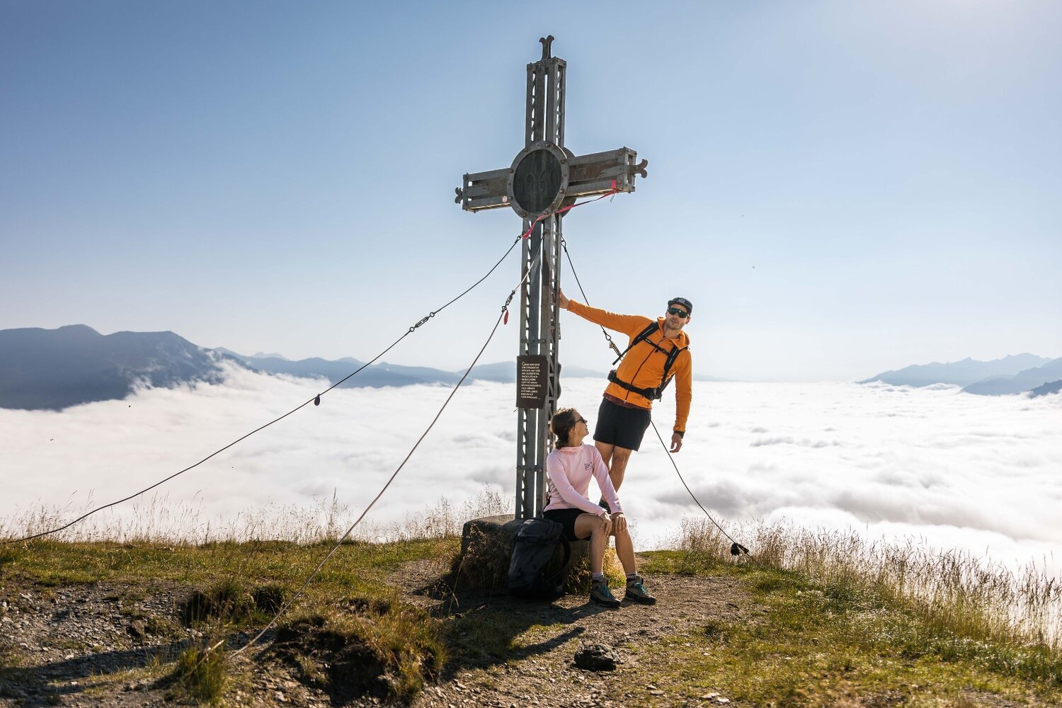
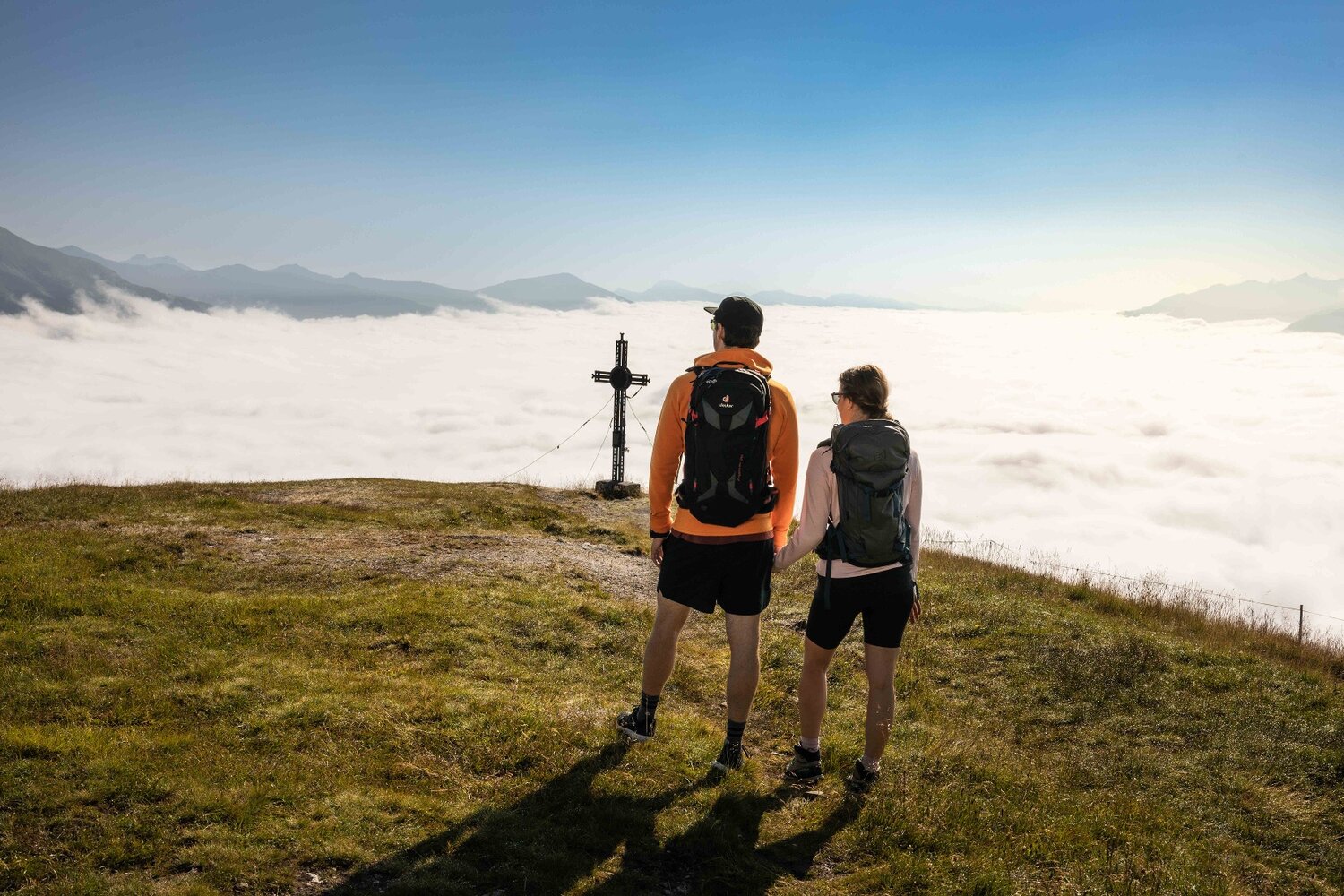
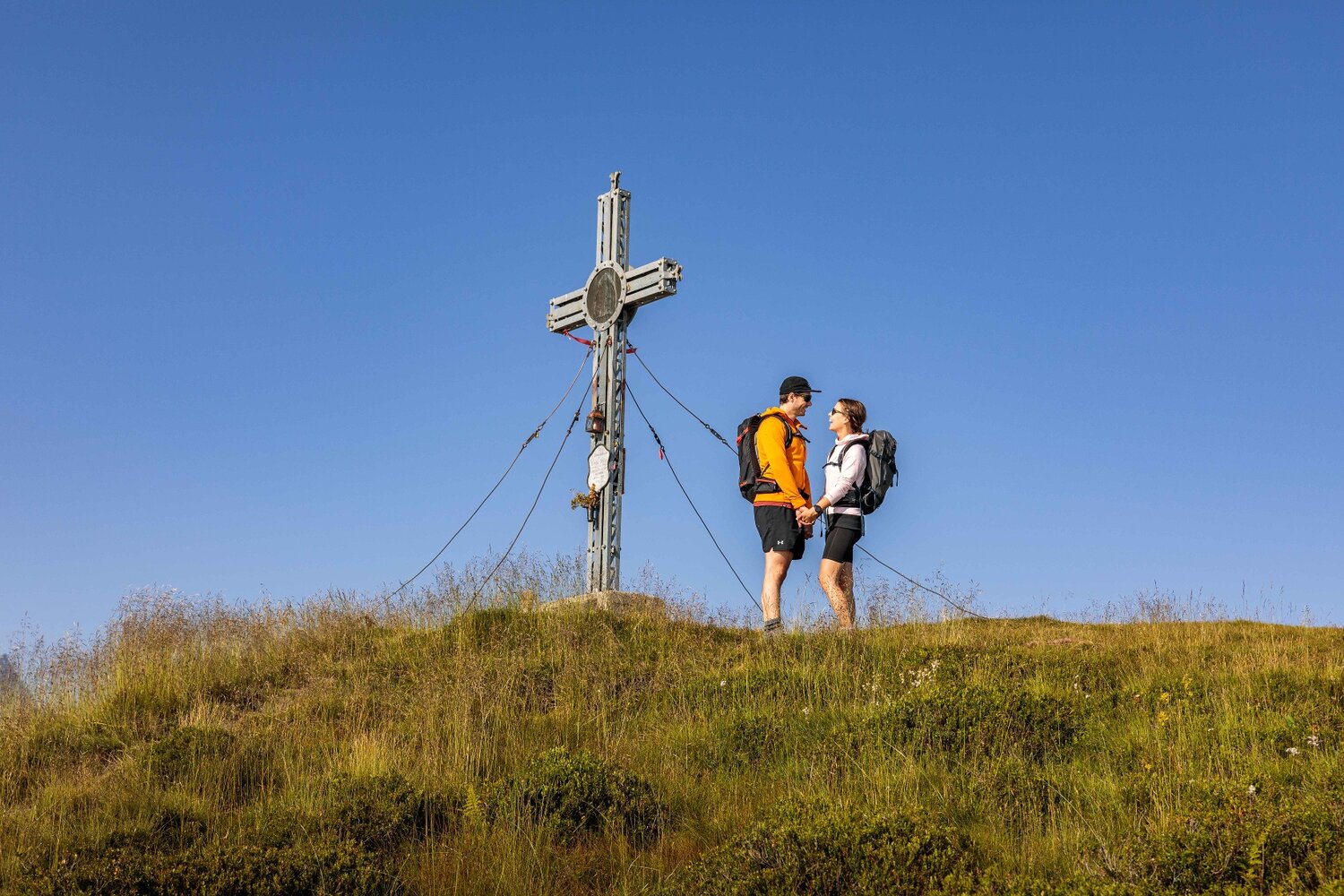
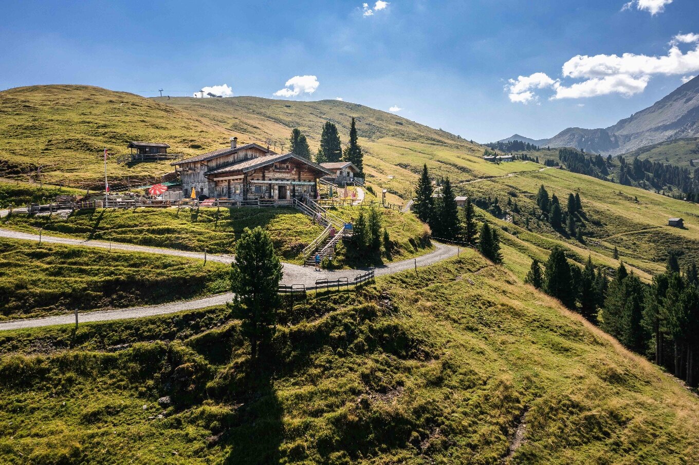
The starting point is the district Unterkrimml. In the area of the organic farm Bergerbauer, a gravel path leads initially and then a hiking trail over meadows and forests to the unmanaged Samalpe. Shortly after the alp you cross the Gerlos Alpine Road and follow the path towards the district Filzstein and from here without ascent to Silberleiten. Now it becomes a bit steeper again, but soon you reach the Gletscherblickalm, which invites you to a cozy rest. Well strengthened you now manage the last meters to the summit of the Plattenkogel. From the summit you have a breathtaking view of the glaciated mountains of the national park, as well as into the Zillertal and Salzach valley. On the way back to the district Filzstein you also pass the rustic BergGeistAlm.