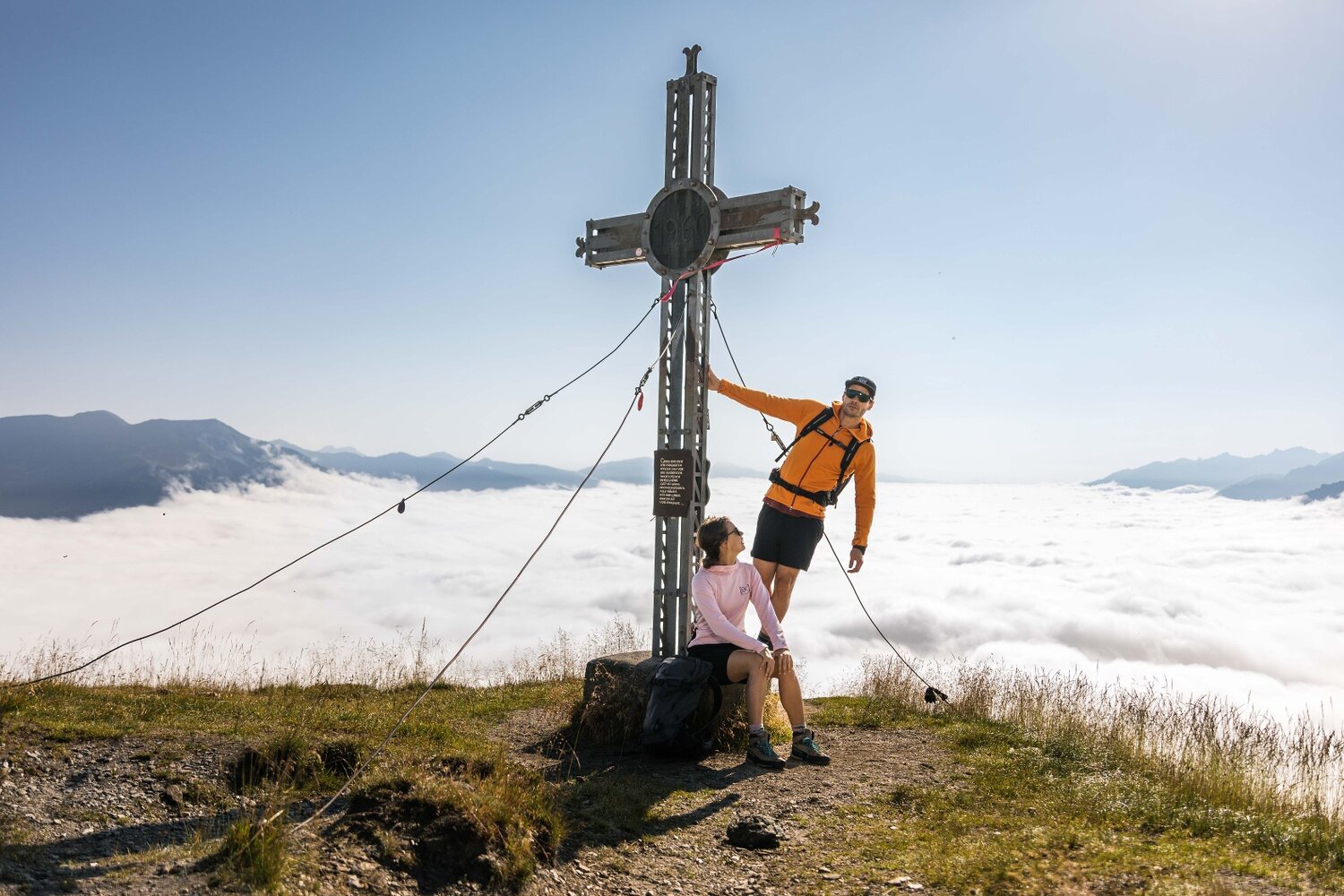
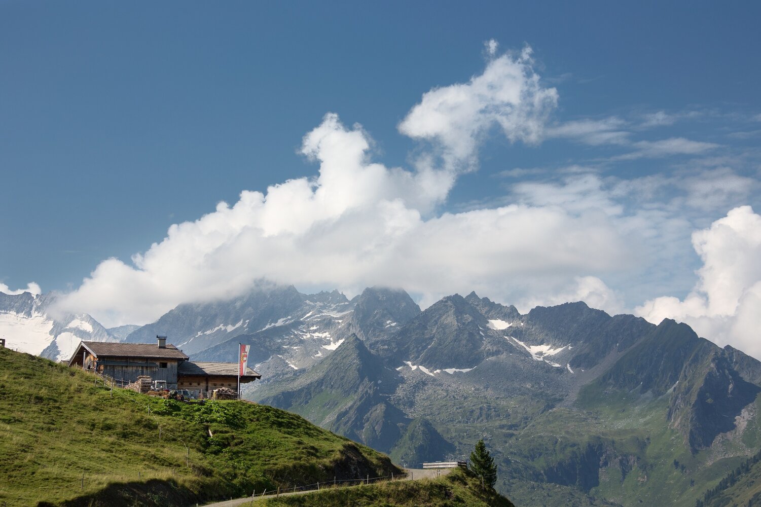
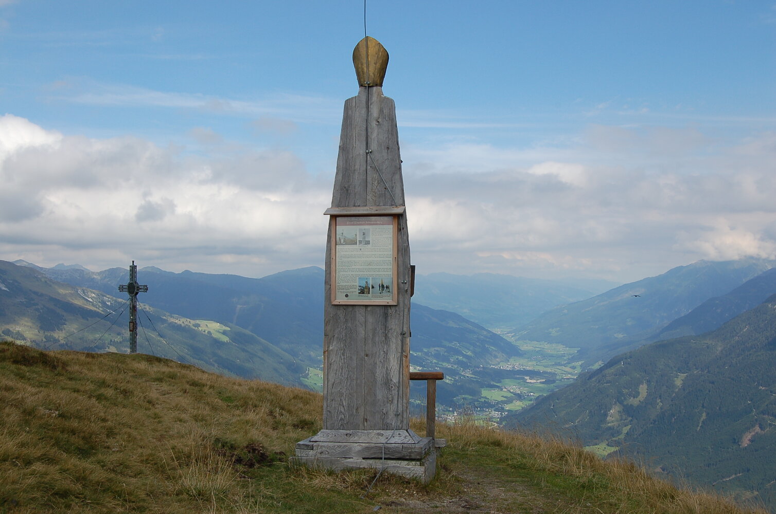
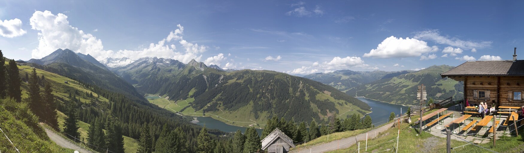
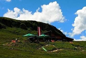
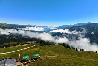
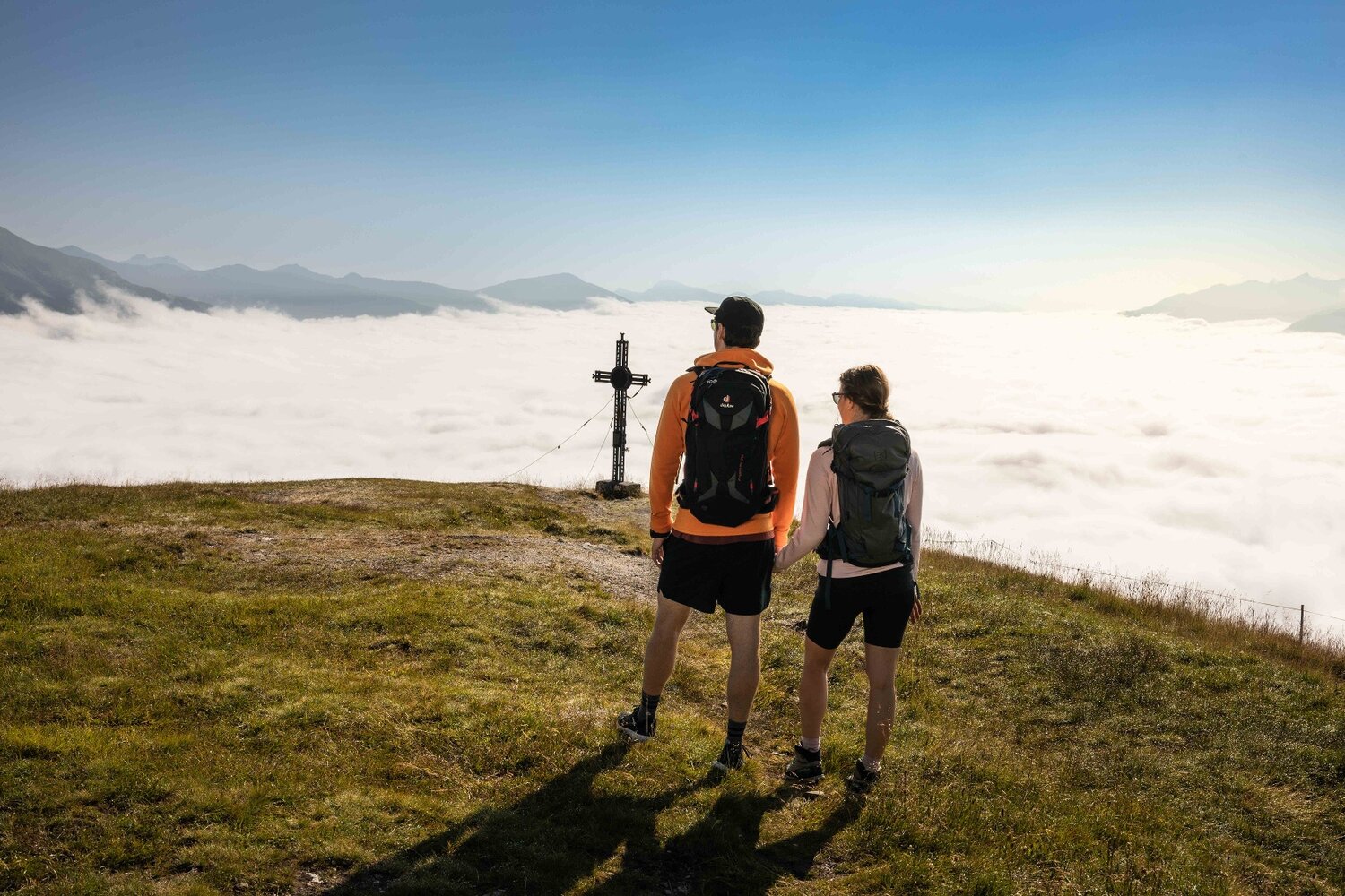
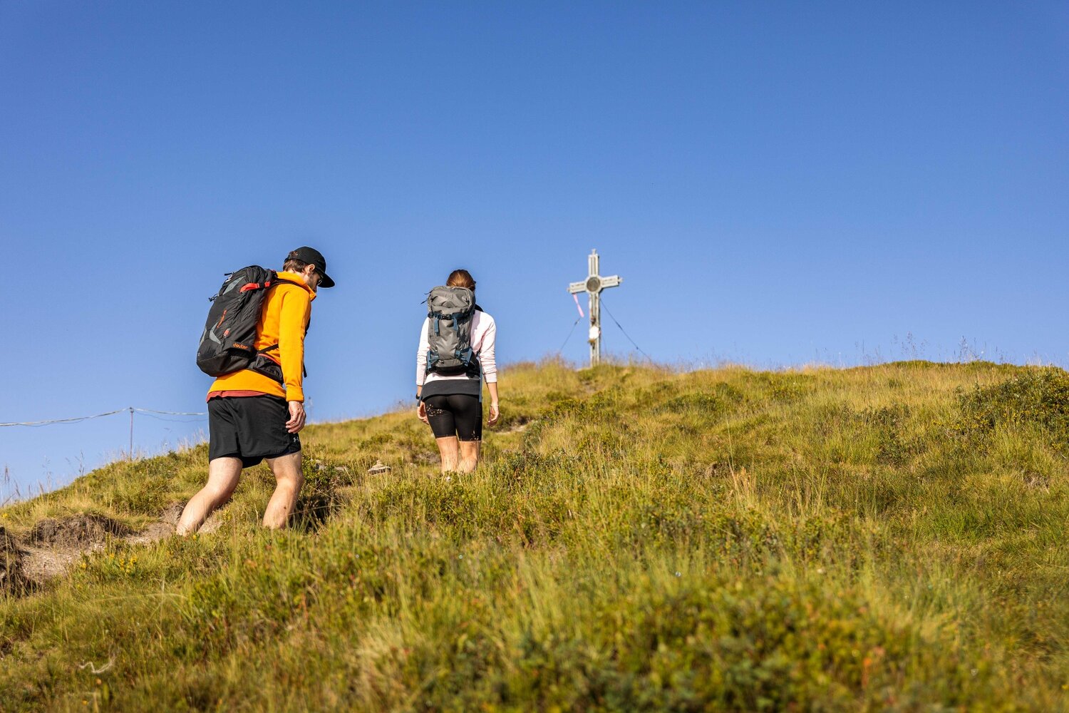
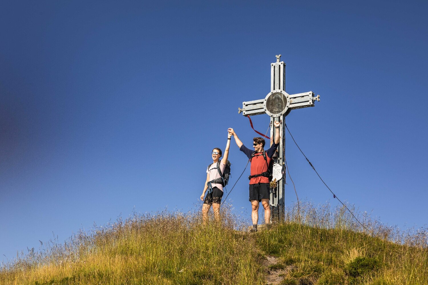
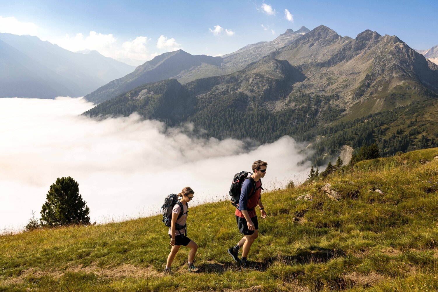
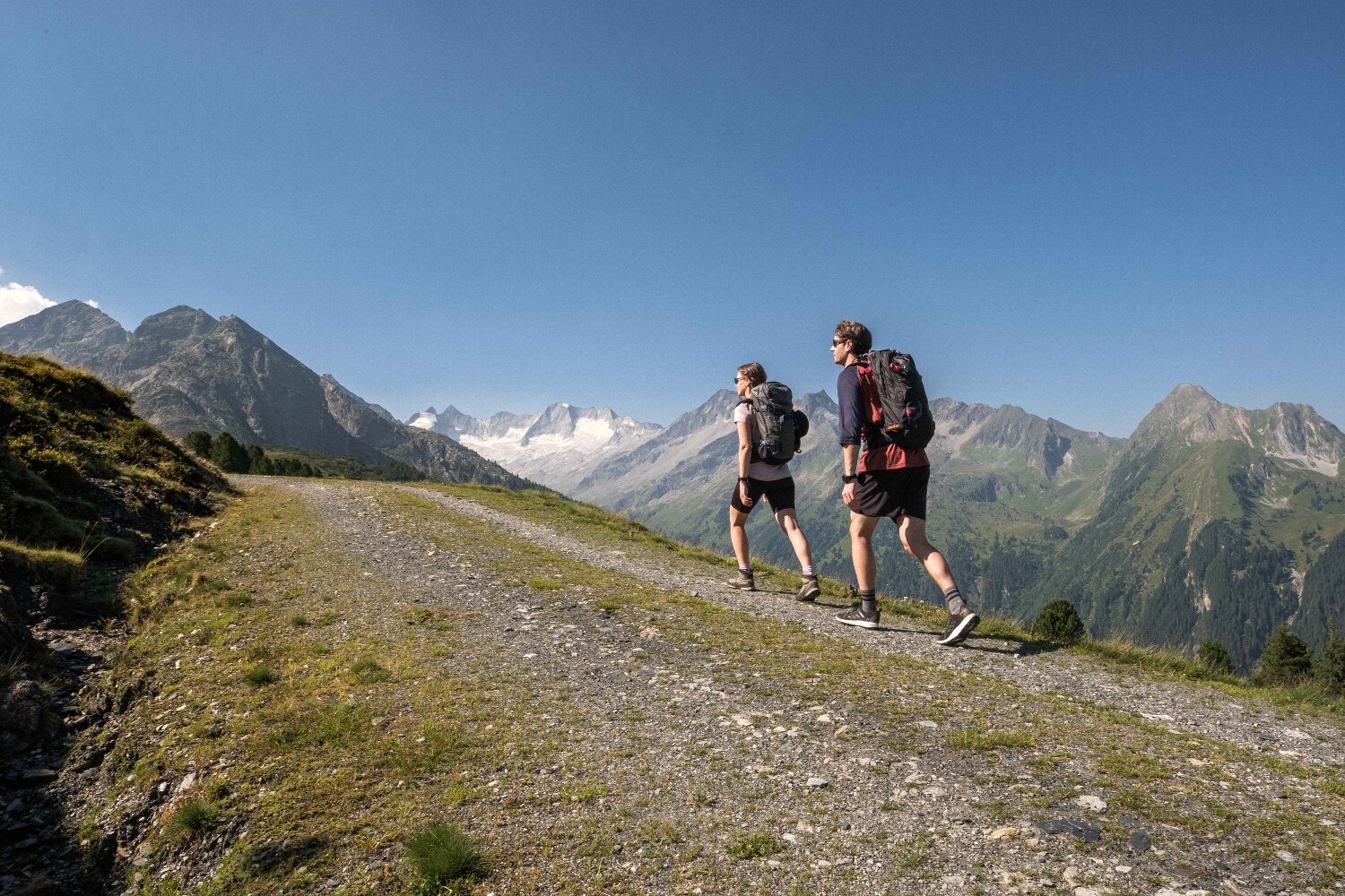
Duxeralm - Plattenkogel

Overview

Walking time
01:40 h
Route Length
5.98 km
Difficulty
Middle
altitude meters uphill
350 hm
altitude meters downhill
350 hm
highest point
2040 m
Route Start

Duxeralm

Route End

Duxeralm

Altitude Profile

Weather

weather today
Sleet, sun and clouds
weather tomorrow
15° Lots of clouds, some sun

Downloads

Description

beautiful circular trail with summit and panorama

This circular trail starts in the Duxeralm district of Hochkrimml. From here, the path leads next to alpine meadows to the summit cross of Krimml's local mountain - the Plattenkogel. At the summit, in good weather, you have a magnificent view of the Hohe Tauern with the glaciated peaks, as well as in an easterly direction over the entire Salzach Valley and in a westerly direction into the Tyrolean Zillertal. The descent takes us in the direction of the Silberleiten district. On the way, you can make a short detour to the Gletscherblick Alm. From the Silberleiten you hike back to the starting point.

Your newsletter

Sign up for our newsletter and receive the best tips about the Zillertal Arena, the latest offers, events and much more every month.

The content cannot be displayed.
Please accept the cookies to load the content.