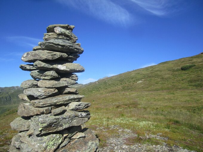
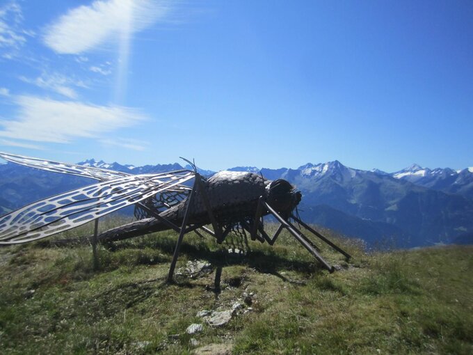
Summit Hike: Marchkopf (2,499 m)

Überblick

Gehzeit
05:00 h
Routenlänge
7 km
Schwierigkeit
Mittel
Höhenmeter Bergauf
680 hm
Höhenmeter Bergab
680 hm
Höchster Punkt
2499 m
Route Start

Zellbergstüberl oder Hirschbichlalm

Route Ende

Marchkopf (2.499 m)

Höhenprofil

Wetter

Wetter heute
18° Überwiegend sonnig
Wetter morgen
20° Überwiegend sonnig

Beschreibung

5-hour mountain tour to the Marchkopf. Starting point: Zillertal Höhenstraße, Mautstraße, Bereich Zellberg

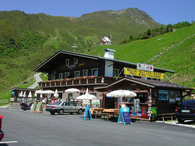
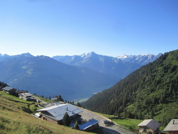
Starting point: Hirschbichlalm, 1,822 m (Zillertaler Höhenstraße - High Road, toll road)

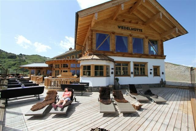
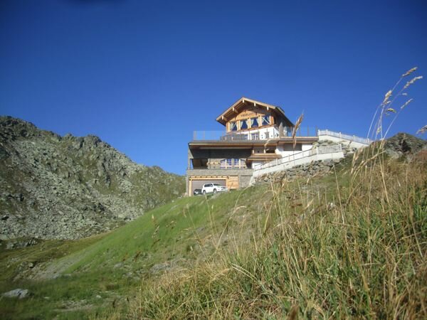
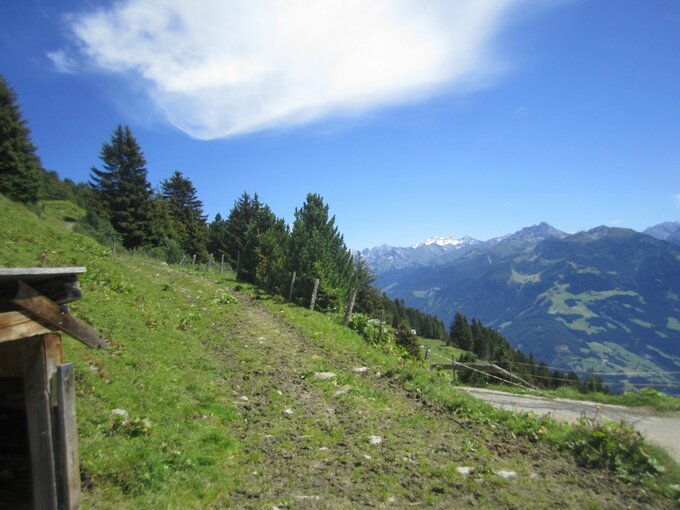
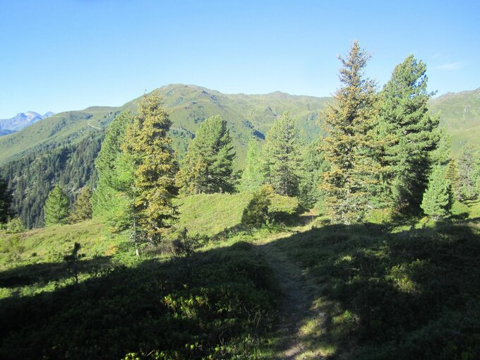
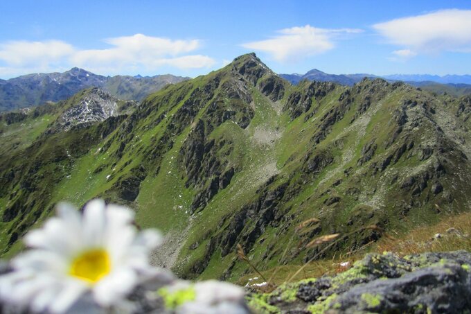
A short piece on the left to the West of the Hirschbichlalm along the street the marked way branches off the street after the huts. Follow the way over the wide pastures of the Krössbrunnalm. The way leads further to the mountain ridge with a wonderful view on a mountain lake. When you have reached the mountain ridge you have a marvellous view on the alpine huts of Hochfügen. There on the right further to the Marchkopf (2,449 m). From the summit it is a short and precipitous descent to the Wedelhütte (2,350 m). From there you follow the marked way through the basin back to the Hirschbichlalm.

 

dein Newsletter

Melde dich zu unserem Newsletter an und erhalte jeden Monat die besten Tipps rund um die Zillertal Arena, aktuelle Angebote, Veranstaltungen und vieles mehr.

Der Inhalt kann nicht angezeigt werden.
Bitte akzeptieren Sie die Cookies, um den Inhalt zu laden.