Gerloser Wiesenweg

Überblick

Gehzeit
04:45 h
Zeit Bergauf
02:30 h
Zeit Bergab
02:15 h
Routenlänge
13.4 km
Höhenmeter Bergauf
684 hm
Höhenmeter Bergab
684 hm
Höchster Punkt
1948 m
webx_gs_stamina
pictogram?
webx_gs_skill
pictogram?
webx_gs_public_transport

With the bus 4094 to Gerlos.

​Exit point: Isskogelbahn

webx_gs_parking

At the Isskogelbahn

Route Start

Isskogelbahn valley station (1.300m)

Route Ende

Isskogelbahn valley station (1.300m)

Höhenprofil

Wetter

Wetter heute
Schneeregen, überwiegend bewölkt
Wetter morgen
Dichte Wolken, etwas Regen

Beschreibung

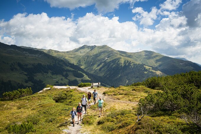
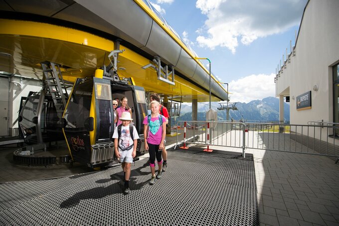
The hike along the Gerlos Wiesenweg begins in the Innertal district at the Isskogelbahn car park. Before the Krummbach Bridge, the road leads left past Landhaus Platzer. After approx. 100 m the asphalted road branches off to the right. Always following the Gerlos Wiesenweg uphill, you can reach the “Rössl Alm” in about 1.5 hours. From there a path leads to the mountain station of the Isskogelbahn and on to the Latschenalm.

Return on the same route.

dein Newsletter

Melde dich zu unserem Newsletter an und erhalte jeden Monat die besten Tipps rund um die Zillertal Arena, aktuelle Angebote, Veranstaltungen und vieles mehr.

Der Inhalt kann nicht angezeigt werden.
Bitte akzeptieren Sie die Cookies, um den Inhalt zu laden.