

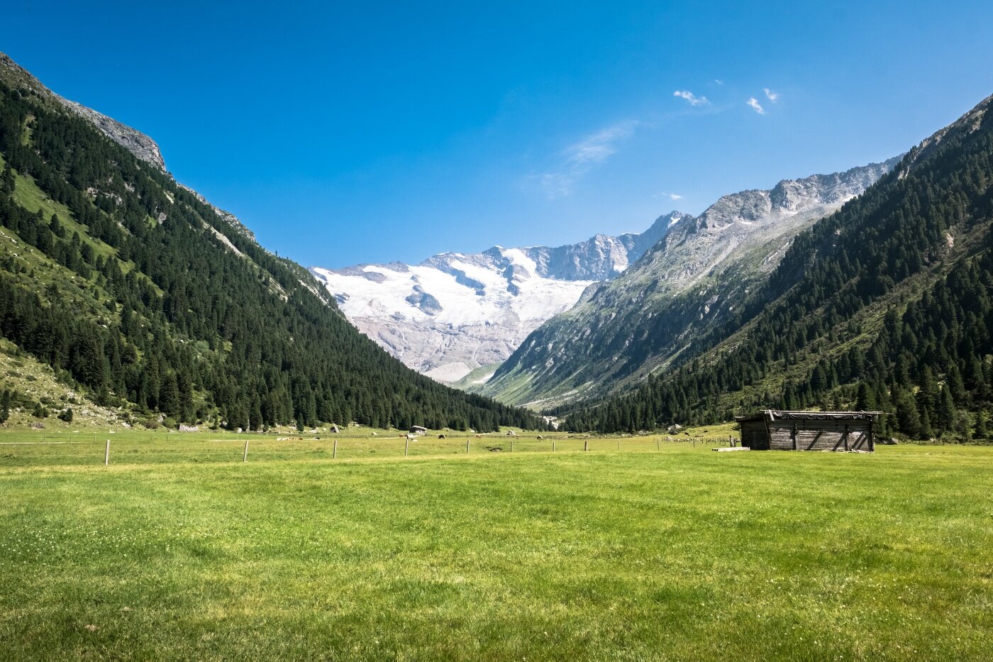
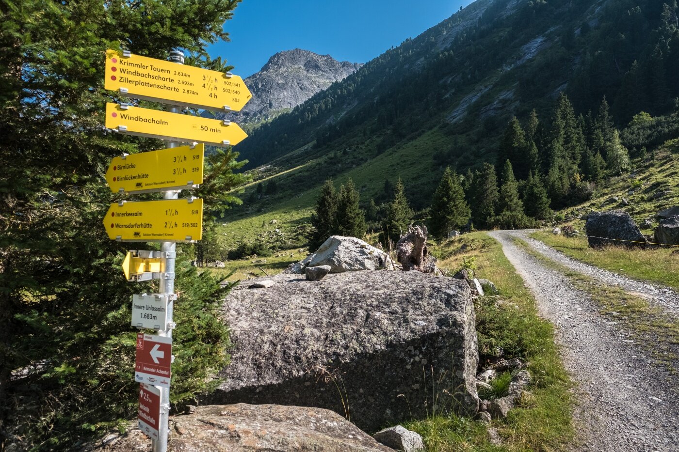
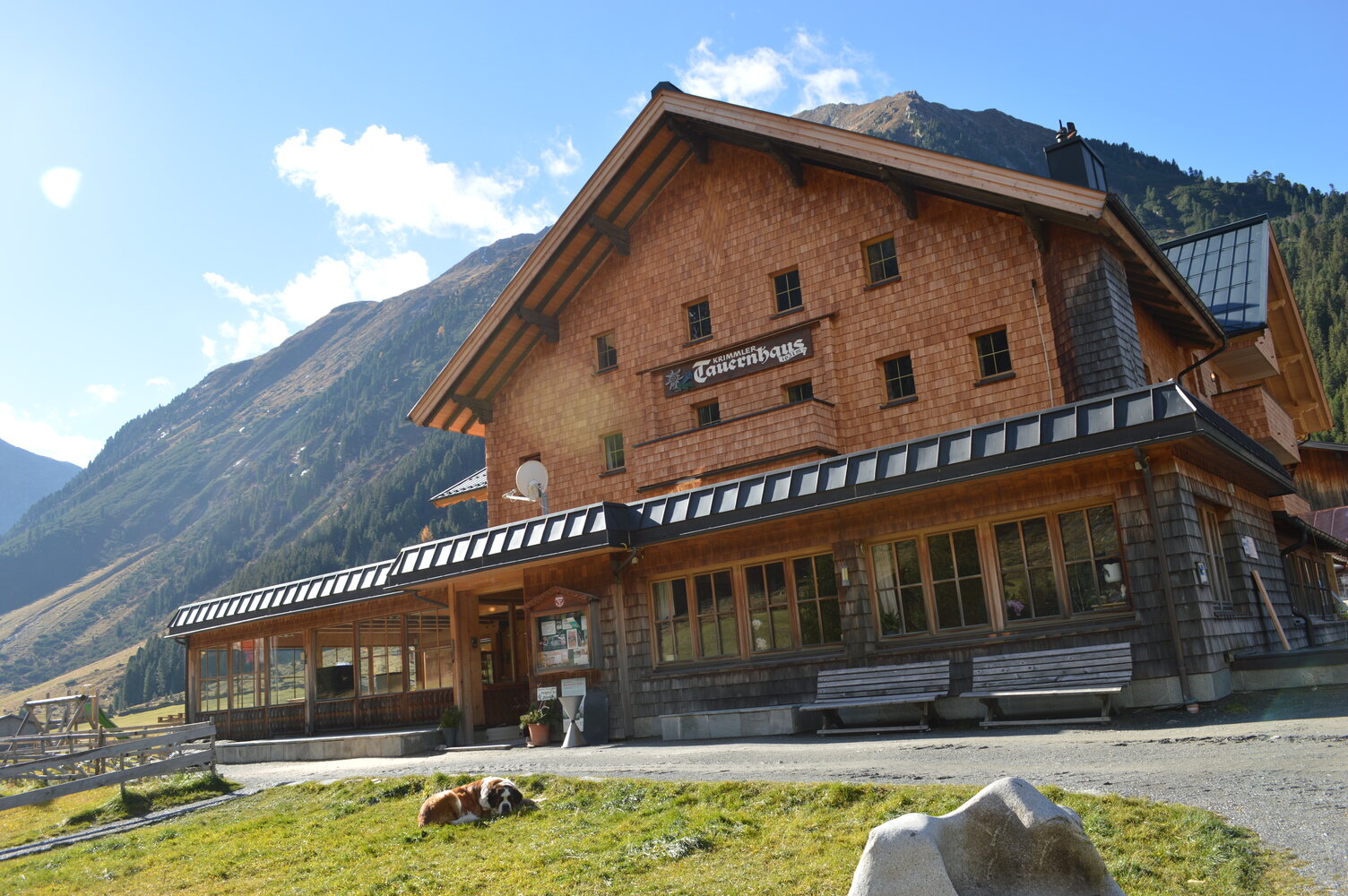
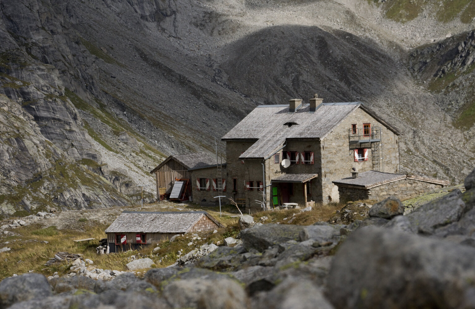
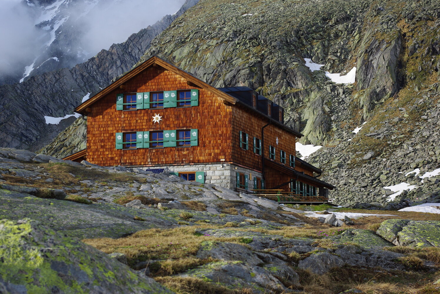
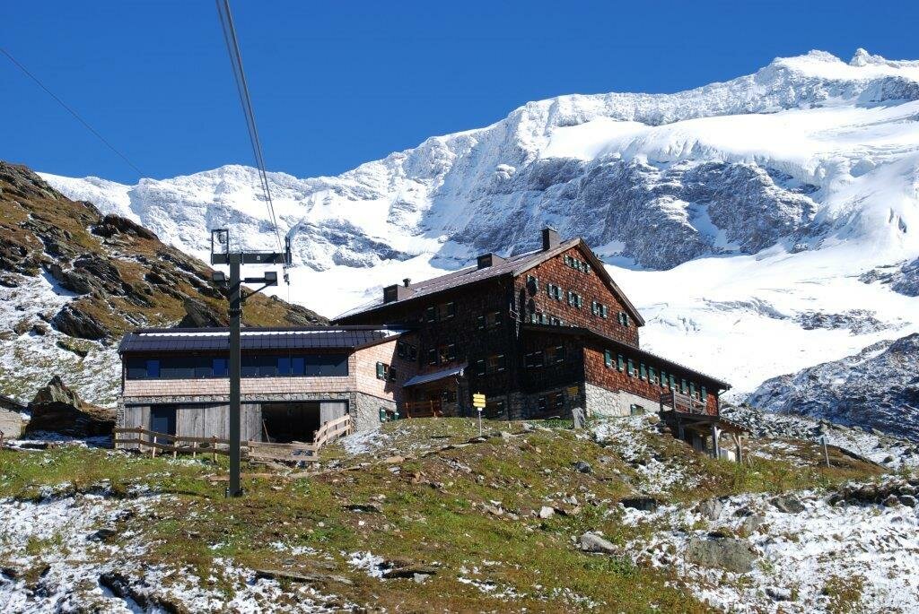
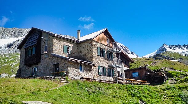
This six-day tour begins at the Tauernhaus in Krimmler Achental. The path leads you over the Rainbachscharte to the Zittauer Hütte in Wildgerlostal. Here, you are greeted by a beautiful view of the Upper and Lower Gerlossee. As you cross the Rosskarscharte, you will come to the Richter Hütte. Now, your hike takes you via the Windbachscharte to the shore of the Eissee and to the Zillerplattenscharte. At this point, the hike leads you in the direction of South Tyrol: to Heiliges Geistjöchl/Forcella di Campo. The Lausitzerweg follows the Krimmler Tauern via the Teufelsstiege trail to the Birnlücken Hütte. You will cross back over the border into Austria at the Birnlücke/Forcella del Picco. The Warnsdorfer Hütte, with the Eissee just 15 minutes away, finds itself in Krimmler Achental once again. At this point, you will hike to the Krimmler Tauernhaus once more - which was your original starting point.
Three-Province Tour along the main Alpine divide


Beschreibung
A high-alpine hiking tour along the ridgelines of the eastern Zillertal Alps and the western Venediger Group, through the border region which straddles Tyrol, Salzburg and South Tyrol.