

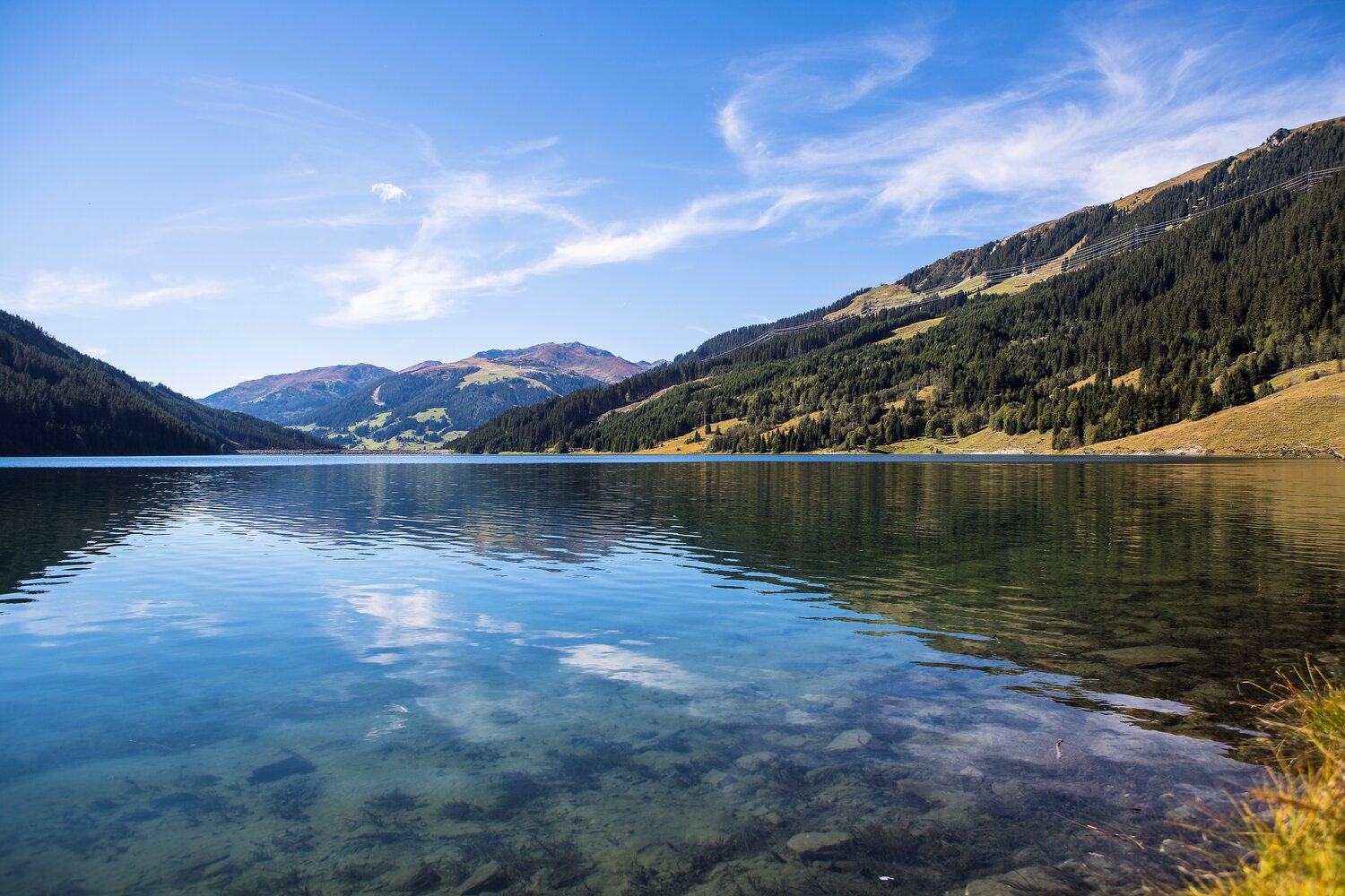
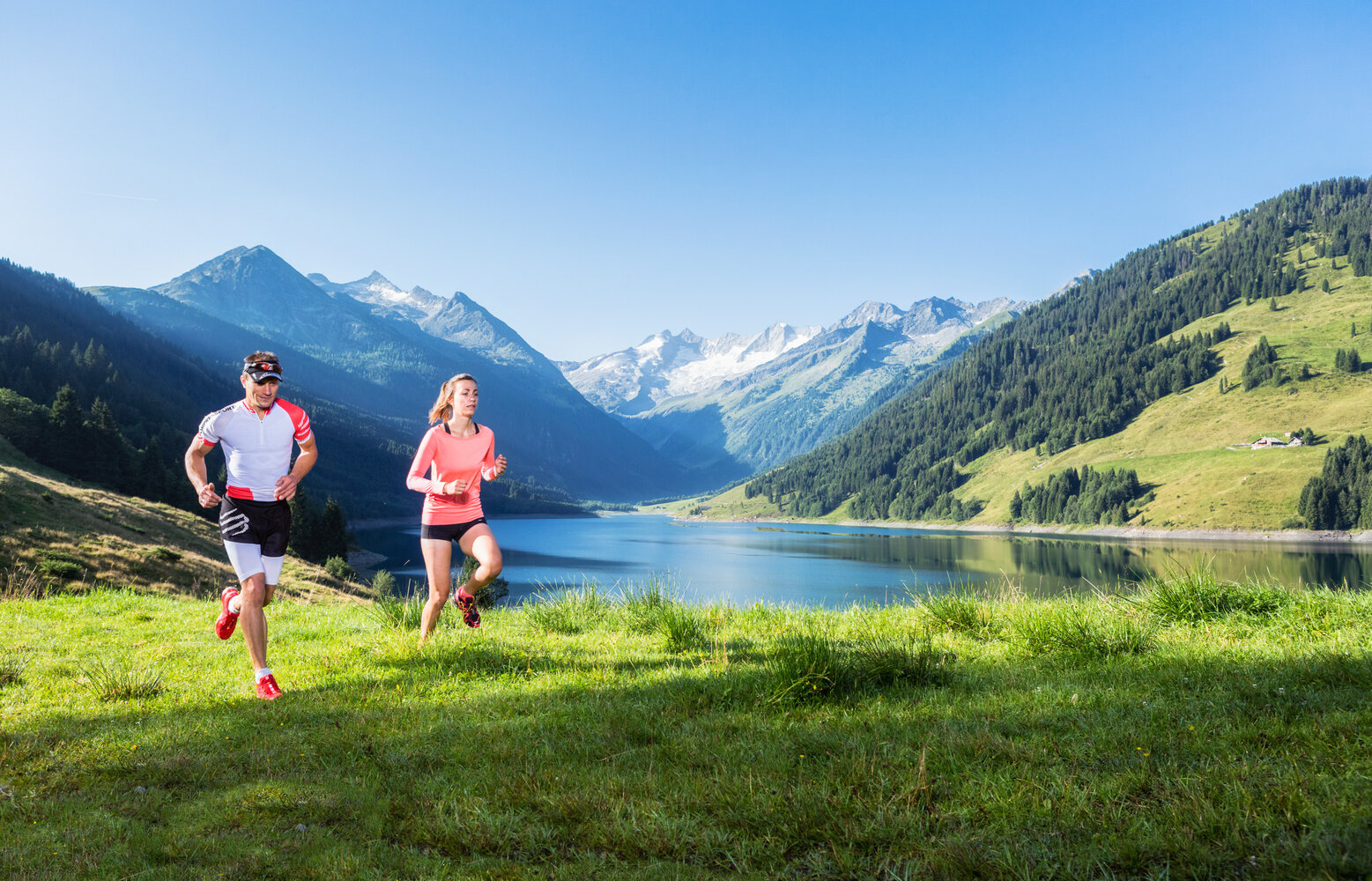
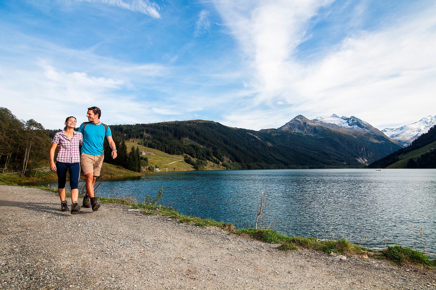
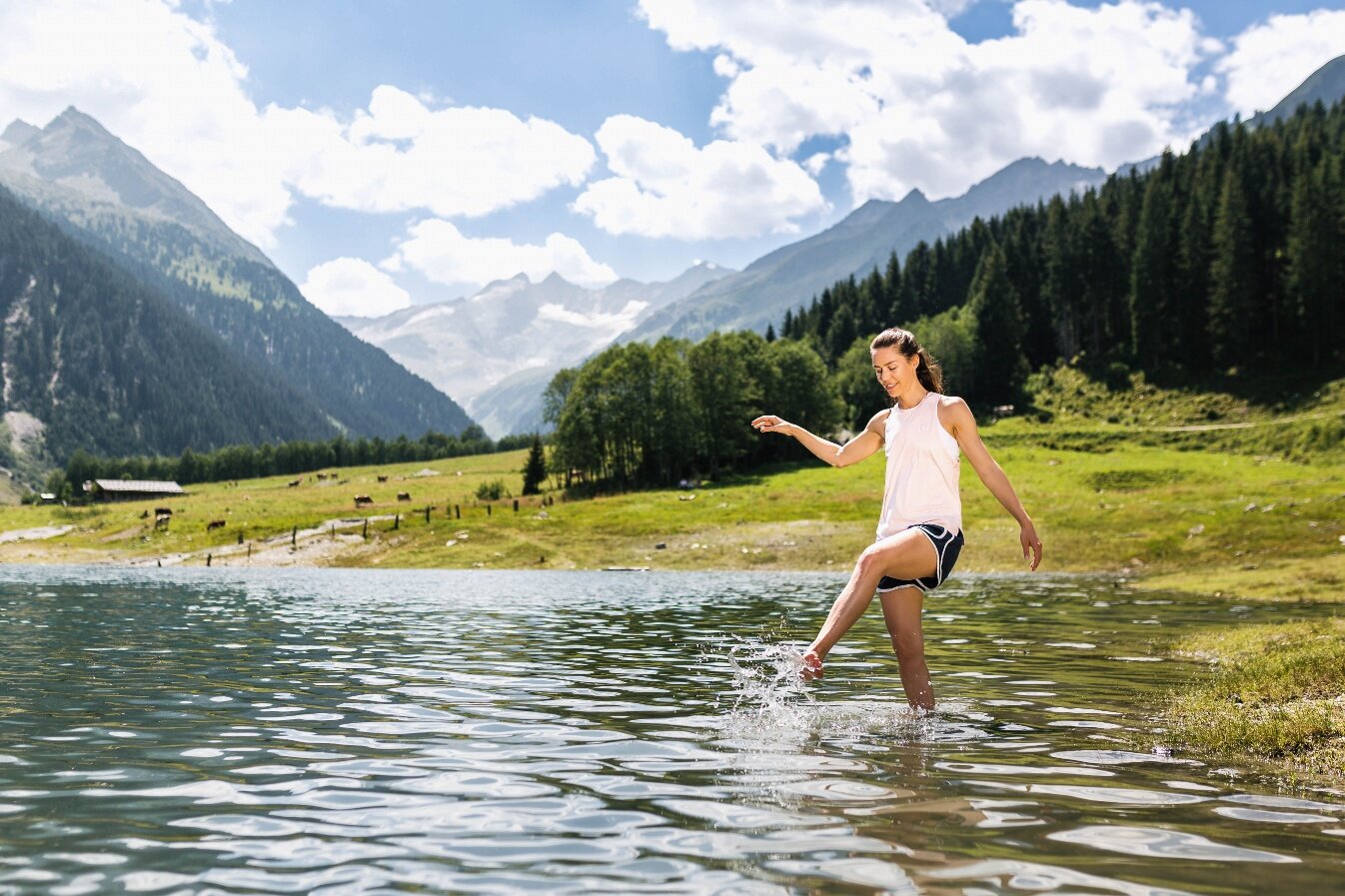
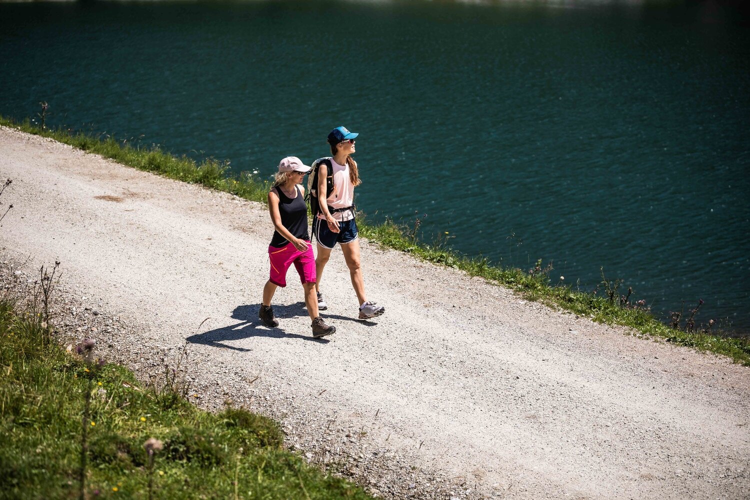
This hiking path, which takes you on a full loop of the lake, begins at the Bräuer Alm, right next to the road leading to Gasthof Finkau. If you go from here in the direction of the dam, you will soon come to the Seestüberl, where they also have boats available for rent. The path now takes you across the dam and later pass the Bärschlag Alm, yet another good refreshment opportunity. On hot days, you can enjoy a refreshing dip in the lake at various swimming areas. Close to the Schütthof Alm, you will cross the river that feeds into the reservoir, then walk along back to your original starting point.