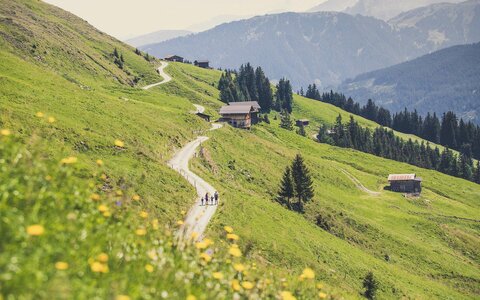
Zell-Gerlos hiking area
400
Kilometres of
hiking trails
hiking trails
9
Themed
trails
trails
136
Kilometres of
Nordic walking trails
Nordic walking trails
40
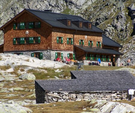
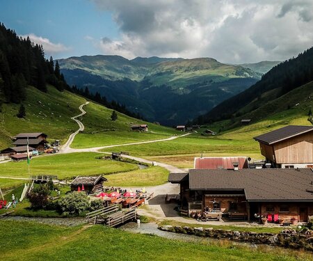
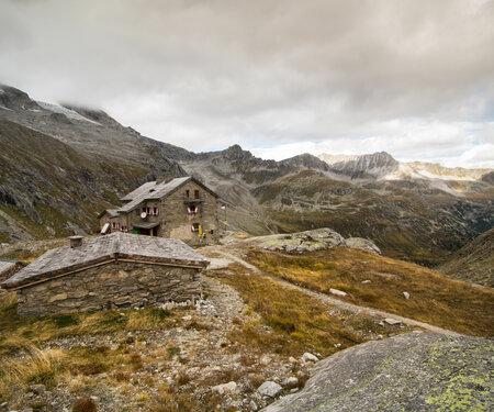
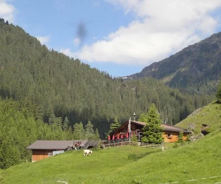
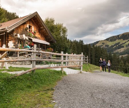
Huts &
mountain inns
mountain inns
Summer holidays
for mountain enthusiasts
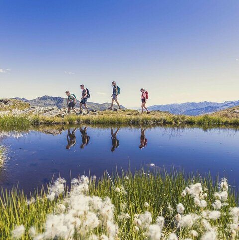
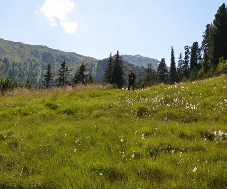
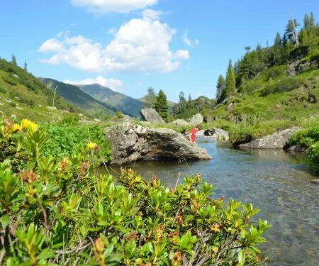
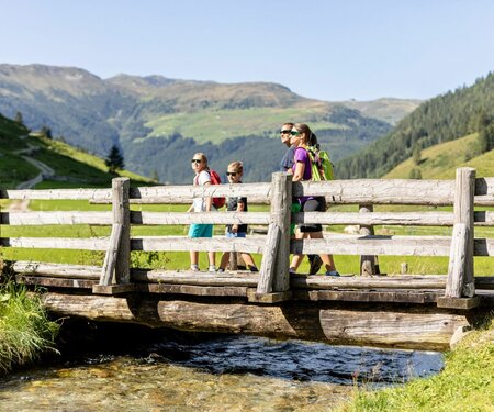
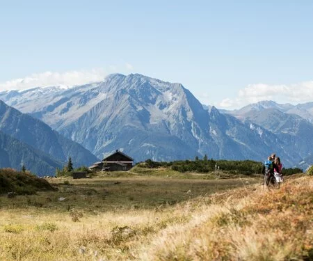
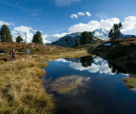
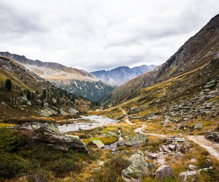
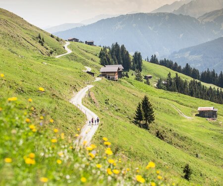
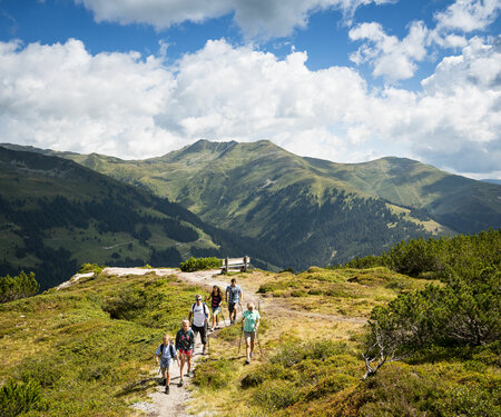
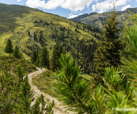
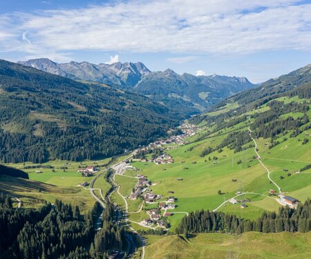
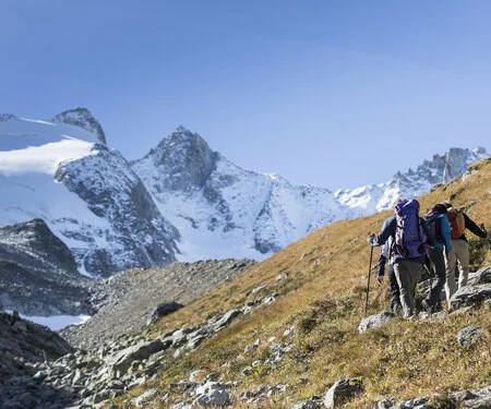
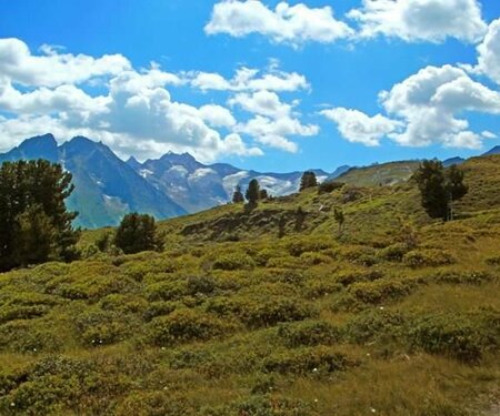
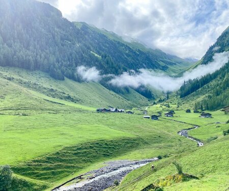
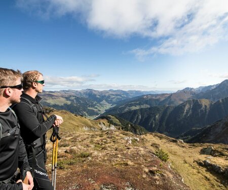
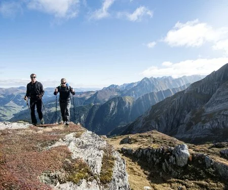
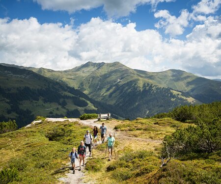
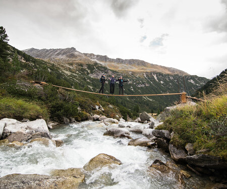
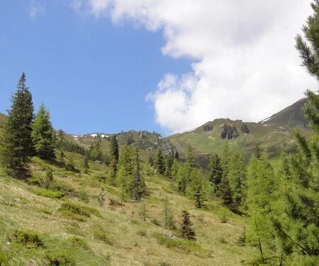
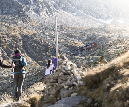
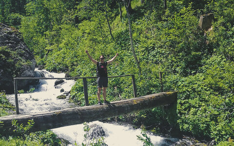
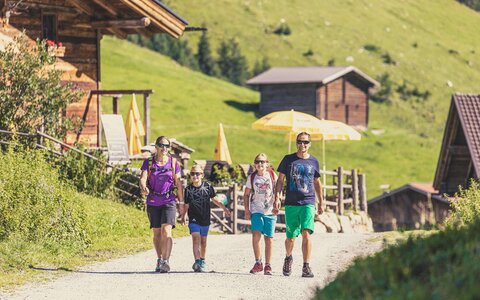
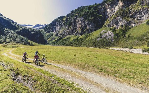
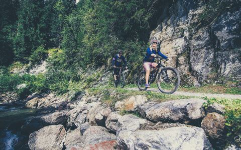
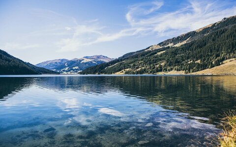
What could be better than exploring the unique and magnificent mountains of Zillertal and Pinzgau on foot? Pack a hearty snack in your rucksack and put on your hiking boots: there are 400 km of hiking trails to explore. Five side valleys stretch out from Gerlos, making hiking a unique experience. During the hikes you will always be accompanied by crystal-clear, quietly babbling brooks all the way to the end of the valley.

Select Filter
Filter


Zell-Gerlos-Königsleiten hiking bus
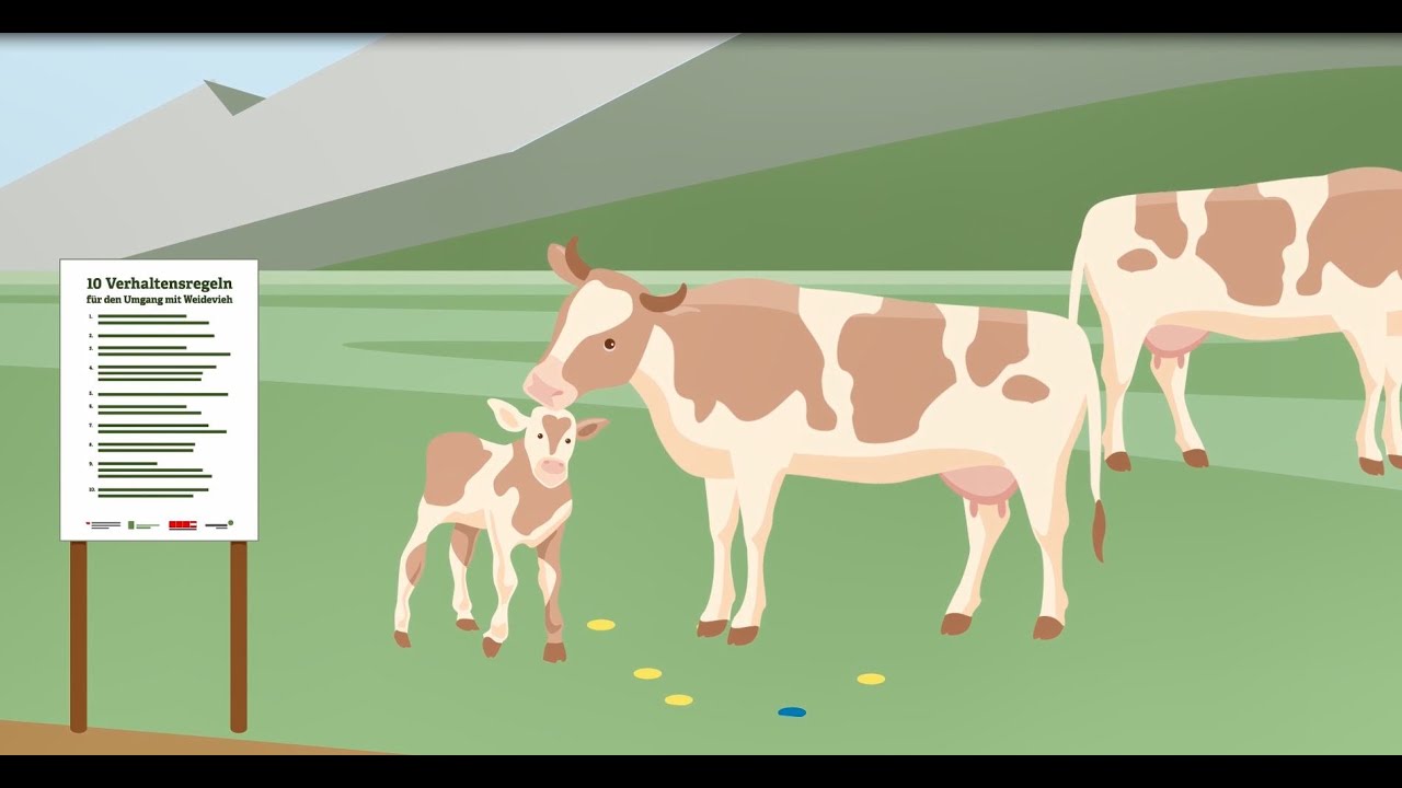
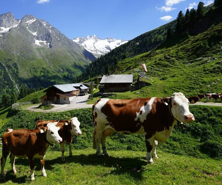
A mountain farm is not a petting zoo