Select Filter
Filter
Activity
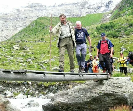
Hiking
Hiking & mountain tour
Winter walking
Trailrunning
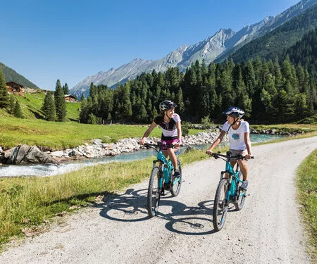
Mountainbike tour
Cycling and mountain biking
e-Bike & Climb
Road bike tour
Tobogganing
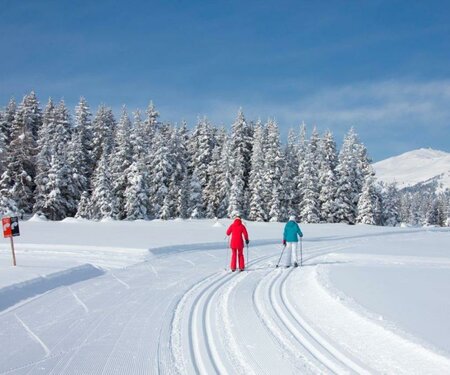
Cross-country ski trail