Select Filter
Filter
Activity
Hiking & mountain tour
Themed walks
Cycling tour
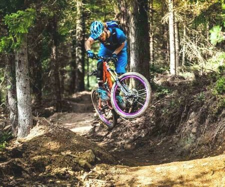
Mountainbike tour
Road bike tour
Singletrail
Nordic walking
Running tracks
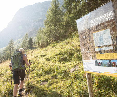
Via ferrata
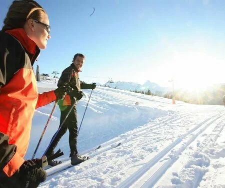
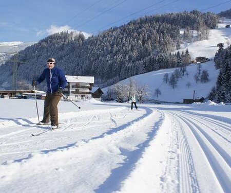
Ski-nordic-classic
Ski-nordic-skating
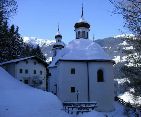
Winter walking
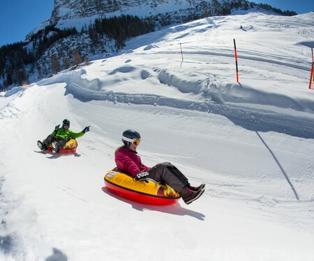
Tobogganing
Family friendly routes
Buggy friendly routes
Zillertal Cable Cars
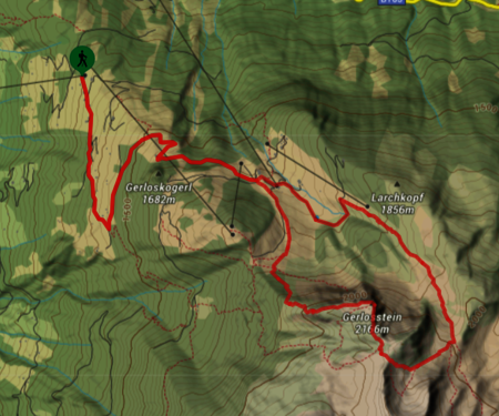
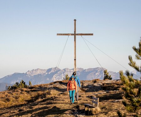
Summit Hikes
Summit tour