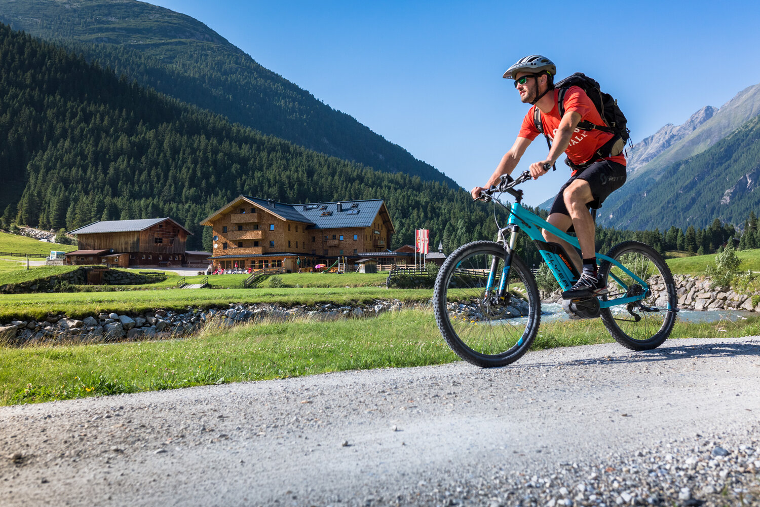
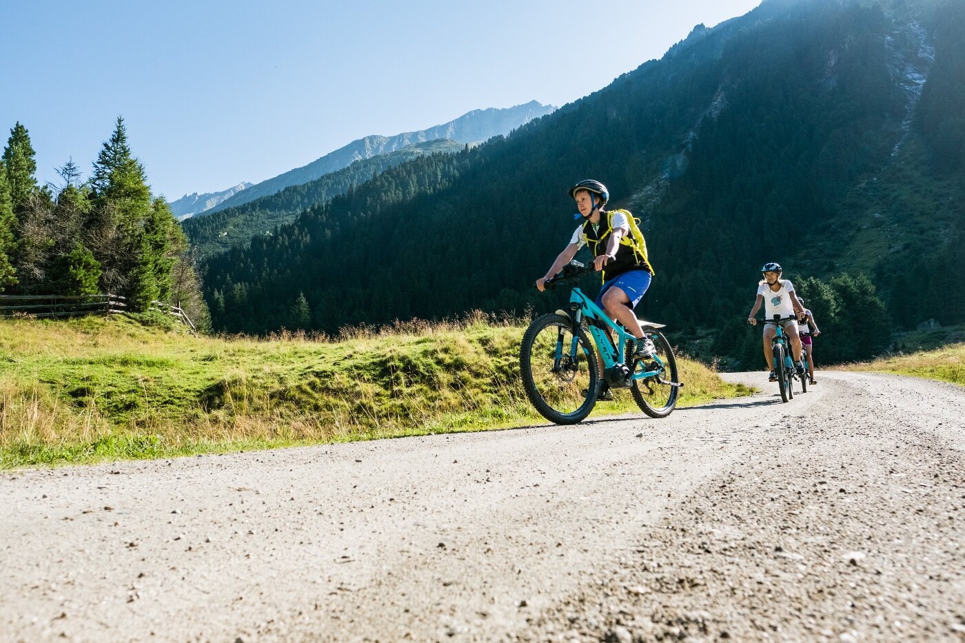
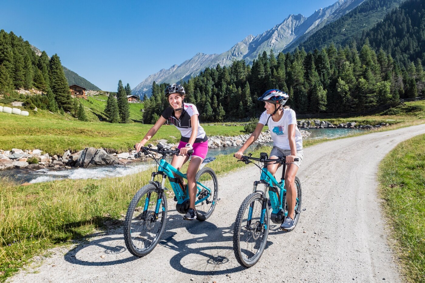
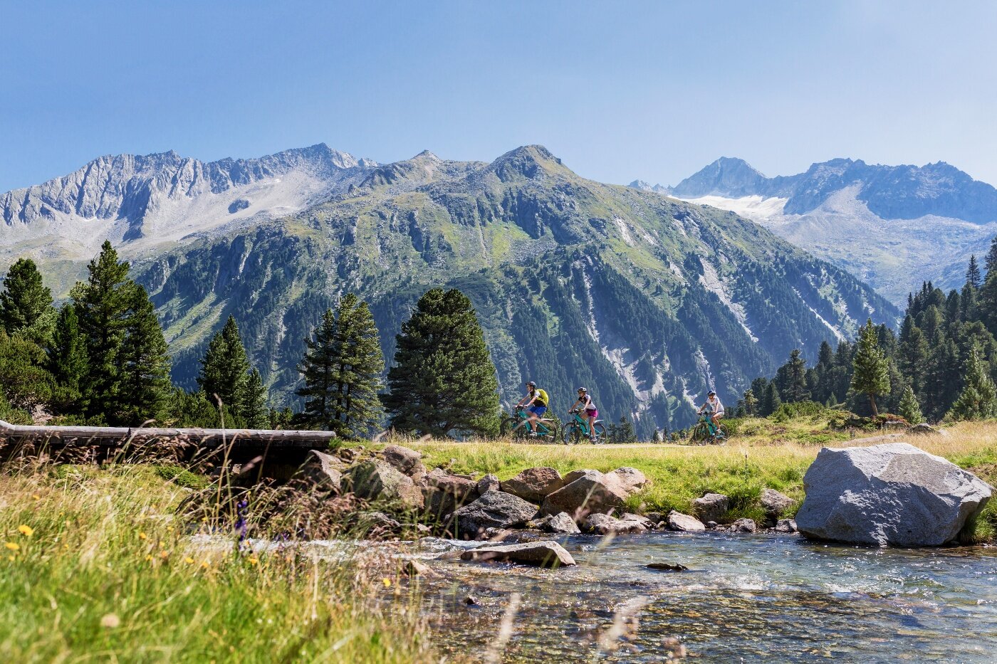
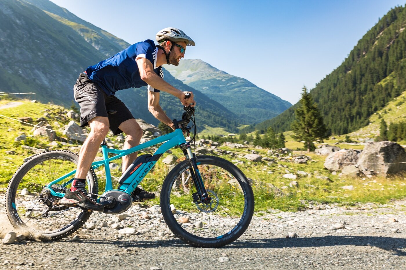
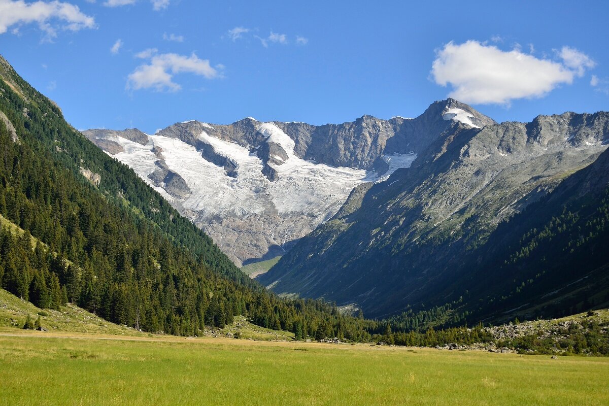
After leaving the village of Krimml towards the Gerlos Alpenstraße, you will reach a junction after about 2.0 km on the left side that leads to the drive path towards Krimmler Achental. Now the ascent follows along the Krimmler Waterfalls to the Anna Tunnel (length 300 m, unlit). From there, a hiking and biking path runs parallel to the Krimmler Ache, past rustic alpine pastures and managed huts, to the valley end. From here you have the option to hike up to the Warnsdorfer Hut or cycle back to the first junction to make a detour (2.5 km) into the Windbach Valley to the eponymous Windbachalm before descending back down the valley to the starting point.
Krimmler Achental
Description
Passing the largest waterfalls in Europe, rustic alpine huts, historic Krimmler Tauernhaus in the beautiful Achental.