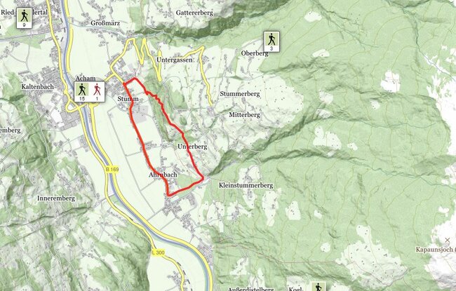
Set off from the municipal office in Stumm and head past the school to the edge of the forest. Turn right at the junction and onto the hiking trail - turn left and head uphill after approx. 400 m – and follow the steeply climbing trail through the forest (Way of the Cross) until it enters the road. Head right when you reach the road – pass
the Bonholz farmstead – and continue following the trail into the forest. Turn left when you reach the garage at the end of the forest. Along the road for approx. 50 m and then head right and downhill. At the road junction in the direction of Distelberg, keep right and follow the track through the forest. Then follow the road back to the
starting point.
stop off possibilities: restaurants in the village
Stumm - Bonholz circular walk