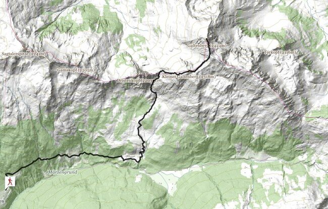
The route is along a short stretch of forest track from the Almluft Alpine café. After crossing the Steinbach (stream) the path leads through meadows to the Hochstadlalm, after which, and after crossing the stream, it forks left uphill and goes through the woods and across high alpine meadows to the Gmünd foresters’ hut. From there the path turns off towards Obweinsalm, which is reached after about 30 minutes walk through glorious meadows.The path then leads through the Obweinsalm meadows to below the Tristenjoch, where it forks to the right and leads over a ridge to the Kleiner Galtenberg. From there the path leads along an extensive saddle to the climb up to the Grosser Galtenberg, from which the views are magnificent. Take the same route for the return journey.
stop off possibilities: Gasthof Almluft
Obweinsalm (1548m) - Großer Galtenberg (2424m) from Almluft Alpine café (Trail no. 38)