

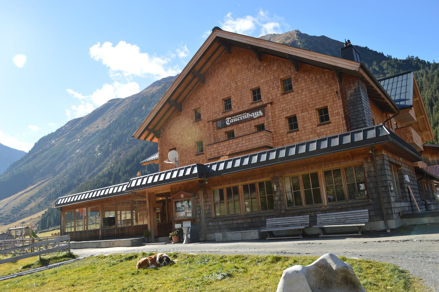
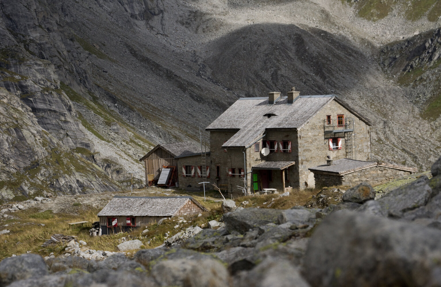
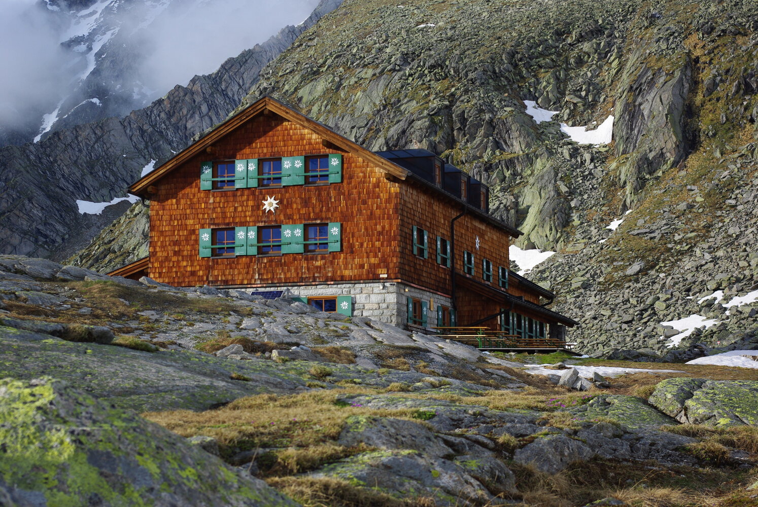
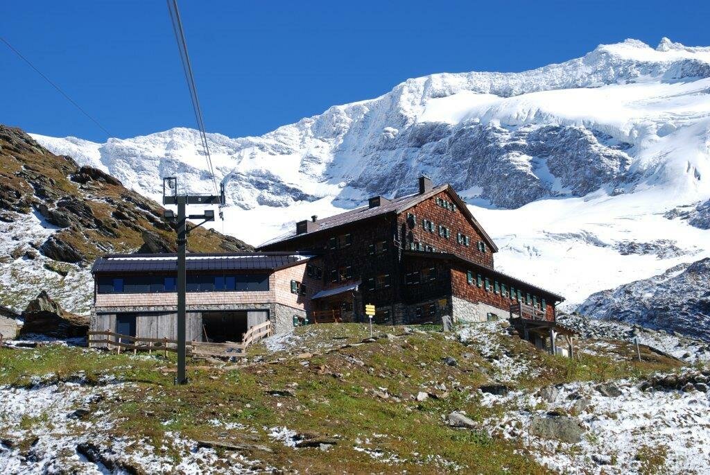
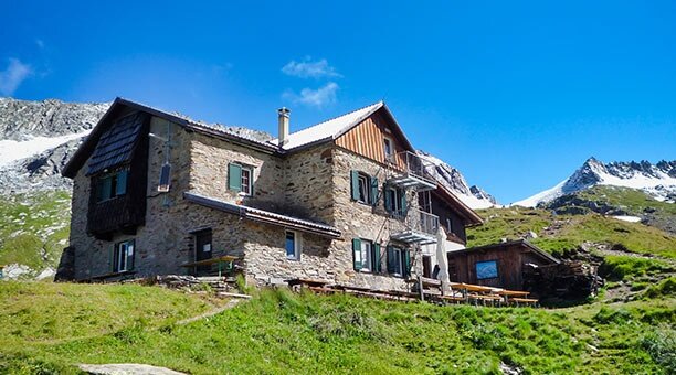
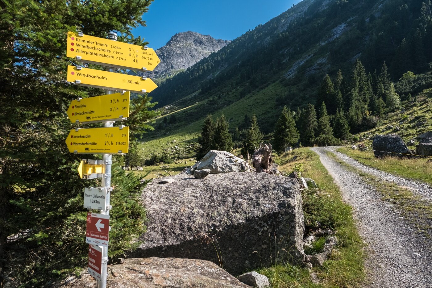
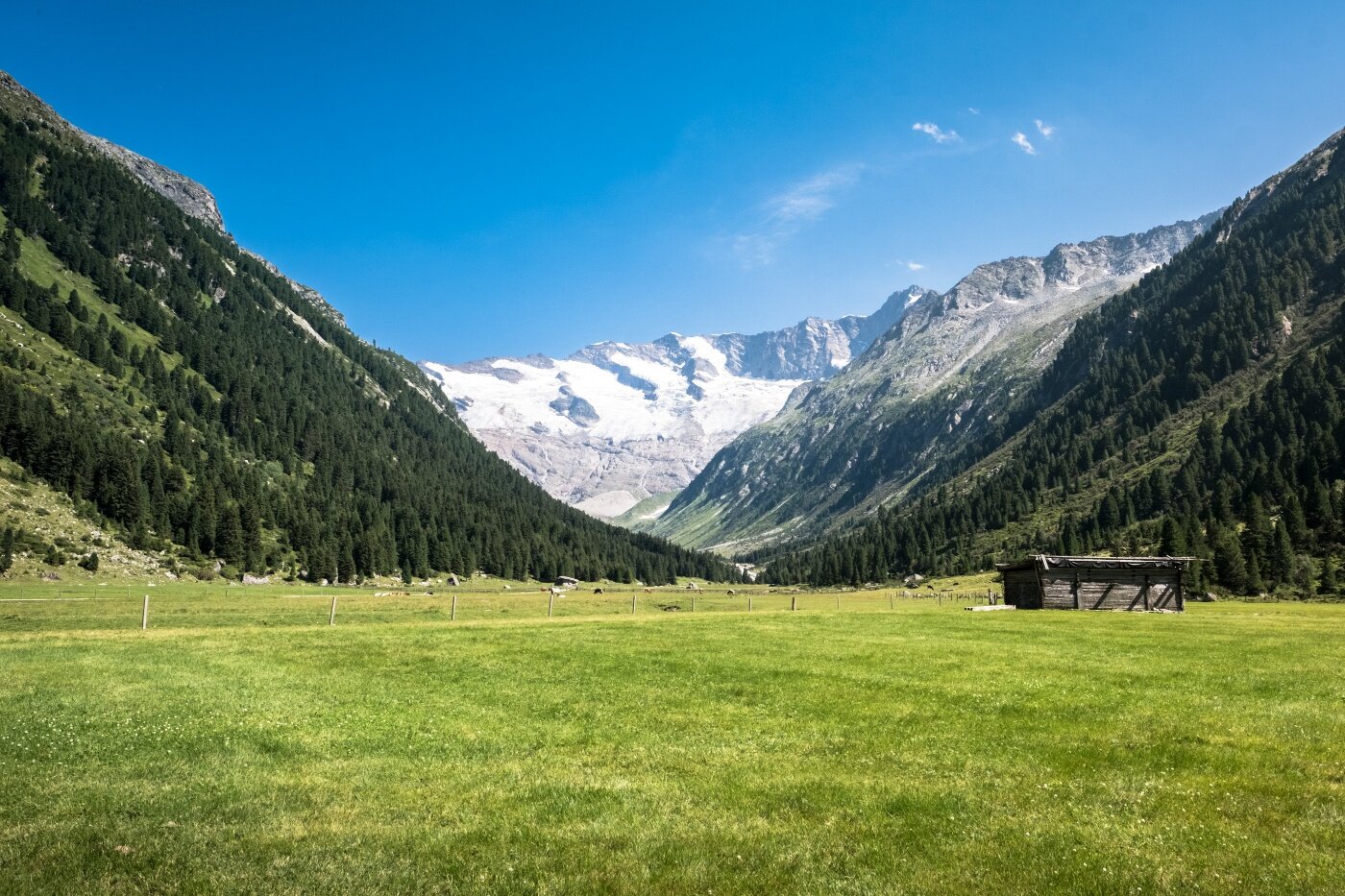
The tour starts at the Tauernhaus in the Krimml Achen Valley. The trail leads over the Rainbachscharte to the Zittauer Hütte in the Wildgerlostal. A beautiful view of the upper and lower Gerlossee awaits you there. Via the Rosskarscharte you then continue to the Richter Hütte. Continue hiking via the Gamsscharte to the Plauener Hütte. Now the path runs in the direction of South Tyrol: Heiliges Geistjöchl/Forcella di Campo. The Lausitzerweg leads you past the Krimmler Tauern over the Teufelsstiege to the Birnlücken Hut. The border back to Austria is passed at the Birnlücke/Forcella del Picco. The Warnsdorfer Hütte with the Eissee lake about 15 minutes away is already back in the Krimmler Achental. Then you hike from here back to the Krimmler Tauernhaus - our starting point.
Dreiländertour am Tauernhauptkamm


Description
In six days, the high alpine circular hike leads through the countries of Salzburg, Tyrol and South Tyrol.