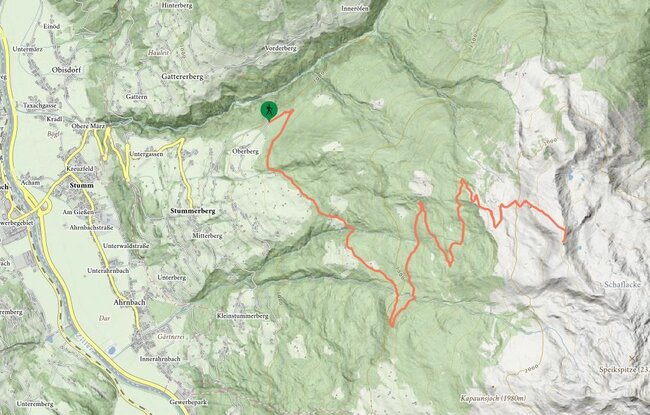
Turn left at the crossroads in front of the Tannenalm (parking area for hikers) to the Märzengrund - the route to the hiking trail/forest trail junction is along a forest road. Turn right there. After crossing the brook, head left and uphill along the hiking trail and continue until the trail reaches the Forest road. After crossing the road,
continue along the hiking trail until it enters the forest road again. Turn left there and stay on the forestry road until the Brunnalm pasture. The path then climbs steeply up from the first high pasture building, and goes through high meadows and fields of rhododendrons to the Schartenjoch. Take the same route for the return journey. Variant for the return leg: climb down from the Schartenjoch to the Triplonalm and walk back to the Tannenalm via the Märzengrund.
stop off possibilities: Gasthof Tannenalm
Brunnalm (1916m) and Schartenjoch (2217m) from the Gasthof Tannenalm (Trail No. 40)