Bike tours in the Zillertal Arena

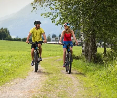
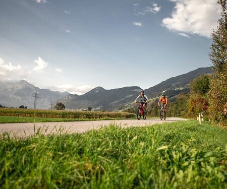
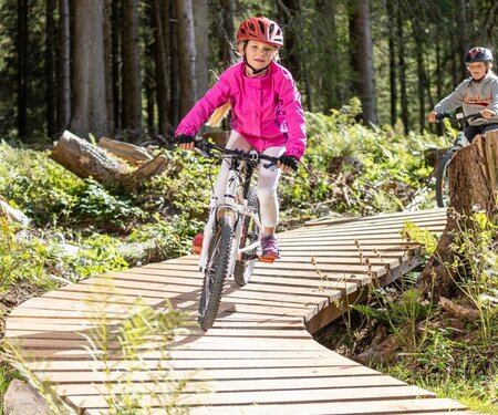
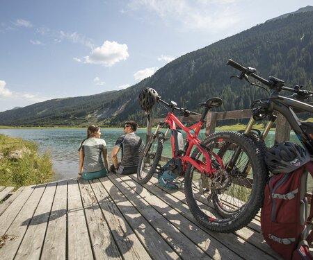
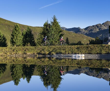
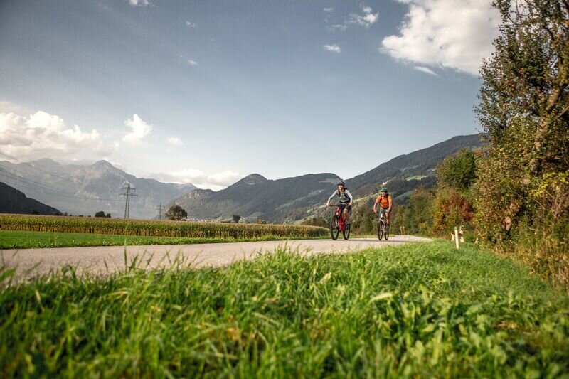
The long network of bike trails through the Zillertal Arena is well developed and offers something to suit everyone – from leisurely valley trails to exciting forest bike trails and single trails with fun factor. E-biking has become increasingly popular in recent years and there is a reason for that: exercise and enjoyment are not a contradiction in terms but go hand in hand with this form of transport.

Kilometres of 
bike routes 
await you
325
Kilometres of
bike routes
await you
Summer cable cars with bike transport
3
Summer cable cars with bike transport
E-bike 
charging stations
17
E-bike
charging stations
Refreshments at huts and mountain inns
40
Refreshments at huts and mountain inns
Single trails 
in Zell and Gerlos
6
Single trails
in Zell and Gerlos
Select Filter
Filter
Activity
Cycling and mountain biking
Cycling tour
Mountainbike tour
Road bike tour
Singletrail
e-Bike & Climb
Starting Point
Arena Center
End Point
Wiesenweg
highest point
1767 m
Route Length
0.25 km
altitude meters uphill
2 hm
altitude meters downhill
34 hm
Difficulty
Middle
Status Open
Starting Point
Wald - village center
End Point
Nadernachtal
highest point
1782 m
Duration
02:30 h
Route Length
15.06 km
altitude meters uphill
928 hm
altitude meters downhill
132 hm
Difficulty
Middle
Starting Point
Bergstation Isskogelbahn
End Point
Wiesenweg
highest point
1837 m
Route Length
0.3 km
altitude meters uphill
9 hm
altitude meters downhill
202 hm
Difficulty
Middle
Status Open
Starting Point
Music pavilion Gerlos
End Point
Music pavilion Gerlos
highest point
1865 m
Route Length
6.5 km
altitude meters uphill
420 hm
altitude meters downhill
420 hm
Difficulty
Hard
Starting Point
Duxeralm
End Point
Duxeralm
highest point
2039 m
Duration
02:30 h
Route Length
28.03 km
altitude meters uphill
1000 hm
altitude meters downhill
1000 hm
Difficulty
Middle
Starting Point
Krimml Tourist Office
End Point
Innerkeesalm
highest point
1848 m
Duration
01:19 h
Route Length
24.66 km
altitude meters uphill
819 hm
altitude meters downhill
93 hm
Difficulty
Middle
Starting Point
Bräueralm
End Point
Bräueralm
highest point
1455 m
Duration
00:45 h
Route Length
10.94 km
altitude meters uphill
46 hm
altitude meters downhill
46 hm
Starting Point
Gasthof Kühle Rast
End Point
Schwarzachalm
highest point
1362 m
Route Length
17.5 km
altitude meters uphill
329 hm
altitude meters downhill
329 hm
Difficulty
Middle
Starting Point
Tourist office Krimml
End Point
Innerkeesalm
highest point
1848 m
Duration
03:00 h
Route Length
20.37 km
altitude meters uphill
819 hm
altitude meters downhill
28 hm
Difficulty
Middle
Starting Point
Centrum / Train Station Zell am Ziller
End Point
Centrum / Train Station Zell am Ziller
highest point
1740 m
Route Length
26 km
altitude meters uphill
1165 hm
altitude meters downhill
1165 hm
Difficulty
Middle

Tip for families

13 Zillertal-Radweg

13 Zillertal-Radweg
Overview

Route Length
30.5 km
Difficulty
Easy
Roundtrip
No
altitude meters uphill
125 hm
altitude meters downhill
20 hm
highest point
630 m

Altitude Profile

Description

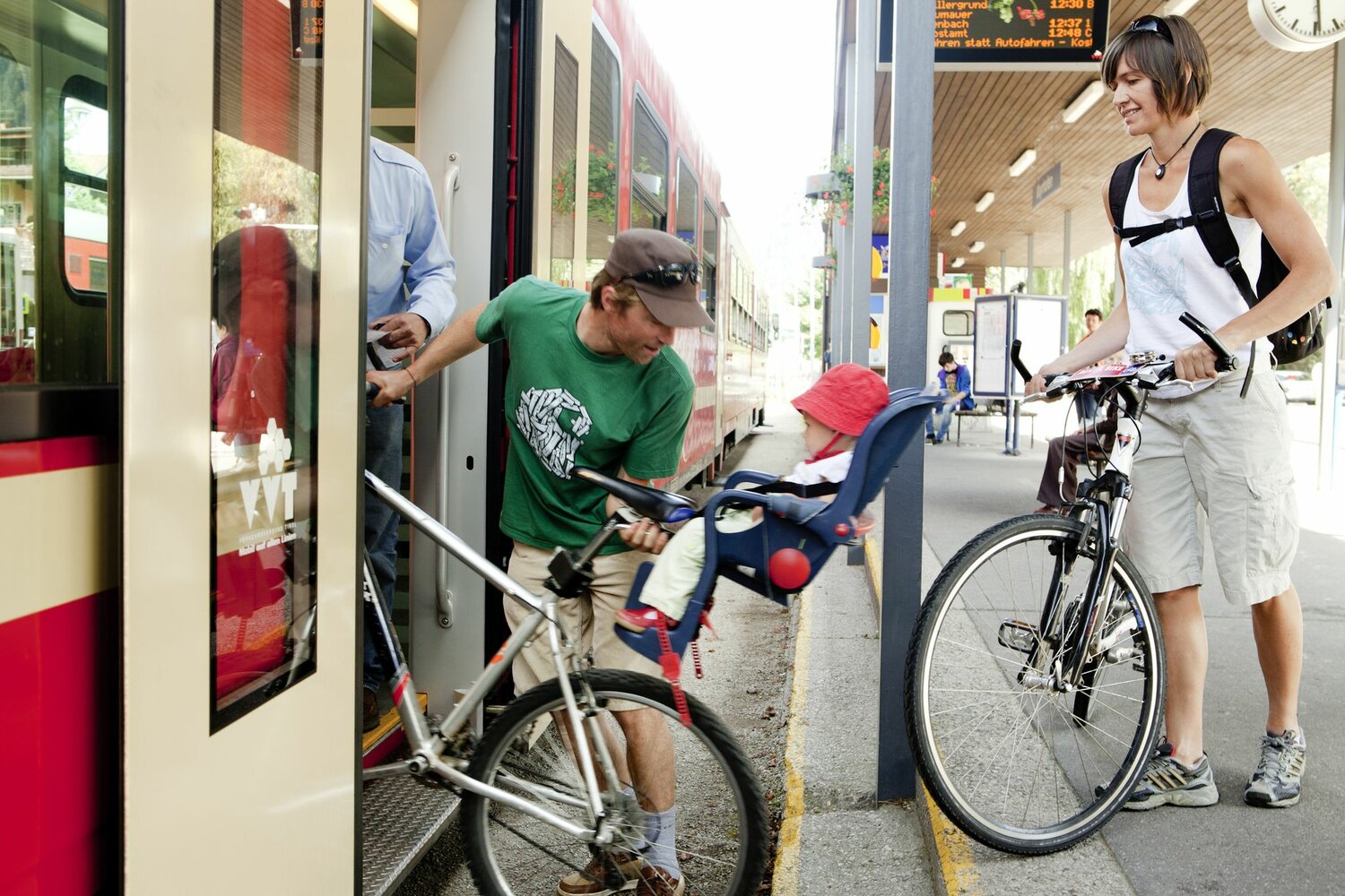
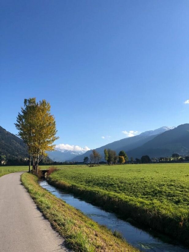
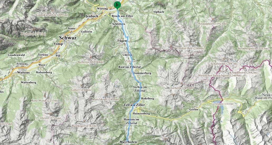
An easy family-friendly route without any steep gradients worth mentioning. Start from Strass on the left bank of the Ziller and continue to Schlitters and along the wide valley floor through Fügen and Uderns to Kaltenbach. After passing under the Zillertal-Bundesstrasse, the well-marked route generally follows the Zillertalbahn railway line. The train company Zillertalbahn offers a bike transport. Bike rental is possible in the bigger train stations as well as in several privat bike rentals in the valley.

Levels of difficulty & rules of conduct

BLUE ROUTE: easy
Family-friendly cycling routes with just slight inclines and no continuous climbs. There is very little traffic on the routes and hazardous spots are clearly pointed out.

RED ROUTE: moderately difficult
Requires sporty riding skills, mountain bike equipment is recommended. Unclear, winding sections, short uphill and downhill sections with gradients up to max. 17%. Motor vehicle traffic must be expected, which may take up the entire width of the road, as well as obstacles such as barriers and ruts. Sections may be closed, for example, for logging work.

BLACK ROUTE: difficult
Demanding MTB route with numerous hazardous moments. The red route’s maximum gradient is exceeded and the route characteristics are even more difficult. MTB equipment is mandatory, the route requires riding with foresight to adapt to the situation.


Rules for unadulterated biking enjoyment

By following these rules, you will get the maximum fun and relaxation out of a mountain bike holiday in the Zillertal Arena and at the same time ensure that our unique mountains are still preserved.

  • Always ride at a controlled speed, keeping the route ahead in sight!
  • Be considerate of hikers and pedestrians and only overtake at walking pace!
  • Note the route’s level of difficulty and accurately assess your own experience and ability as a biker!
  • Do not ride your bike without a helmet! Check your equipment before every bike tour!
  • Barriers are to be respected. Don’t forget, the roads are mainly for agricultural and forestry use. Close the pasture gates!
  • Be considerate of nature and animals and stay on the marked routes.
  • For your own protection and that of the animals: finish your bike tour before dusk!
Browse through the Zillertal Arena
Zillertal Arena Sommer-Magazine
Der Inhalt kann nicht angezeigt werden.
Bitte akzeptieren Sie die Cookies, um den Inhalt zu laden.