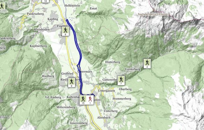
Set off at the Gemeindehaus (village hall) in Stumm and head towards Kaltenbach until you reach the Ziller Promenade. Cross the footbridge to Kaltenbach, turn right as soon as you reach the other side, then follow the signs to Ried-Uderns. Walk along the side of the River Ziller, as far as Uderns, to the Schäffstall bridge. Cross the Schöffstall bridge and then turn right on to the hiking trail heading for Stumm, past the by-pass bridge, and then to the pedestrian bridge to Kaltenbach. There turn left to Stumm.
stop off possibilities: restaurants in the village, Camping Zillerhäusl