High altitude cross country Lackenalm - Issalm - L4

<Overview

🅇
Route Length
03:53 h
Snowed
No
altitude meters uphill
80 hm
highest point
1475 m
🅃
Accessible
No
webx_gs_stamina
pictogram?
webx_gs_skill
pictogram?
webx_gs_public_transport

With the bus 4094 to Gerlos.

Exit point: GH Oberwirt

webx_gs_parking

Parking lot at the entrance to the Schönachtal

Altitude Profile

Weather

weather today
Thick clouds, some rain
weather tomorrow
Rainy weather
Status Closed

Description

Cross country trail closed!

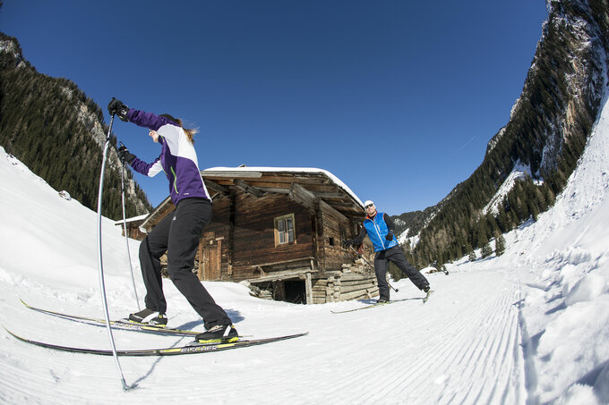
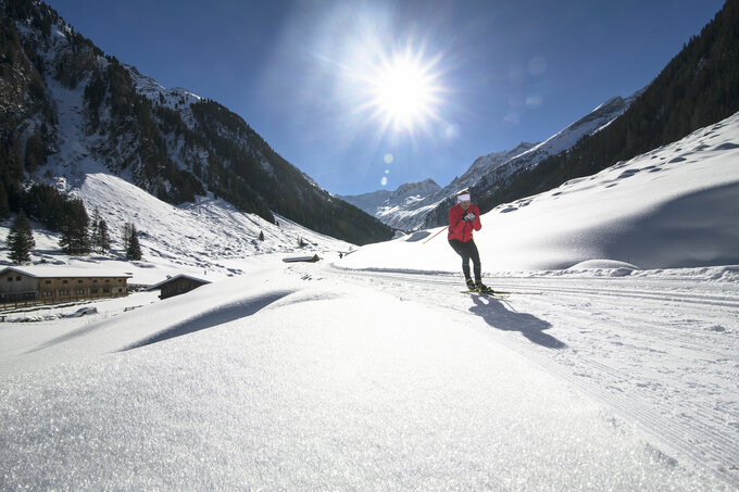
Slightly ascending cross-country skiing track to the idyllically situated Issalm. The track leads from the Lackenalm on the Güterweg path about 2 km slightly uphill to the Issalm, where it ends in the impressive valley head at Isswände. Winter hikers and cross-country skiers share one track, so special care and consideration is required.

Your newsletter

Sign up for our newsletter and receive the best tips every month for the latest offers, ski area, events and much more.

The content cannot be displayed.
Please accept the cookies to load the content.