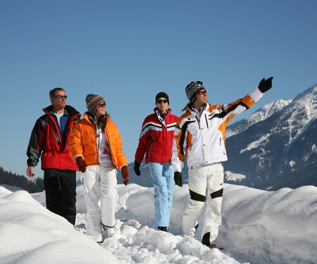
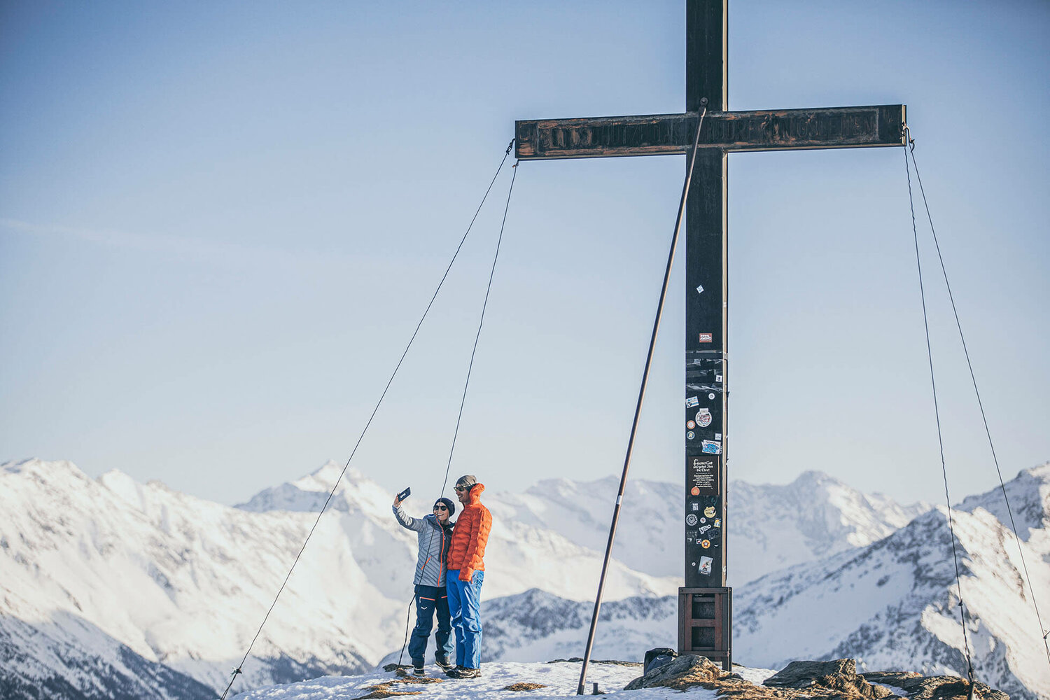
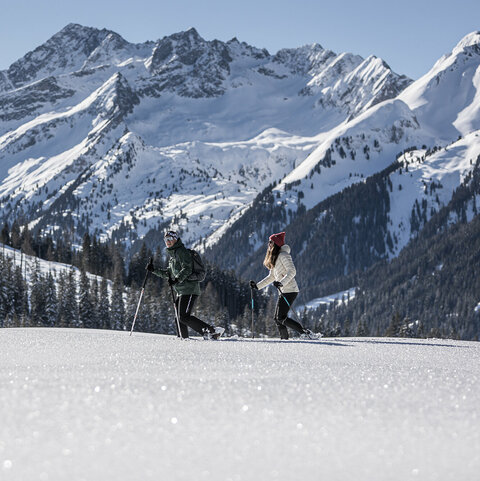
Winter hiking in Wald-Königsleiten

Unwind, enjoy the crisp winter air and soak in the splendour of a fairy-tale landscape: the Hohe Tauern in winter. What could be more relaxing than a romantic winter walk?

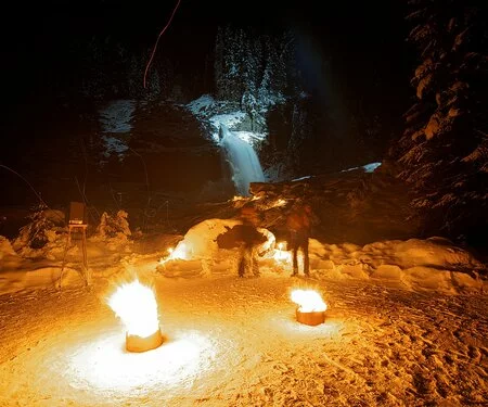
Magical forest walks along the Krimmler Ache river, the Hochkrimmler Panoramaweg panoramic trail or the WalderKrippenweg trail are a joy for all the senses. Discover the sparkling mountain landscape on the Planetenlehrweg “solar system trail” or venture along the shores of Durlaßboden reservoir into the romantic Wildgerlostal valley. And prepare to be awestruck by the wonders of nature on the winter hiking trail to the Krimml Waterfalls.

Select Filter
Filter
Starting Point
Königsleiten
End Point
Filzstein
highest point
1699 m
Walking time
01:30 h
Route Length
5.19 km
altitude meters uphill
191 hm
Difficulty
Middle
Starting Point
Wald
End Point
Krimmler Wasserfälle
highest point
1073 m
Walking time
02:10 h
Route Length
7.92 km
altitude meters uphill
205 hm
Difficulty
Middle
Starting Point
Wald
End Point
Krimml
highest point
1187 m
Walking time
03:22 h
Route Length
9.55 km
altitude meters uphill
568 hm
Difficulty
Middle
Starting Point
Königsleiten
End Point
Ghf. Finkau
highest point
1567 m
Walking time
01:53 h
Route Length
7.13 km
altitude meters uphill
10 hm
Difficulty
Middle
Starting Point
Wald - Ortsmitte
End Point
Schnitzerei Kammerlander
highest point
923 m
Walking time
00:36 h
Route Length
1.92 km
altitude meters uphill
55 hm
Starting Point
Bergstation Dorfbahn Königsleiten
End Point
Bergstation Dorfbahn Königsleiten
highest point
2239 m
Walking time
00:15 h
Route Length
0.74 km
altitude meters uphill
16 hm
Your newsletter

Sign up for our newsletter and receive the best tips every month for the latest offers, ski area, events and much more.

The content cannot be displayed.
Please accept the cookies to load the content.