Wieserwald TRAIL

Overview

Running time
01:25 h
Route Length
6.79 km
Difficulty
Middle
altitude meters uphill
417 hm
altitude meters downhill
417 hm
highest point
1279 m
Route Start

Wald train station

Route End

Wald train station

Altitude Profile

Weather

weather today
14° Sun, clouds, rain showers
weather tomorrow
14° Sun, clouds, rain showers

Description

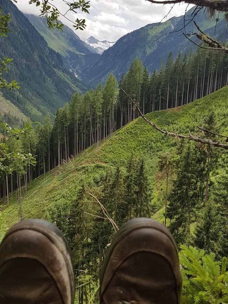
Short trail through shady spruce forests
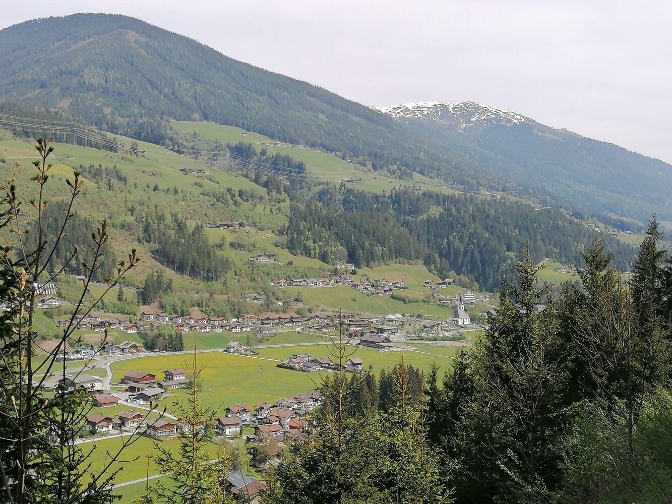
We start steeply uphill from Wald train station along a forest road into the Wieserwald. After some time, turn left at a right-hand curve (signposted Ruine Friedburg) continuing along the forest road. Shortly before the wildlife feeding area, take a great but steep trail downhill to the left towards Friedburg. Once at the bottom, head back towards Wald. 
Der Inhalt kann nicht angezeigt werden.
Bitte akzeptieren Sie die Cookies, um den Inhalt zu laden.