TRAIL Gernkogel

Description
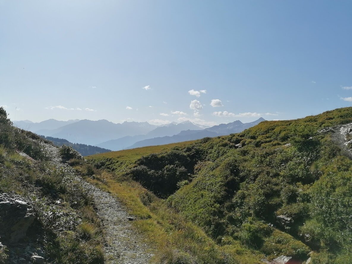
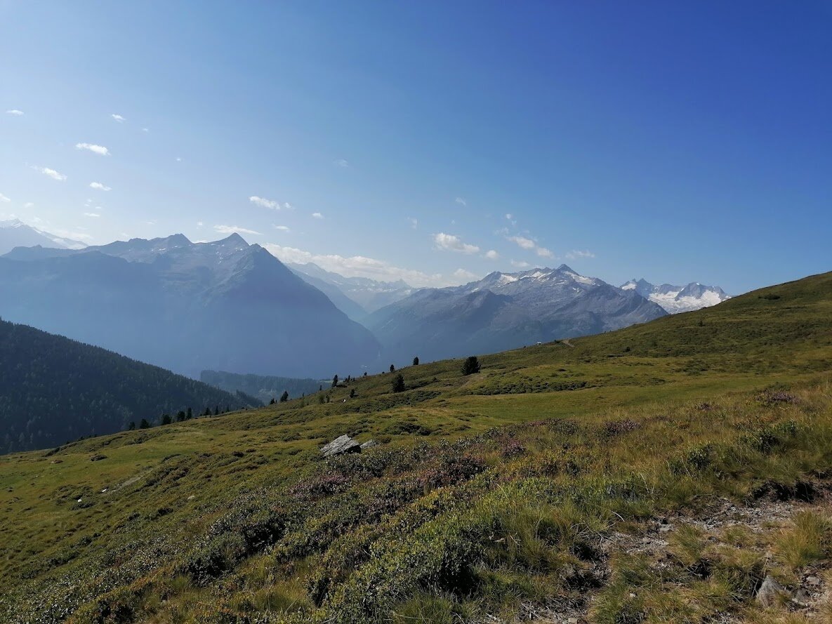
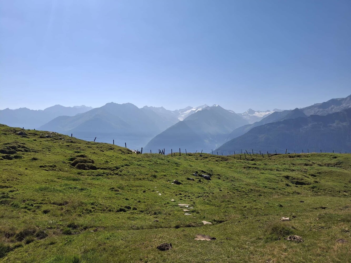
Challenging and promising mountain trail
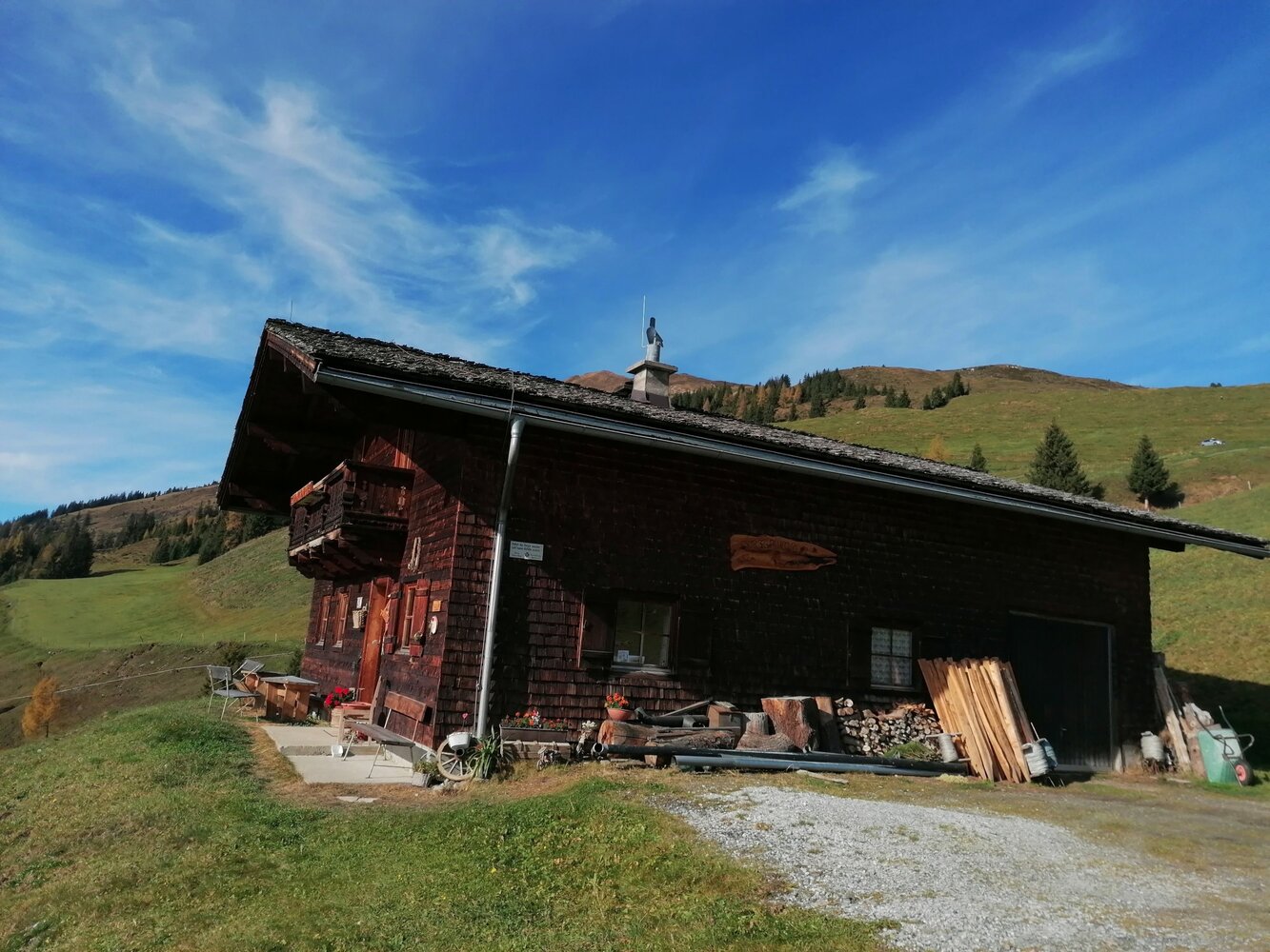
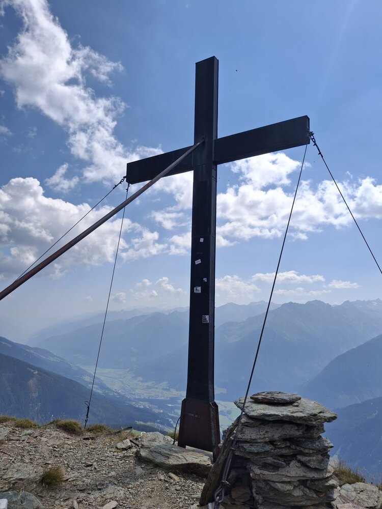
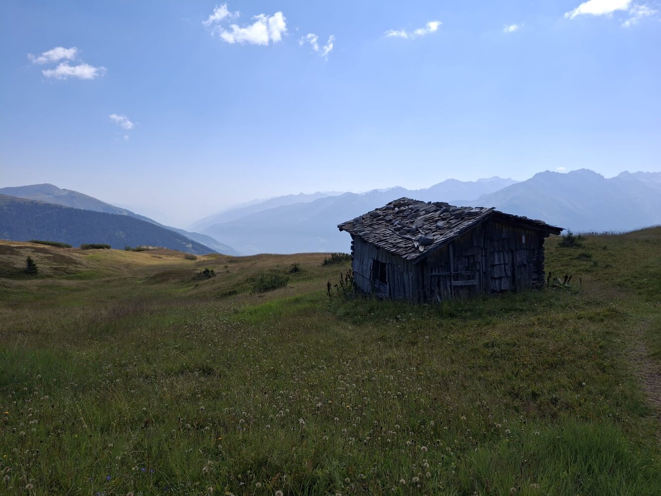
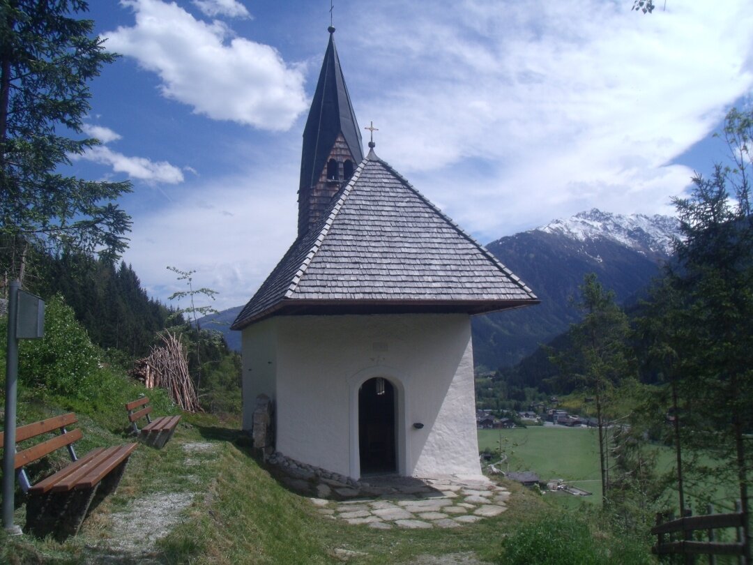
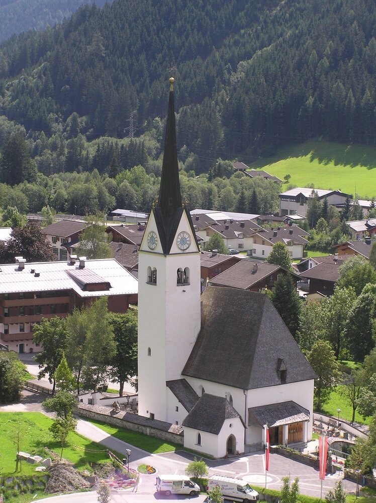
Starting from the Walder parish church, the trail leads over the Stanzenbuehel up to the Ederbauer. Then through a spruce forest to the Wurfgrundalm, where you can refresh yourself at the fountain with cool drinks (for a fee). The trail continues over alpine meadows up to the summit of the Gernkogel at 2,267 meters, where you can enjoy the beautiful panorama of the High Tauern. From here, it's downhill via great trails to the Berger Hochalm towards Reitlastn. The forest roads lead to the Watschbauer and further downhill to the starting point.