Sonnenweg Wald - Neukirchen

Overview

Walking time
00:47 h
Route Length
2.53 km
altitude meters uphill
93 hm
highest point
980 m
Route Start

Forest - village center

Route End

Neukirchen - Gasthof Abelhof

Altitude Profile

Weather

weather today
Sun and clouds
weather tomorrow
Thick clouds, some rain

Description

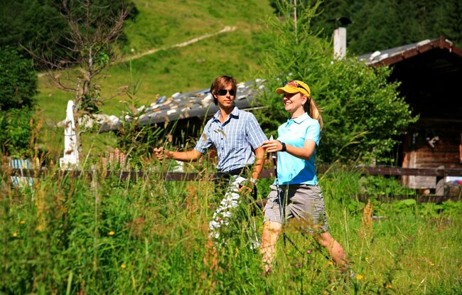
Relaxed hike along the Sonnberg
From Wald village center towards Neukirchen – over the bridge then left uphill – Plenkenhof – turn right 50 m before Plenkenhof – forest path to Hieburg – Ghf. Abelhof
Der Inhalt kann nicht angezeigt werden.
Bitte akzeptieren Sie die Cookies, um den Inhalt zu laden.