Kröndlhorn
Description
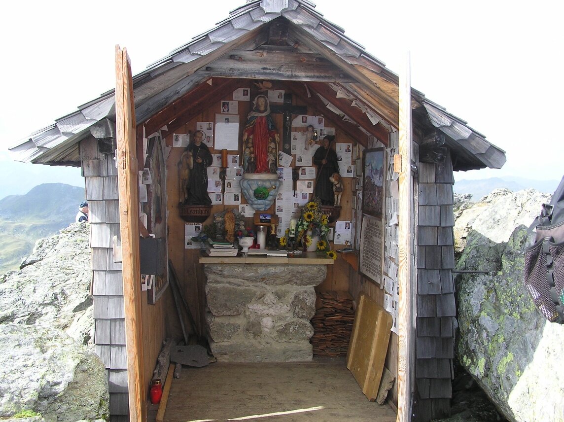
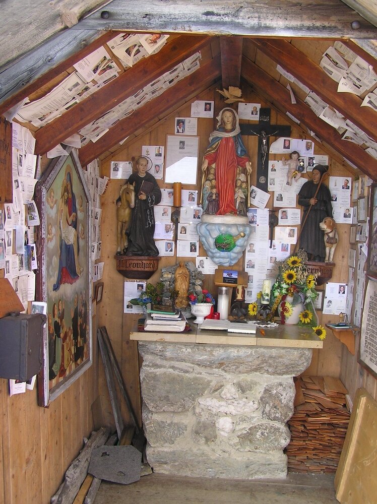
Kröndlhorn is a hidden gem among all mountain lovers. The breathtaking view at the chapel on the summit will literally make your hair stand on end!
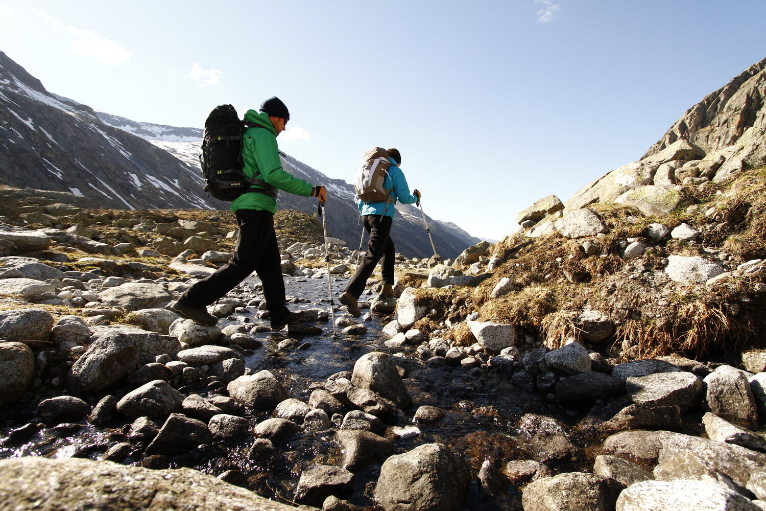
The hiking route starts at the entrance to Nadernachtal near Hotel Ronach up to Watschalm (1,771 m) - from there it goes pleasantly to Watsch-Hochalm. Then steeper uphill over lush alpine meadows following the hiking trail towards the base of Kröndlhorn. Before the final ascent, a small gorge must be crossed (the path leads through a scree field) to reach the goal - the 2,444 m high Kröndlhorn. The breathtaking view at the chapel will literally make your hair stand on end!