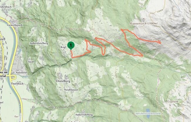
Just below the Talblick café, the steeply rising trail runs along the stream (approx. 20 mins) until it meets the forest trail. Follow the forest trail as far as a closed meadow gate. Cross a meadow and walk between barns as far as a small wooded area. Turn left at the crossroads and then go straight on to the junction with the path to the Kapaunsalm. Now continue uphill to the right as far as the Kapaunsalm.
stop off possibilities: Kapaunsalm, Gasthof Talblick
Kapaunsalm (1911m) from Gasthof Talblick (Trail No. 41)