Bruck - Wiedersberger Horn (2127m) (Trail No. 10)
Description
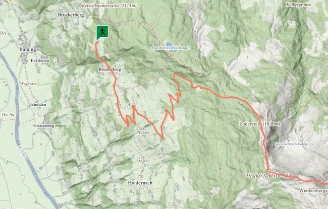
Starting from Steinerhof the trail initially runs gently downhill on the road. At the first junction go uphill. The trail now winds its way via Bichlhof - Niederaigen to the last farmhouses. Shortly afterwards begins the climb to the Luderstein (1839 m) - the path leads via the ridge to the Wiedersberger Horn. Take the same route for the descent.