

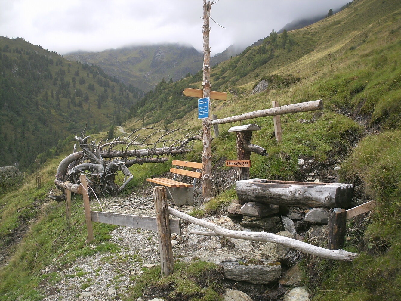
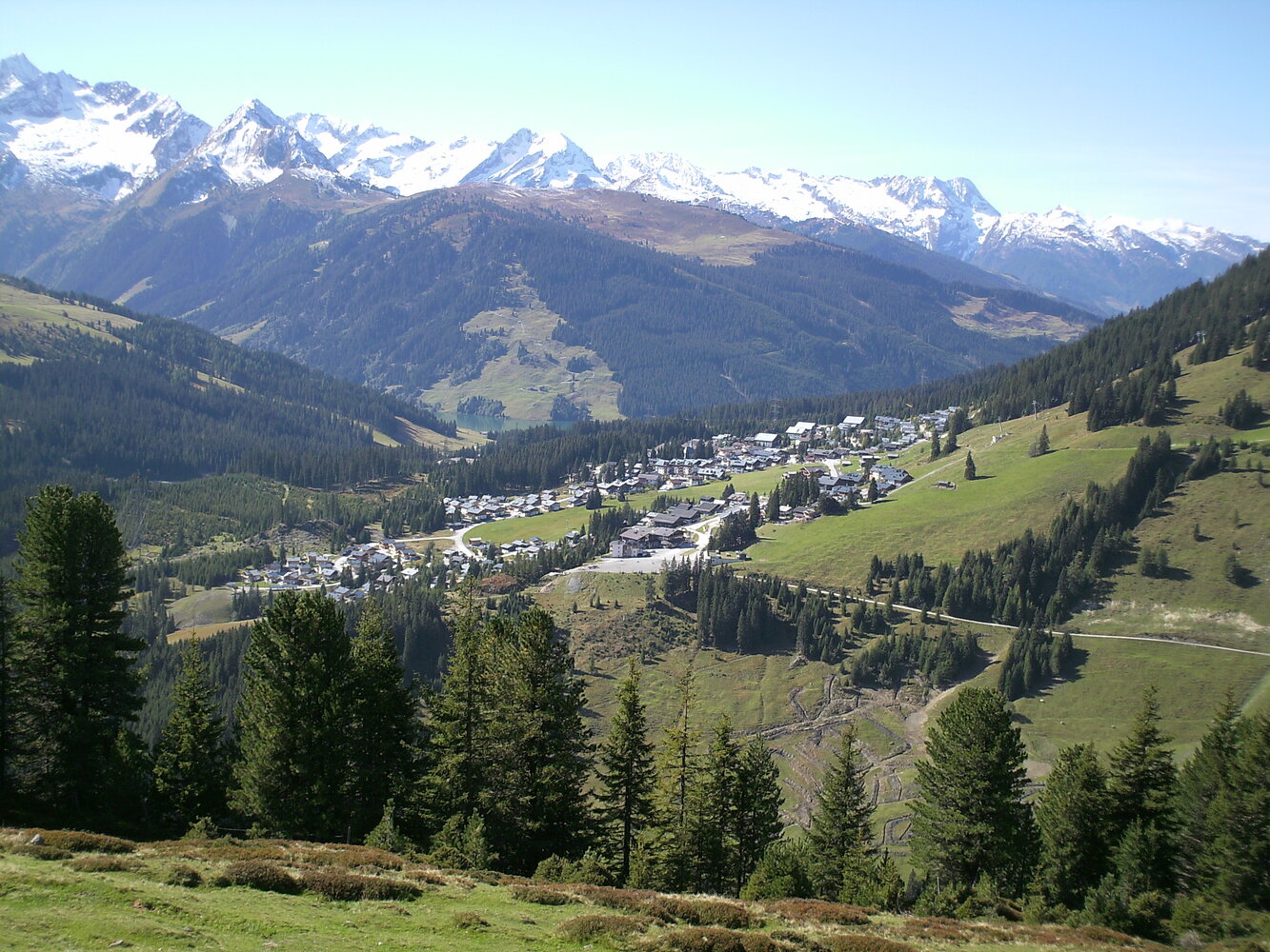
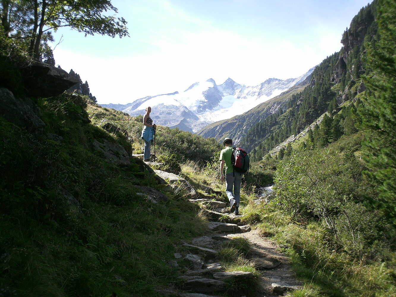
Der Start ist beim Eingang Schranken Salzachtal und von dort führt der Quellenweg ins Salzachtal. Entlang der verschiedenen Stationen wird das Thema WASSER dem Wanderer näher gebracht! Vorbei an der Salzachhütte zur Salzachalm (1.795 m) führt der Rundweg zur Mottland-Grundalm wieder zur Salzachhütte. Weiter talauswärts zum Eingang ins Salzachtal.
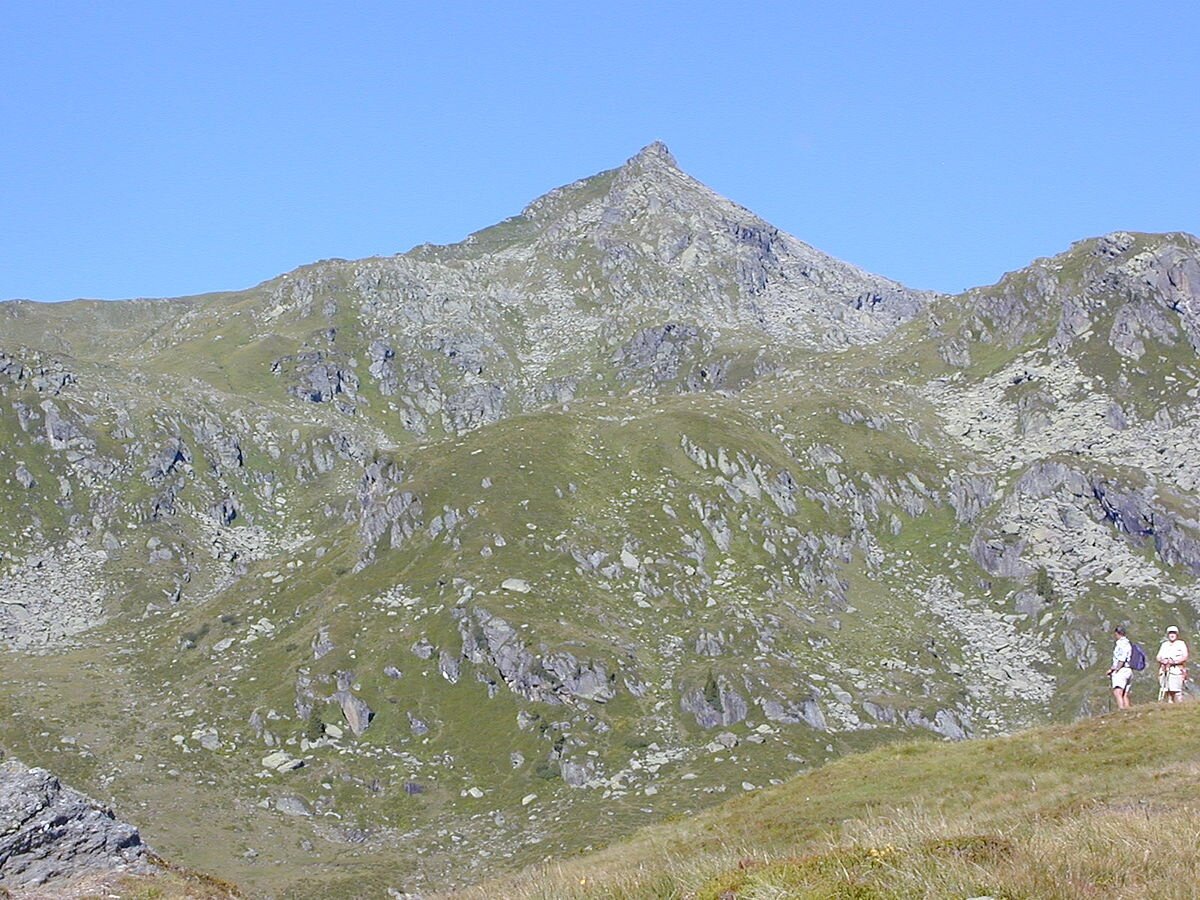
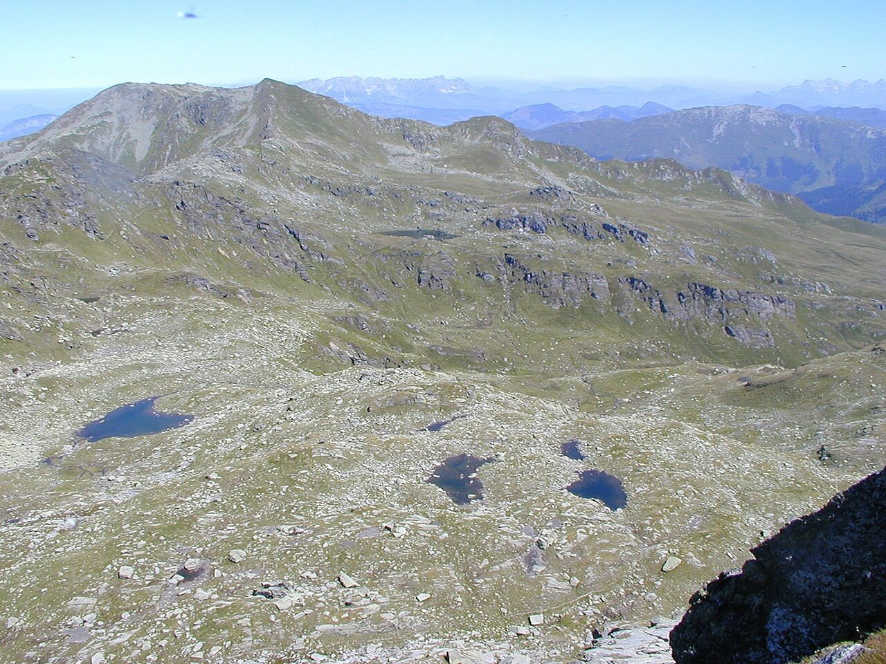
Tipp: Gipfeltour zum 2.466 Meter hohen Salzachgeier - Abzweigung vor dem Markkirchl (ab dort ca. 2 Stunden - schwere Tour)
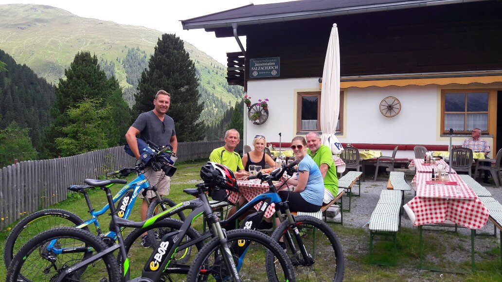
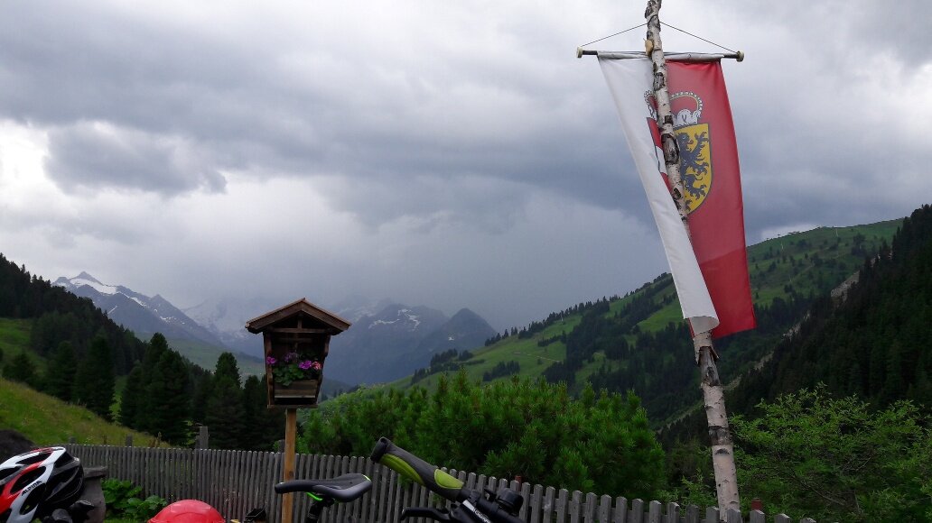
Einkehrmöglichkeit: Salzachhütte