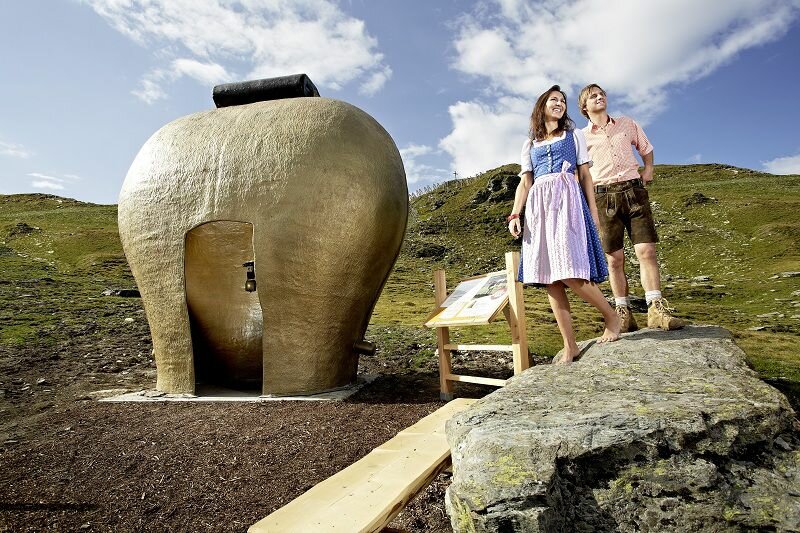
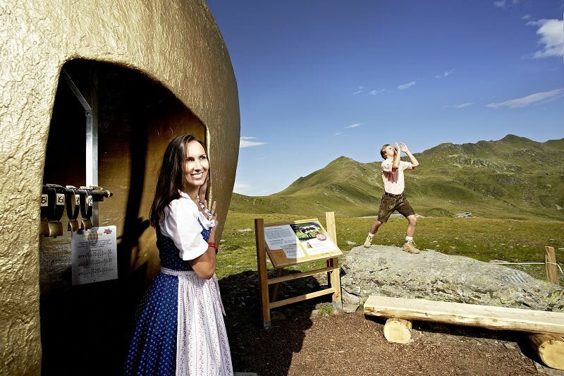
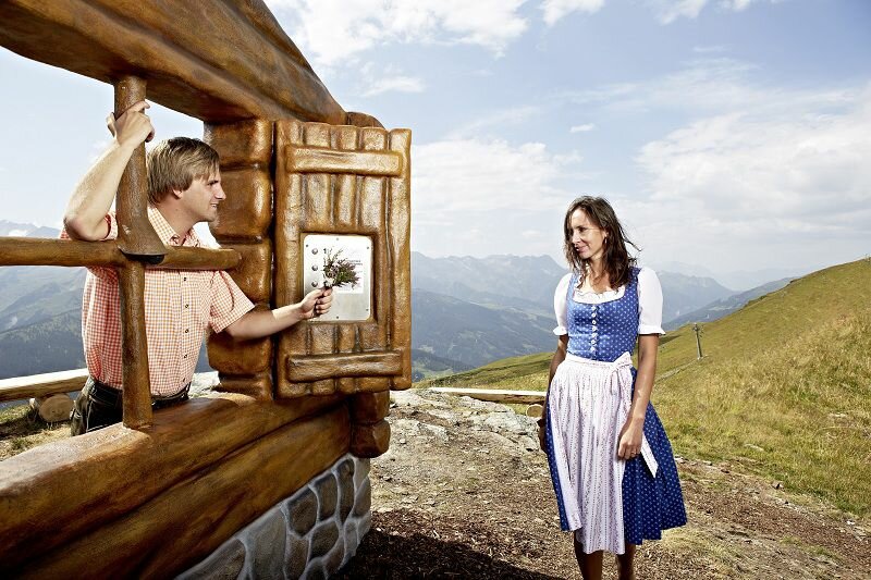
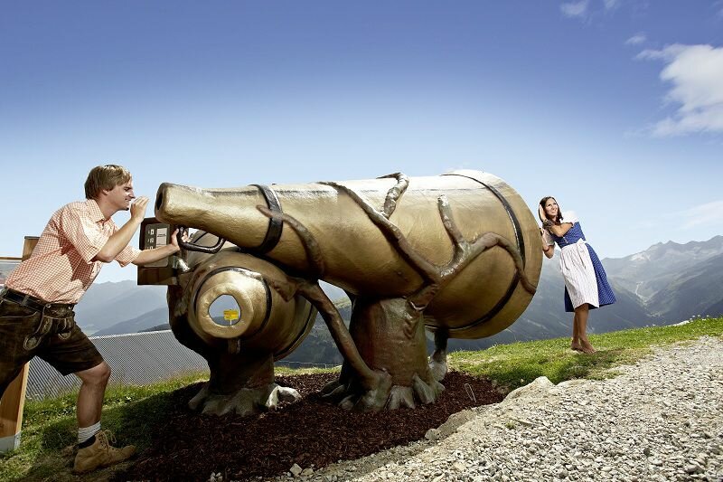
Select Filter
Filter
Activity
Hiking
Hiking & mountain tour
Pilgrimage trail
Themed walks
Nature watch route
Cycling and mountain biking
Cycling tour
Mountainbike tour
Road bike tour
Singletrail
Bike & Hike
Nordic walking
Trailrunning
Running tracks
Swimming
Fun sport
Via ferrata
e-Bike & Climb
Attraction
Wheelchair-accessible hiking trail
Skiresort
Lifts
Slopes
Snow park
Ski-nordic-classic
Ski-nordic-skating
Winter walking
Tobogganing
Bed and breakfast
Apartment
Campsite
Mountain hut
Lifestyle & sports fashion
Station
Parking spot
Cable car
Webcam
Public toilet
Family friendly routes
Buggy friendly routes
Playground
Zillertal Cable Cars
Discount partners
Family friendly bike routes
swimming pools
Summit Hikes
Summit tour
Starting Point
Music Pavilion Gerlos
End Point
Music Pavilion Gerlos
highest point
2003 m
Walking time
05:00 h
Route Length
14 km
altitude meters uphill
802 hm
Difficulty
Middle
Starting Point
Bergstation Isskogelbahn
End Point
Wiesenweg
highest point
1893 m
Route Length
0.4 km
altitude meters uphill
1 hm
altitude meters downhill
431 hm
Status Open
Starting Point
Wald - Ortszentrum
End Point
Krimml
highest point
1071 m
Duration
00:55 h
Route Length
7.76 km
altitude meters uphill
277 hm
altitude meters downhill
85 hm
Difficulty
Middle
Starting Point
Isskogelbahn valley station (1.300m)
End Point
Isskogelbahn valley station (1.300m)
highest point
1948 m
Walking time
04:45 h
Route Length
13.4 km
altitude meters uphill
684 hm
Starting Point
Tourismusbüro Krimml
End Point
Innerkeesalm
highest point
1848 m
Duration
03:00 h
Route Length
20.37 km
altitude meters uphill
819 hm
altitude meters downhill
28 hm
Difficulty
Middle
Your newsletter

Sign up for our newsletter and receive the best tips about the Zillertal Arena, the latest offers, events and much more every month.

Der Inhalt kann nicht angezeigt werden.
Bitte akzeptieren Sie die Cookies, um den Inhalt zu laden.