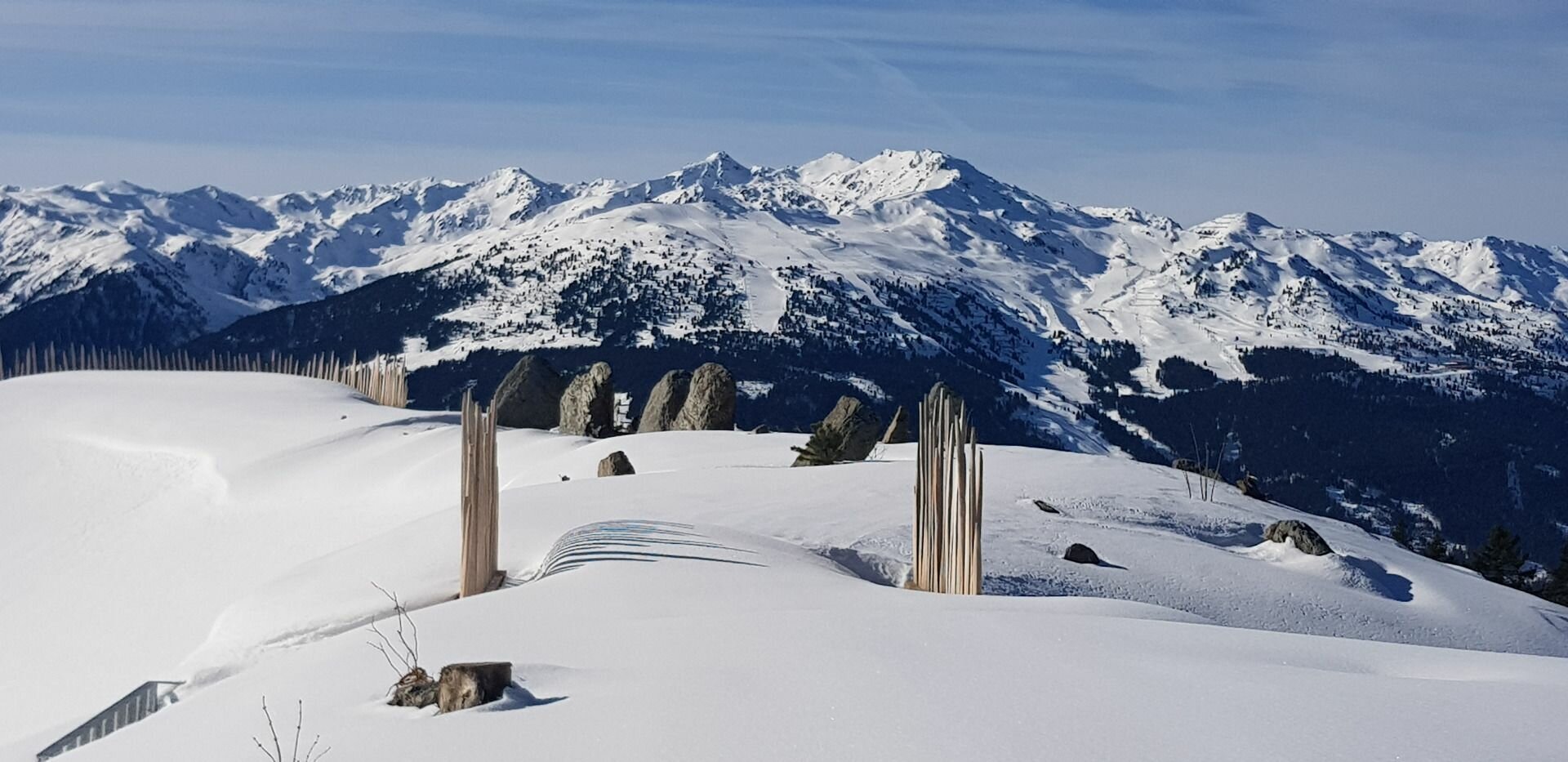
Select Filter
Filter
Activity
Hiking
Hiking & mountain tour
Pilgrimage trail
Themed walks
Cycling and mountain biking
Cycling tour
Mountainbike tour
Road bike tour
Singletrail
Bike & Hike
Nordic walking
Trailrunning
Running tracks
Swimming
Fun sport
Via ferrata
e-Bike & Climb
Attraction
Skiresort
Lifts
Slopes
Snow park
Ski-nordic-classic
Ski-nordic-skating
Winter walking
Tobogganing
Bed and breakfast
Apartment
Campsite
Mountain hut
Lifestyle & sports fashion
Station
Parking spot
Cable car
Webcam
Public toilet
Family friendly routes
Buggy friendly routes
Playground
Zillertal Cable Cars
Discount partners
Family friendly bike routes
swimming pools
Summit Hikes
Summit tour
Starting Point
Gasthof Kühle Rast, Gerlos-Gmünd, Schwarzachtal entrance (1,191 m)
End Point
Gasthof Kühle Rast, Gerlos-Gmünd, Schwarzachtal entrance (1,191 m)
highest point
1363 m
Walking time
01:30 h
Route Length
5 km
altitude meters uphill
165 hm
Starting Point
Krimml
End Point
Mühlbach bei Bramberg
highest point
1070 m
Walking time
06:00 h
Route Length
26.61 km
altitude meters uphill
680 hm
Difficulty
Middle
Starting Point
Bergstation Dorfbahn Königsleiten
End Point
Bergstation Dorfbahn Königsleiten
highest point
2239 m
Walking time
00:15 h
Route Length
0.74 km
altitude meters uphill
16 hm
highest point
2442 m
Walking time
05:00 h
Route Length
7 km
altitude meters uphill
625 hm
Difficulty
Middle
Starting Point
Parkplatz Gerlospass Talstation
End Point
Alpengasthof Finkau
highest point
1470 m
Walking time
01:30 h
Route Length
5.54 km
altitude meters uphill
34 hm
Starting Point
Gasthof Kühle Rast
End Point
Schwarzachalm
highest point
1362 m
Route Length
17.5 km
altitude meters uphill
329 hm
altitude meters downhill
329 hm
Difficulty
Middle
Your newsletter

Sign up for our newsletter and receive the best tips about the Zillertal Arena, the latest offers, events and much more every month.

Der Inhalt kann nicht angezeigt werden.
Bitte akzeptieren Sie die Cookies, um den Inhalt zu laden.