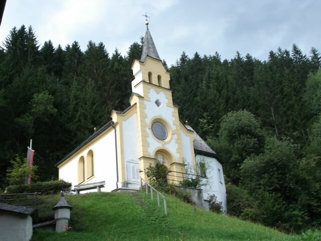
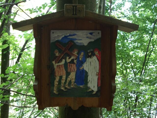
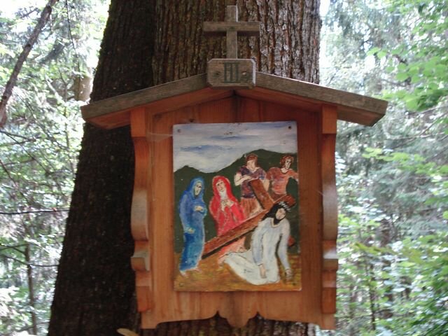
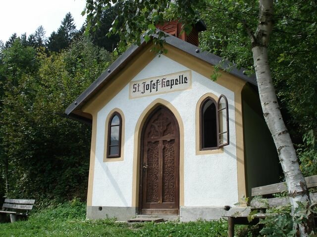
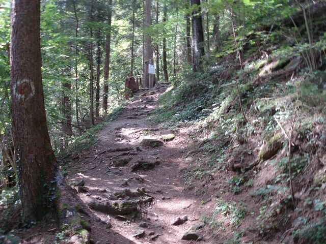
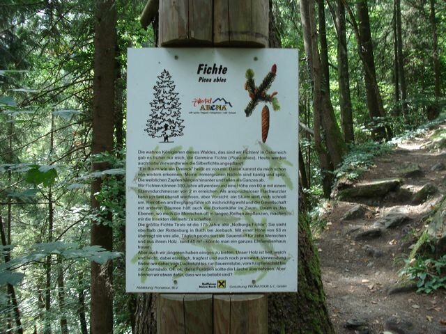
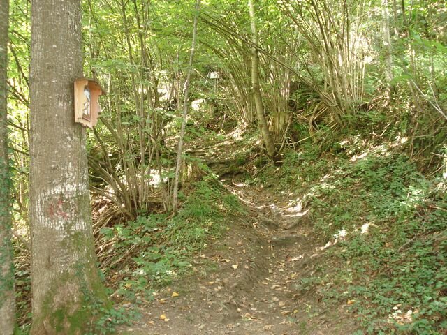
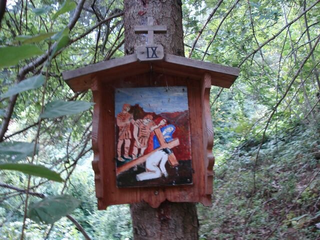
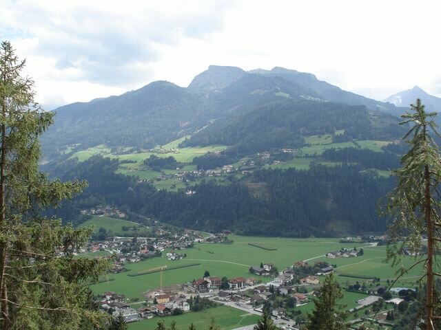
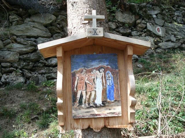
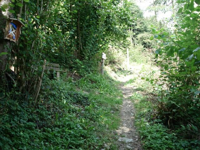
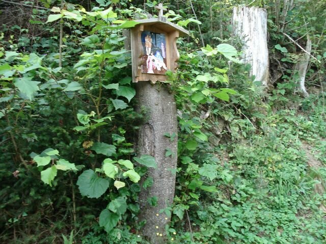
Select Filter
Filter
Activity
Hiking
Hiking & mountain tour
Pilgrimage trail
Themed walks
Cycling and mountain biking
Cycling tour
Mountainbike tour
Road bike tour
Singletrail
Bike & Hike
Nordic walking
Trailrunning
Running tracks
Swimming
Fun sport
Via ferrata
e-Bike & Climb
Attraction
Skiresort
Lifts
Slopes
Snow park
Ski-nordic-classic
Ski-nordic-skating
Winter walking
Tobogganing
Bed and breakfast
Apartment
Campsite
Mountain hut
Lifestyle & sports fashion
Station
Parking spot
Cable car
Webcam
Public toilet
Family friendly routes
Buggy friendly routes
Playground
Zillertal Cable Cars
Discount partners
Family friendly bike routes
swimming pools
Summit Hikes
Summit tour
Starting Point
Tourismusbüro Krimml
End Point
Gletscherblickalm
highest point
1840 m
Duration
00:45 h
Route Length
12.62 km
altitude meters uphill
811 hm
Difficulty
Middle
Starting Point
Zittauer Hütte (2.169m)
End Point
Gerlos (1.300m)
highest point
2800 m
Walking time
07:00 h
Route Length
16.3 km
altitude meters uphill
650 hm
Difficulty
Hard
Starting Point
Parkplatz hinter dem Hotel Ronach
End Point
Ronachgeier/Bartgeier
highest point
2227 m
Walking time
02:54 h
Route Length
6.1 km
altitude meters uphill
782 hm
Difficulty
Middle
Starting Point
Alpengasthof Finkau
End Point
Zittauer Hütte (2.329 m)
highest point
2333 m
Walking time
05:30 h
Route Length
7 km
altitude meters uphill
1033 hm
Difficulty
Middle
Starting Point
Wald - Ortsmitte
End Point
Schnitzerei Kammerlander
highest point
923 m
Walking time
00:36 h
Route Length
1.92 km
altitude meters uphill
55 hm
Starting Point
Gasthof Kühle Rast, Gerlos-Gmünd, Schwarzachtal entrance (1,191 m)
End Point
Gasthof Kühle Rast, Gerlos-Gmünd, Schwarzachtal entrance (1,191 m)
highest point
1363 m
Walking time
01:30 h
Route Length
5 km
altitude meters uphill
165 hm
Your newsletter

Sign up for our newsletter and receive the best tips about the Zillertal Arena, the latest offers, events and much more every month.

The content cannot be displayed.
Please accept the cookies to load the content.