

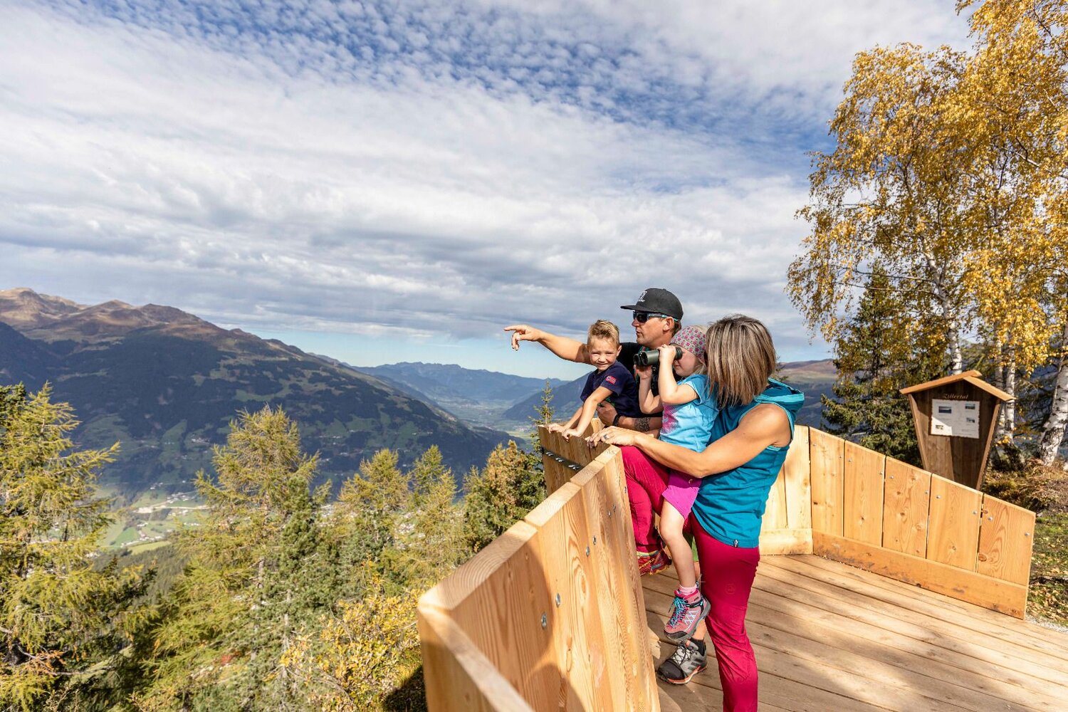
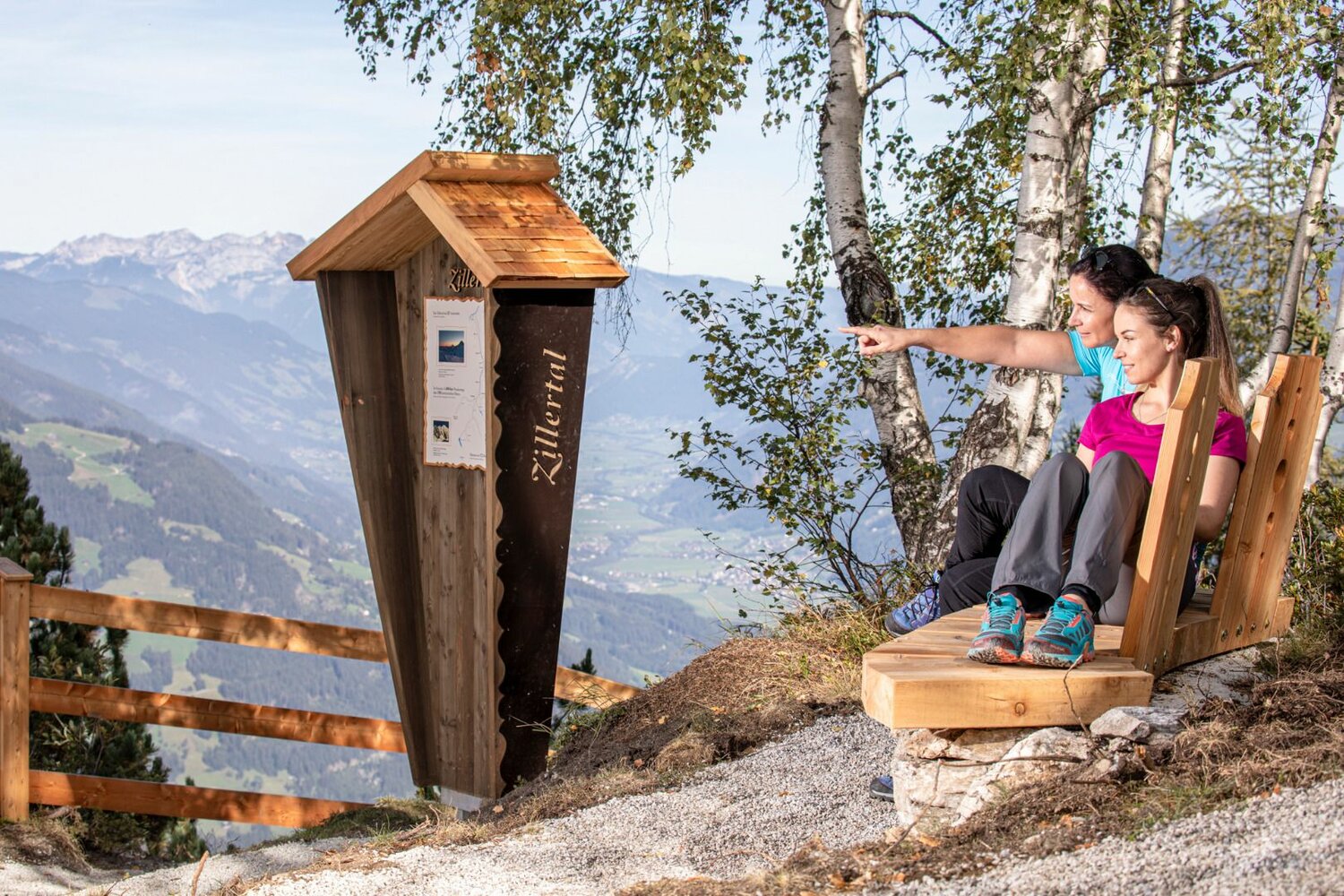
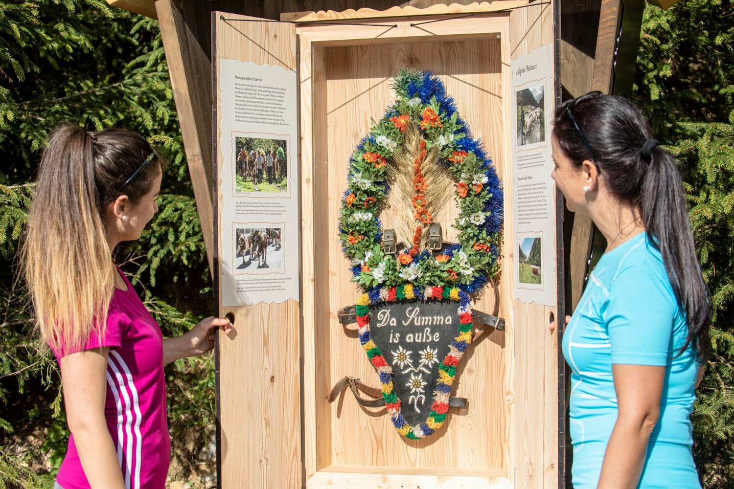
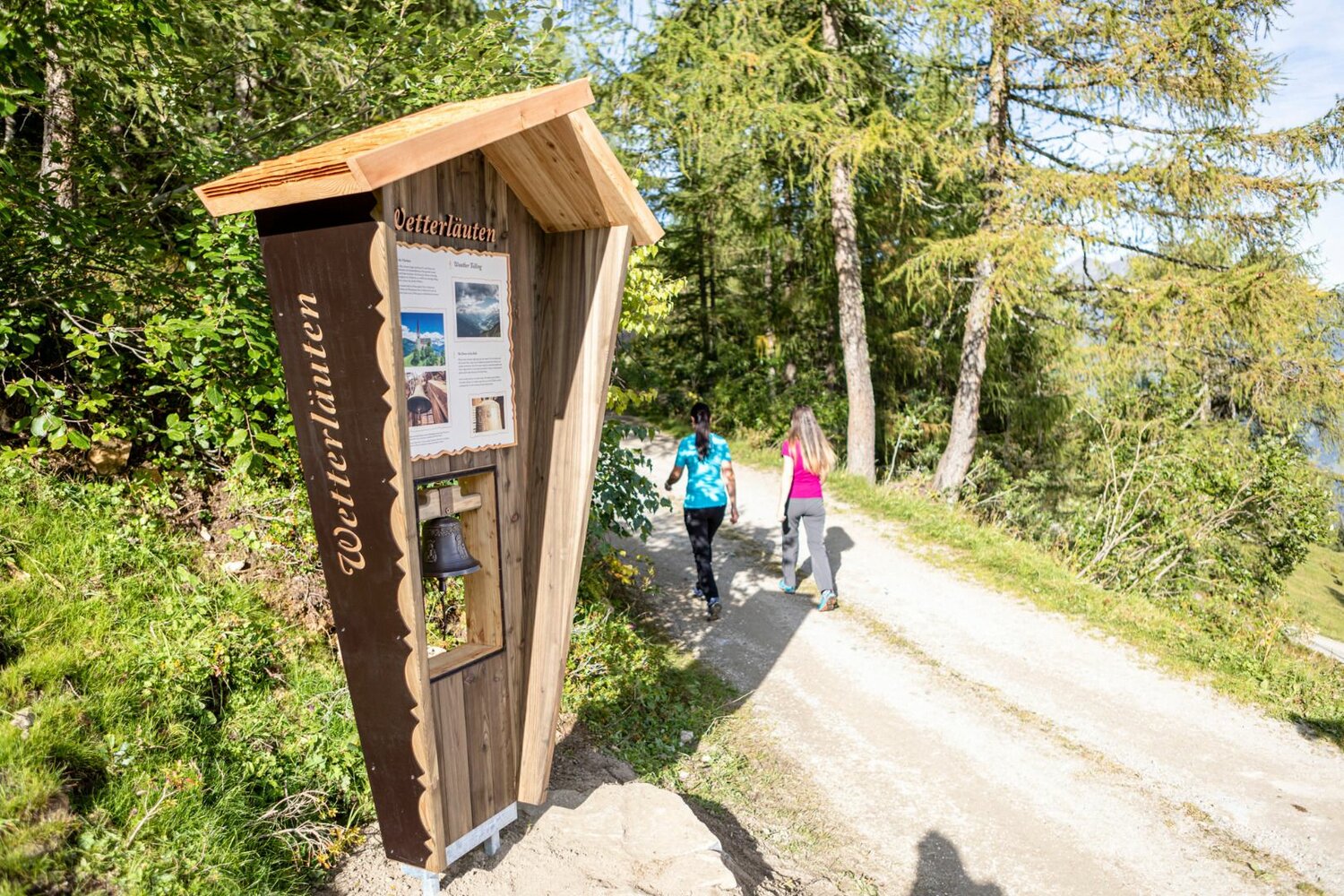
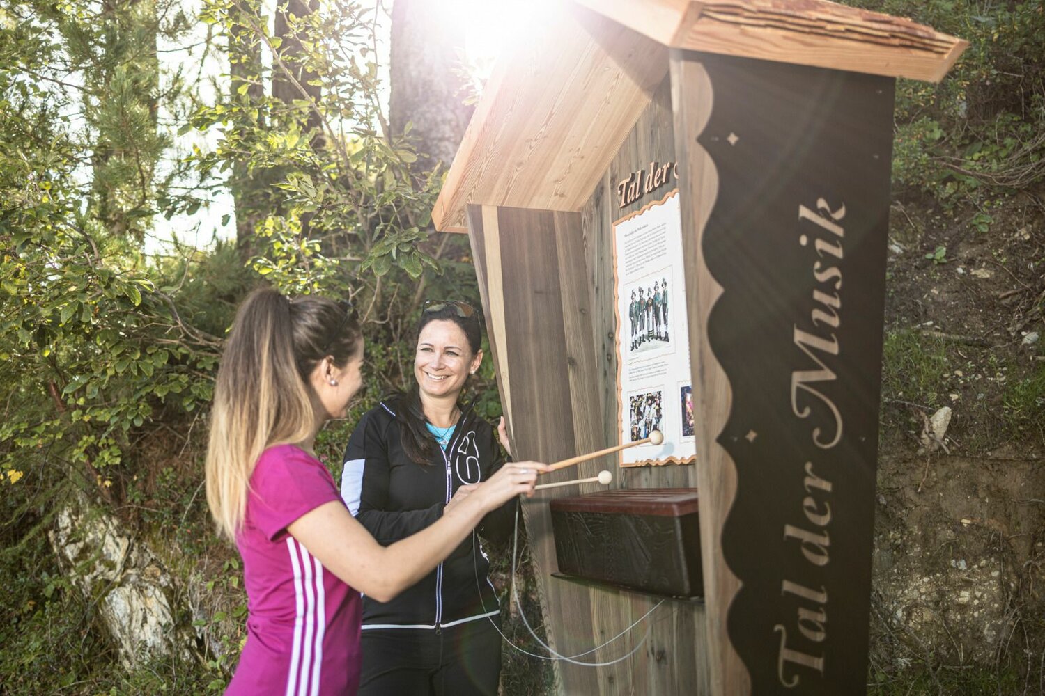
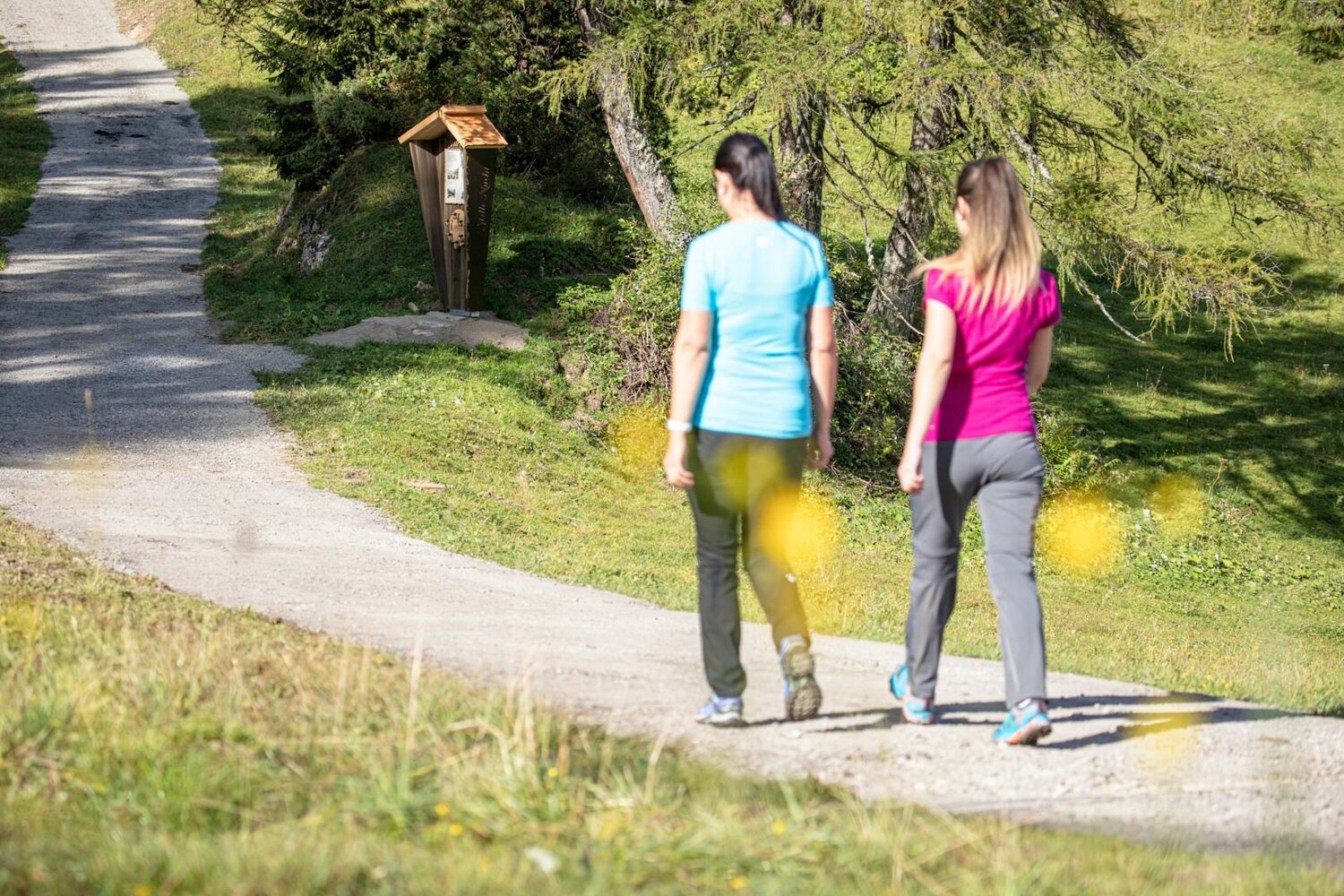

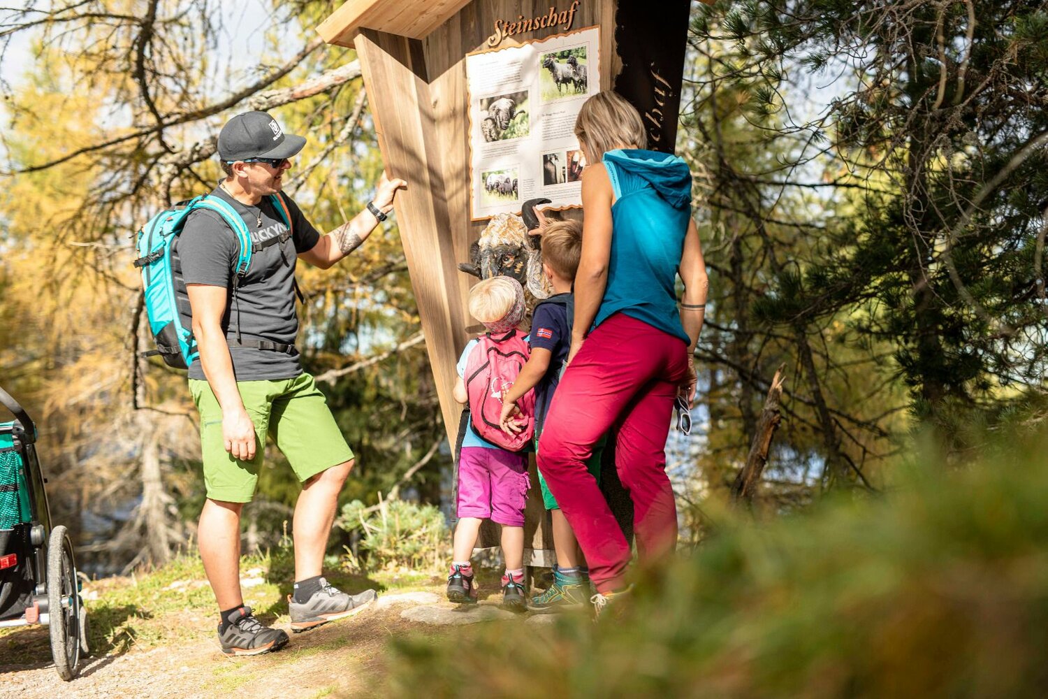

The boards describe the exciting legend of the witch of Gerlosstein for example; you learn what an alpine sheep has to do with the Zillertal “Doggln”, and it becomes clear why music has always played a very important role in the longest Tyrolean side valley. Many interactive elements make the trail exciting for children, meaning that even the youngest mountain enthusiasts will easily manage the approx. one hour hike.
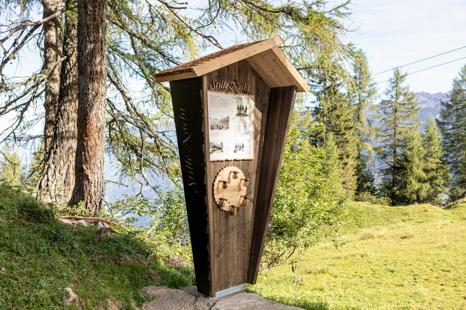
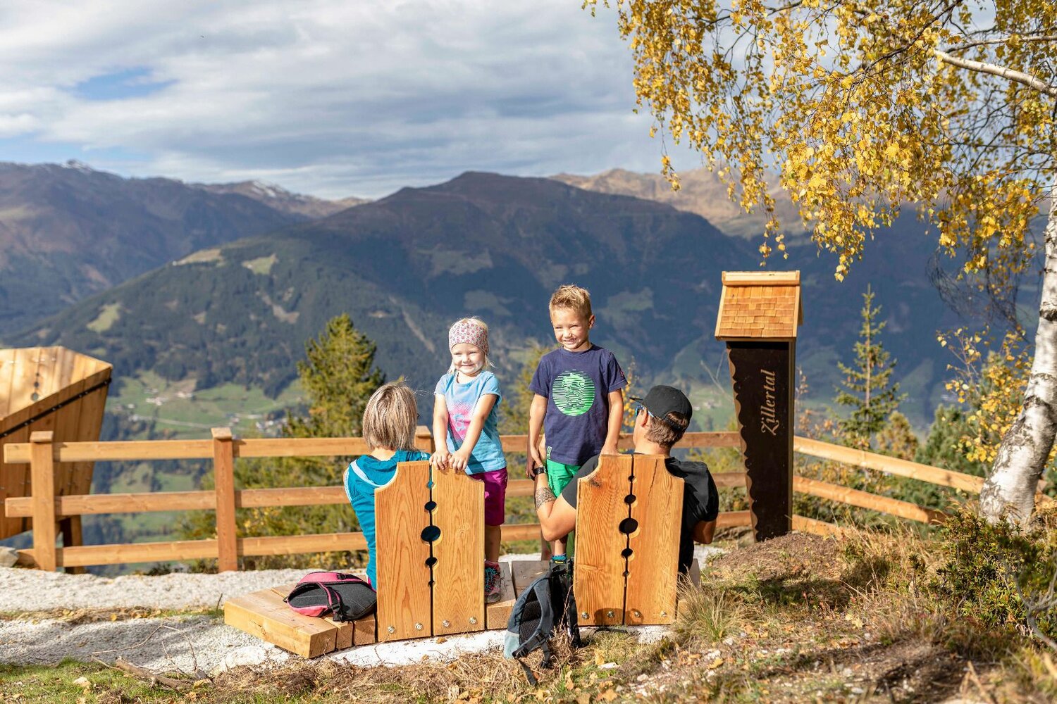
Tip: why not play the world-famous Christmas song “Silent night, holy night” on the bells or turn the horn of the alpine sheep and see what happens! At the end of the Almpromenade you are rewarded with a fabulous view across the surrounding mountain landscape on the Almtribüne, the best spot to enjoy the Zillertal.