


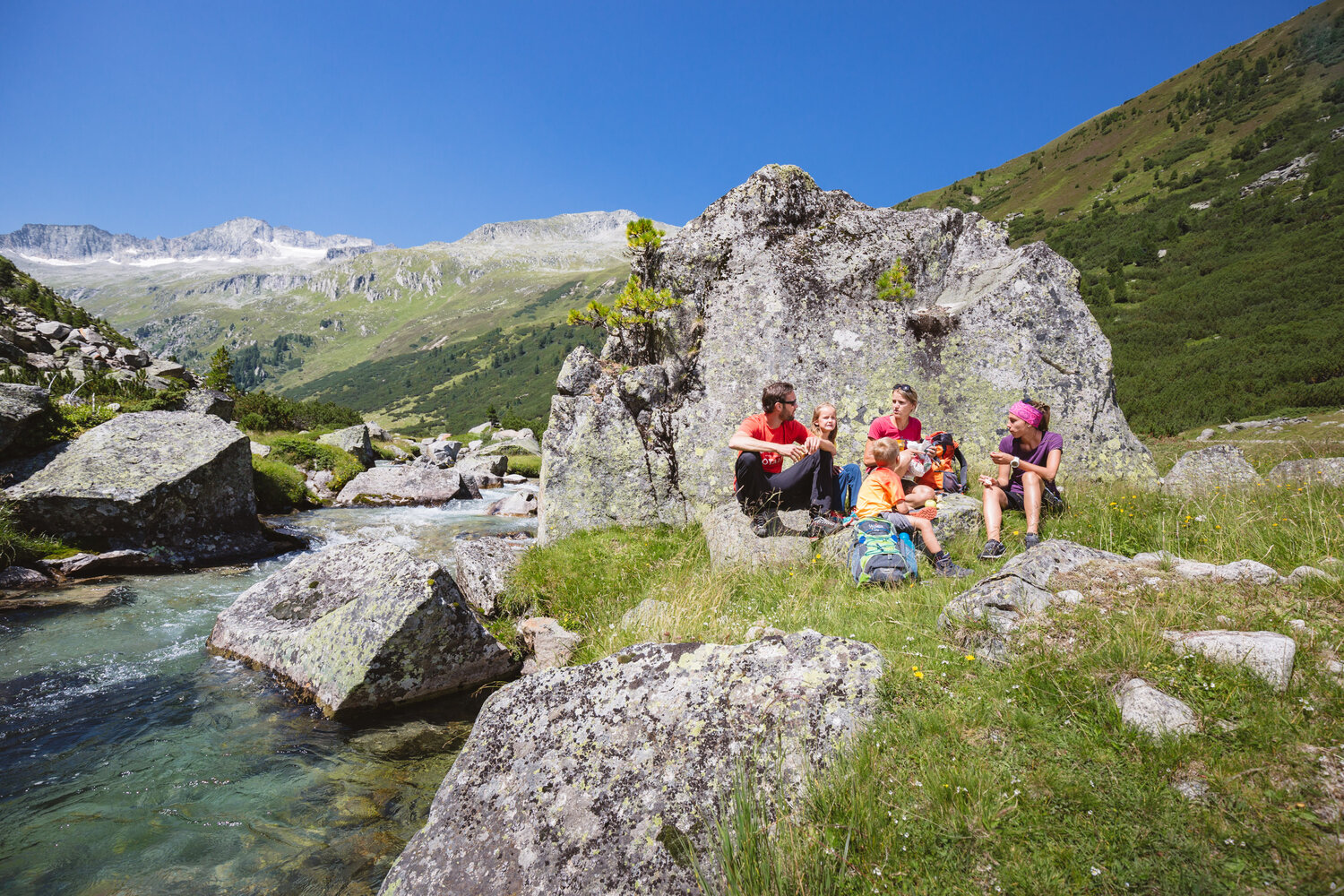

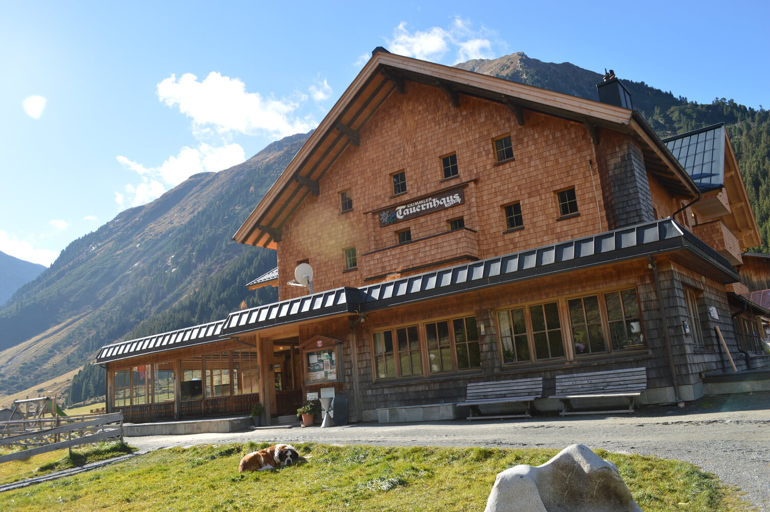
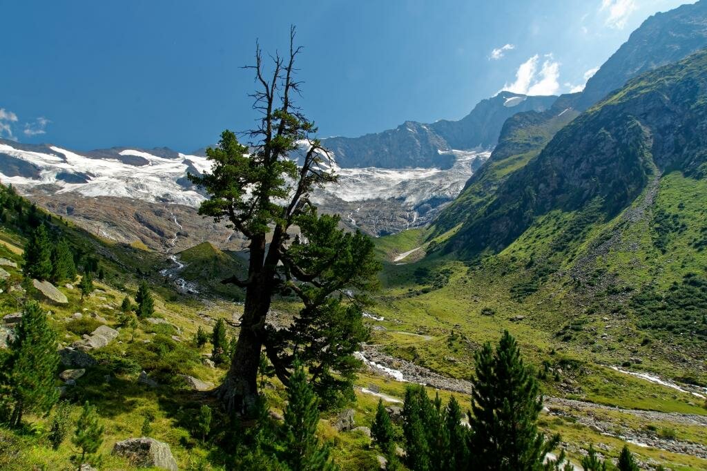
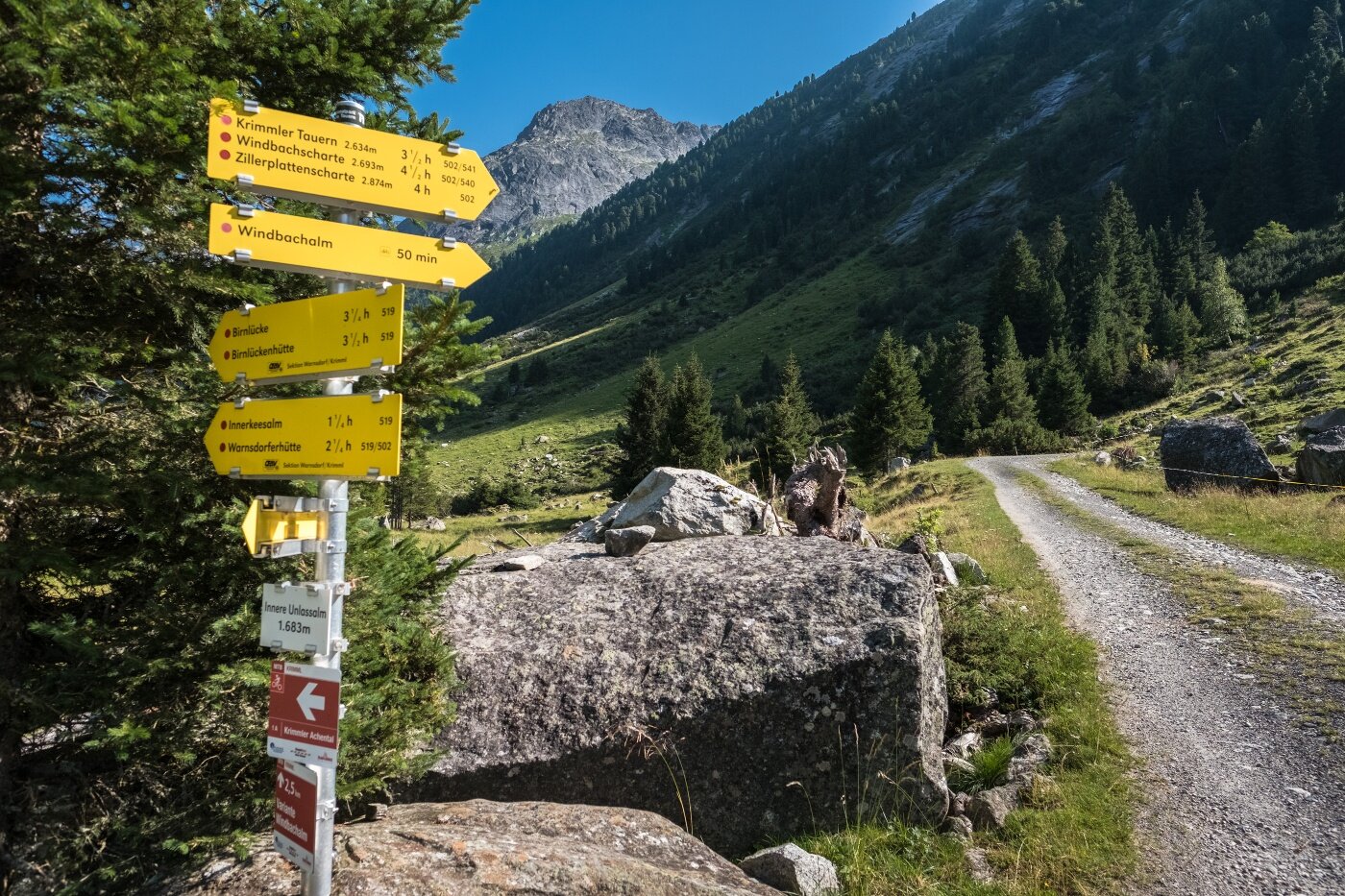
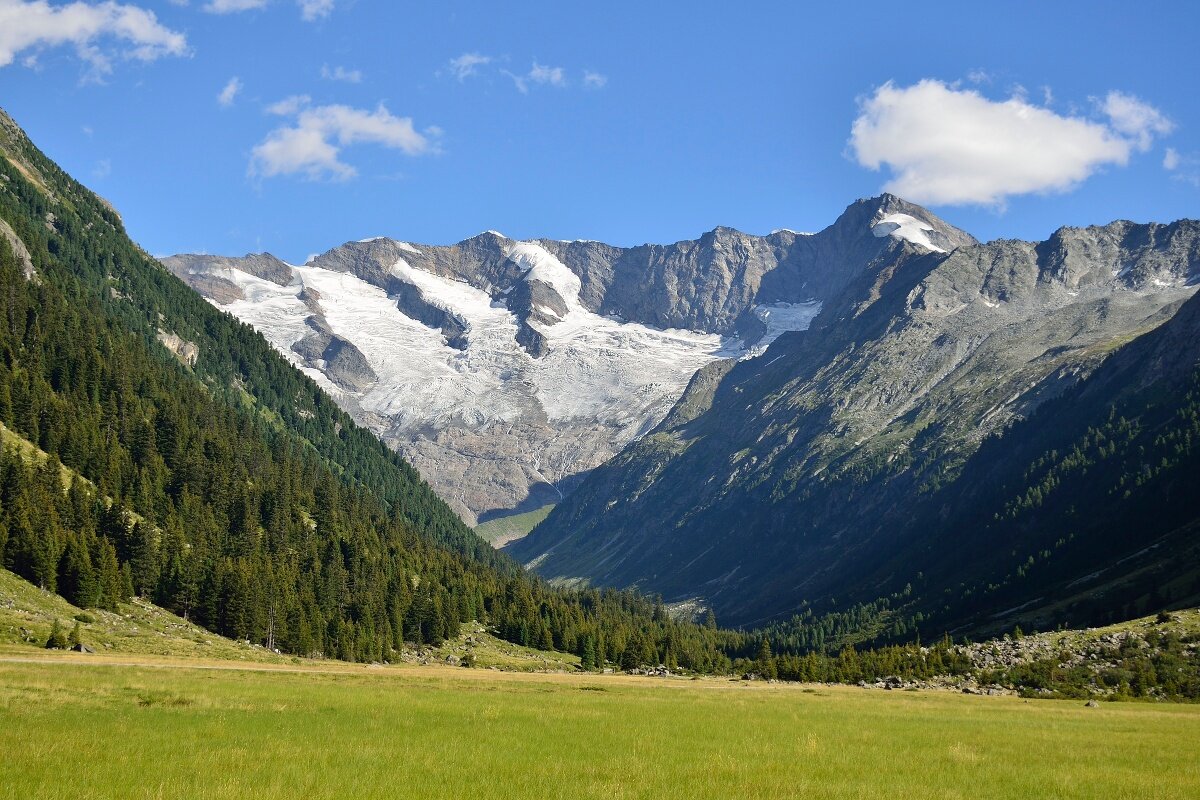
From the Krimmler Tauernhaus, you first hike for approximately a half-hour along the country lane leading into the valley. Close to the Ausserunlass Alm, the hiking path branches off into Windbachtal, a side valley of the Krimmler Achental. Initially, you will make your way steeply uphill through a beautiful pine forest. In the area of the Windbachalm, you will finally be treated to a good view of the U-shaped, glacier-sculpted valley. Here, you will walk to the valley head of the Windbachtal, then hike up to the Krimmler Tauern. At this point, you cross into Italy. On the southern flank, the trail drops steeply downhill. On the way down, you will have the opportunity to take a refreshment break at the Untertauernalpe. Once back on the valley floor, you will again pass a number of huts before finally coming to the small town of Kasern.