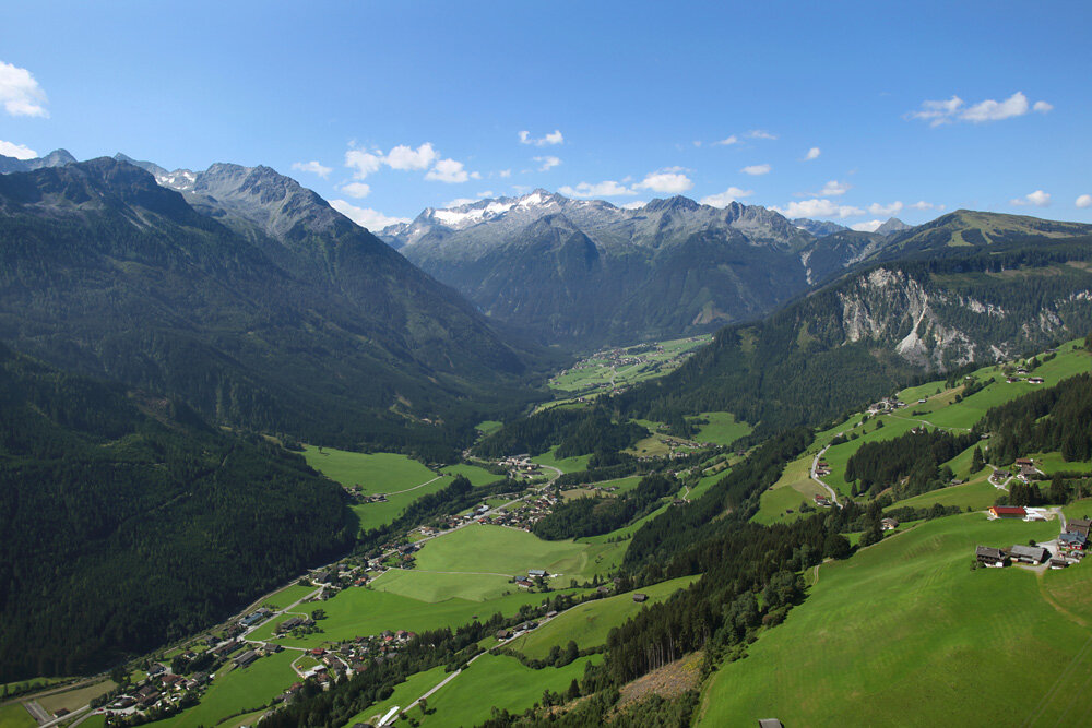
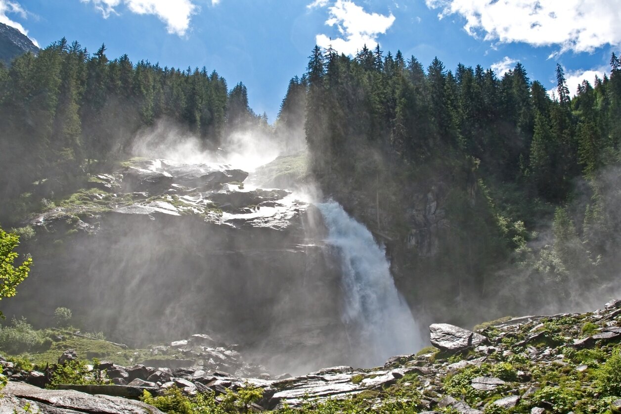
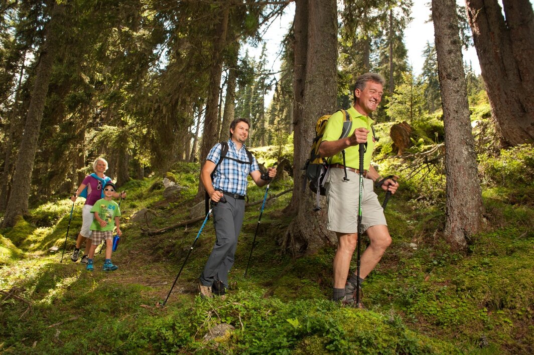
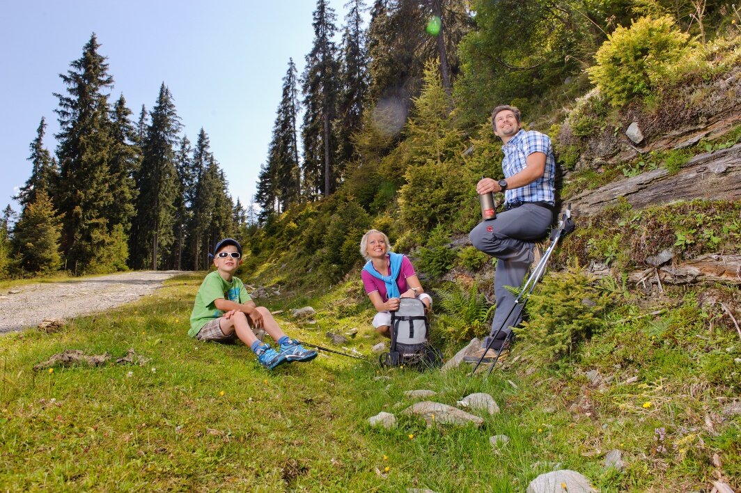
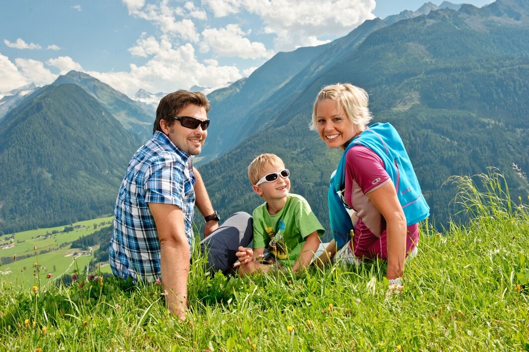
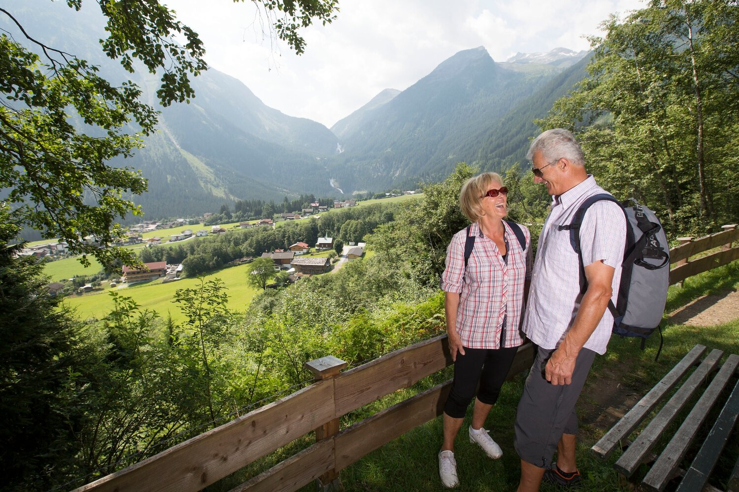
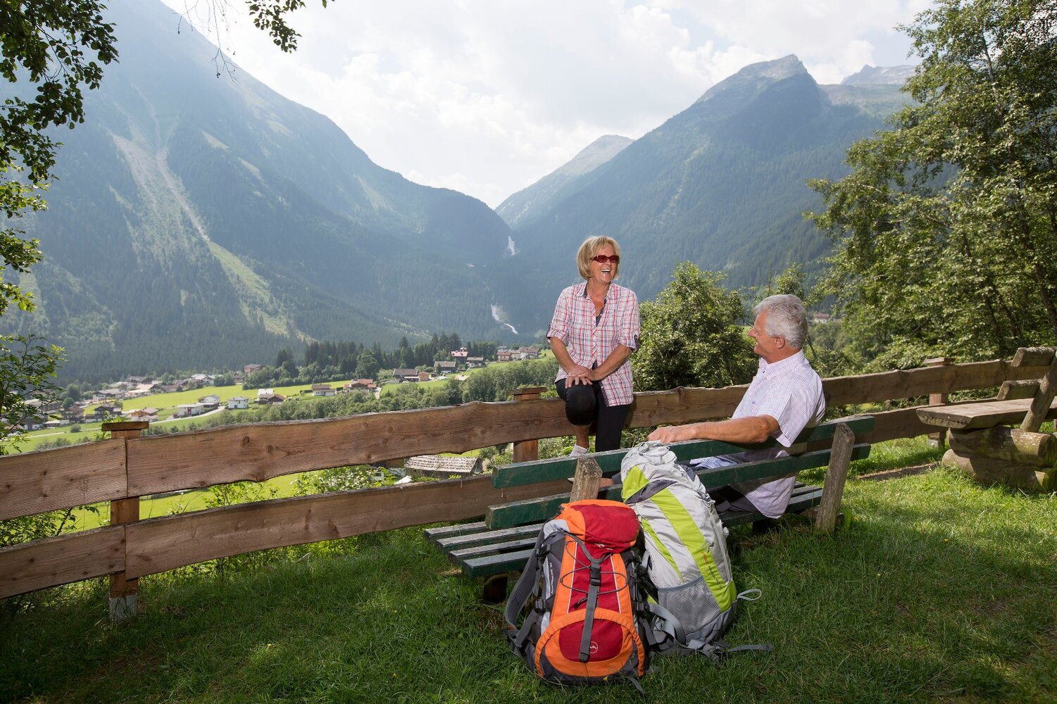
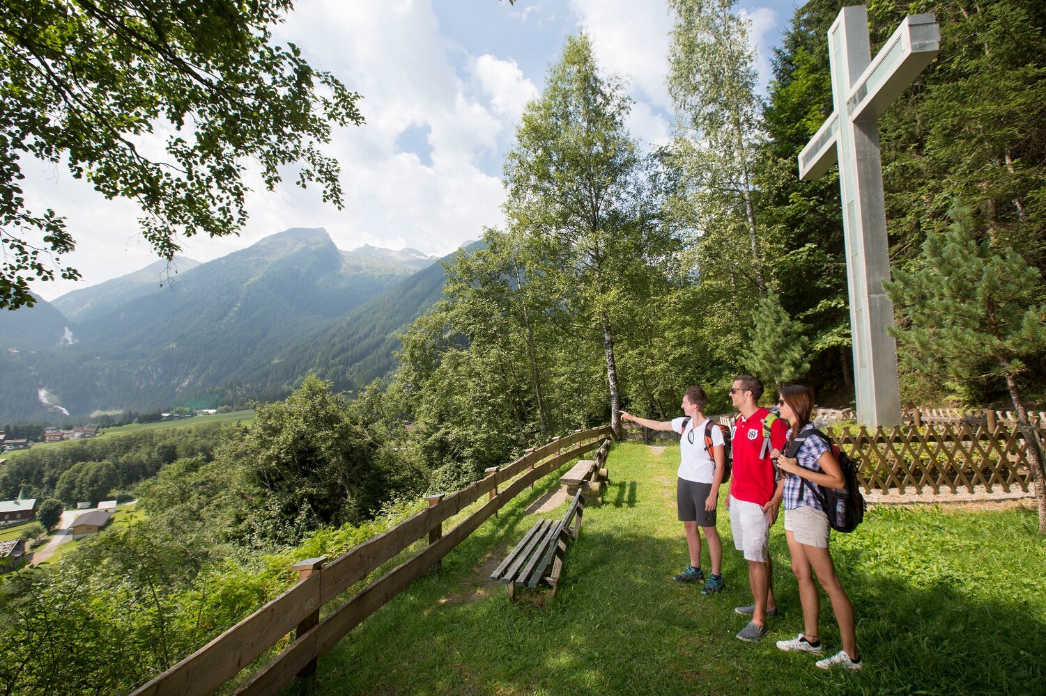
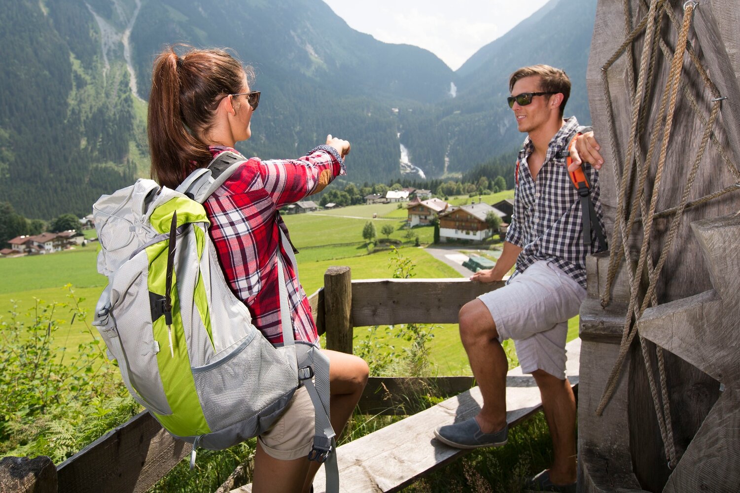
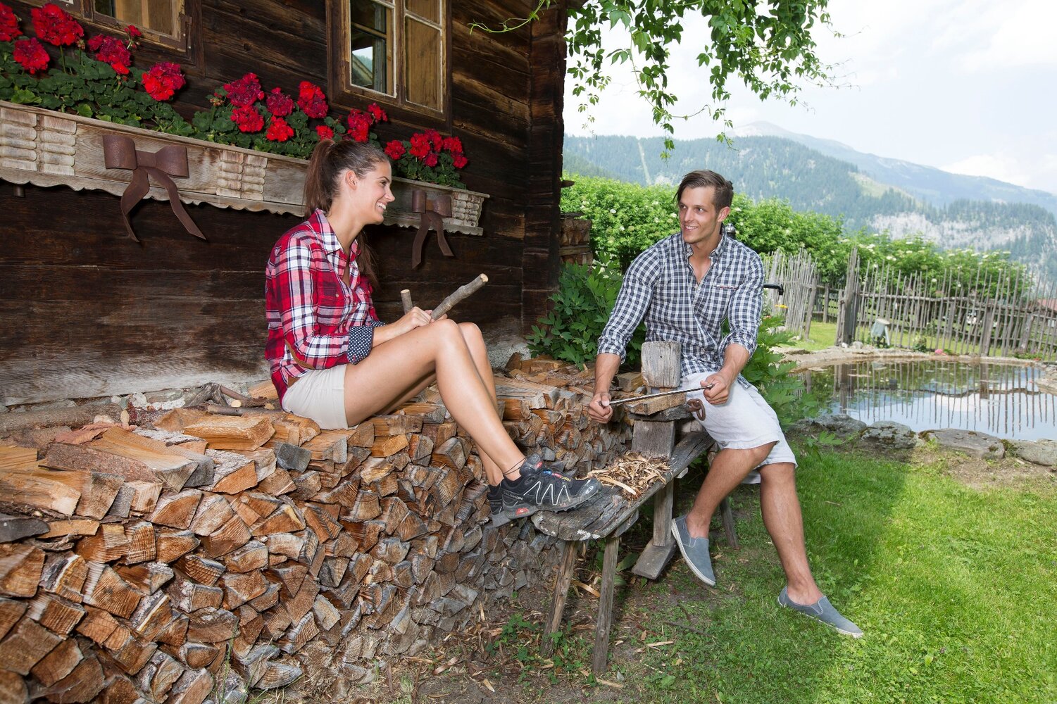
Select Filter
Filter
Activity
Hiking
Hiking & mountain tour
Pilgrimage trail
Themed walks
Cycling and mountain biking
Cycling tour
Mountainbike tour
Road bike tour
Singletrail
Bike & Hike
Nordic walking
Trailrunning
Running tracks
Swimming
Fun sport
Via ferrata
e-Bike & Climb
Attraction
Skiresort
Lifts
Slopes
Snow park
Ski-nordic-classic
Ski-nordic-skating
Winter walking
Tobogganing
Bed and breakfast
Apartment
Campsite
Mountain hut
Lifestyle & sports fashion
Station
Parking spot
Cable car
Webcam
Public toilet
Family friendly routes
Buggy friendly routes
Playground
Zillertal Cable Cars
Discount partners
Family friendly bike routes
swimming pools
Summit Hikes
Summit tour
Starting Point
Tourismusbüro Krimml
End Point
Materialseilbahn Zittauer Hütte
highest point
1887 m
Duration
01:45 h
Route Length
22 km
altitude meters uphill
1036 hm
altitude meters downhill
228 hm
Difficulty
Middle
Starting Point
Wimmertal entrance (1,200m)
End Point
Wimmertal entrance (1,200m)
highest point
1369 m
Walking time
02:00 h
Route Length
12 km
altitude meters uphill
165 hm
Starting Point
Parkplatz Sonnwendkopfbahn
End Point
Ausgangspunkt
highest point
1475 m
Walking time
03:29 h
Route Length
11.42 km
altitude meters uphill
151 hm
Difficulty
Middle
Starting Point
Berghotel Gerlosstein (1.620m)
End Point
Hainzenberg (
highest point
1780 m
Walking time
03:00 h
Route Length
8.5 km
altitude meters uphill
40 hm
Difficulty
Middle
Starting Point
Bergstation Gerlossteinbahn
End Point
Bergstation Gerlossteinbahn
highest point
1674 m
Walking time
01:30 h
Route Length
1 km
altitude meters uphill
25 hm
Starting Point
Königsleiten Dorfbahn Bergstation
End Point
Feriendorf Königsleiten
highest point
2279 m
Walking time
03:30 h
Route Length
6.5 km
altitude meters uphill
50 hm
Difficulty
Middle
Starting Point
Parkplatz Filzsteinalm
End Point
Parkplatz Filzsteinalm
highest point
1678 m
Time Total
00:40 h
Route Length
2.64 km
altitude meters uphill
40 hm
Difficulty
Middle
Starting Point
Duxeralm
End Point
Duxeralm
highest point
2040 m
Walking time
01:40 h
Route Length
5.98 km
altitude meters uphill
350 hm
Difficulty
Middle
Your newsletter

Sign up for our newsletter and receive the best tips about the Zillertal Arena, the latest offers, events and much more every month.

Der Inhalt kann nicht angezeigt werden.
Bitte akzeptieren Sie die Cookies, um den Inhalt zu laden.