

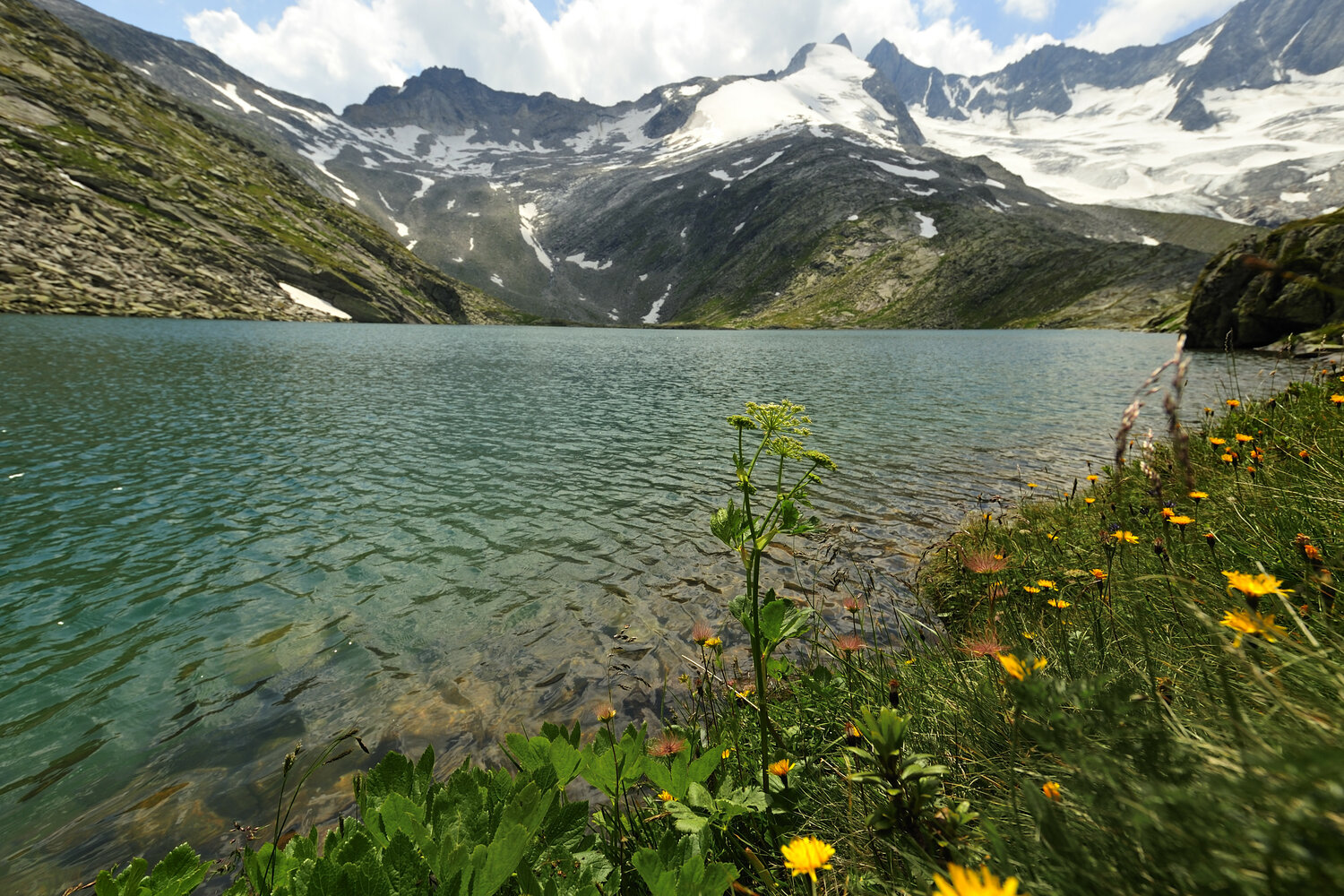
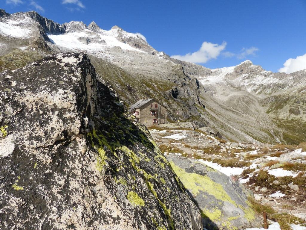
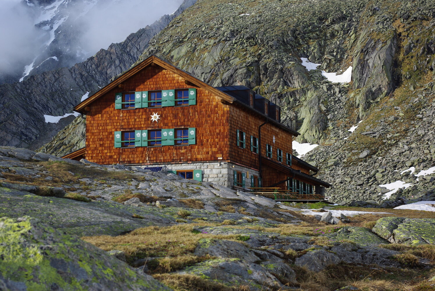
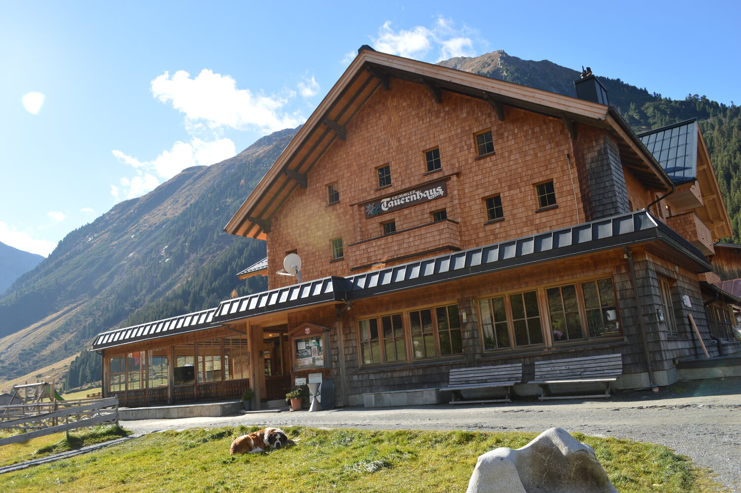
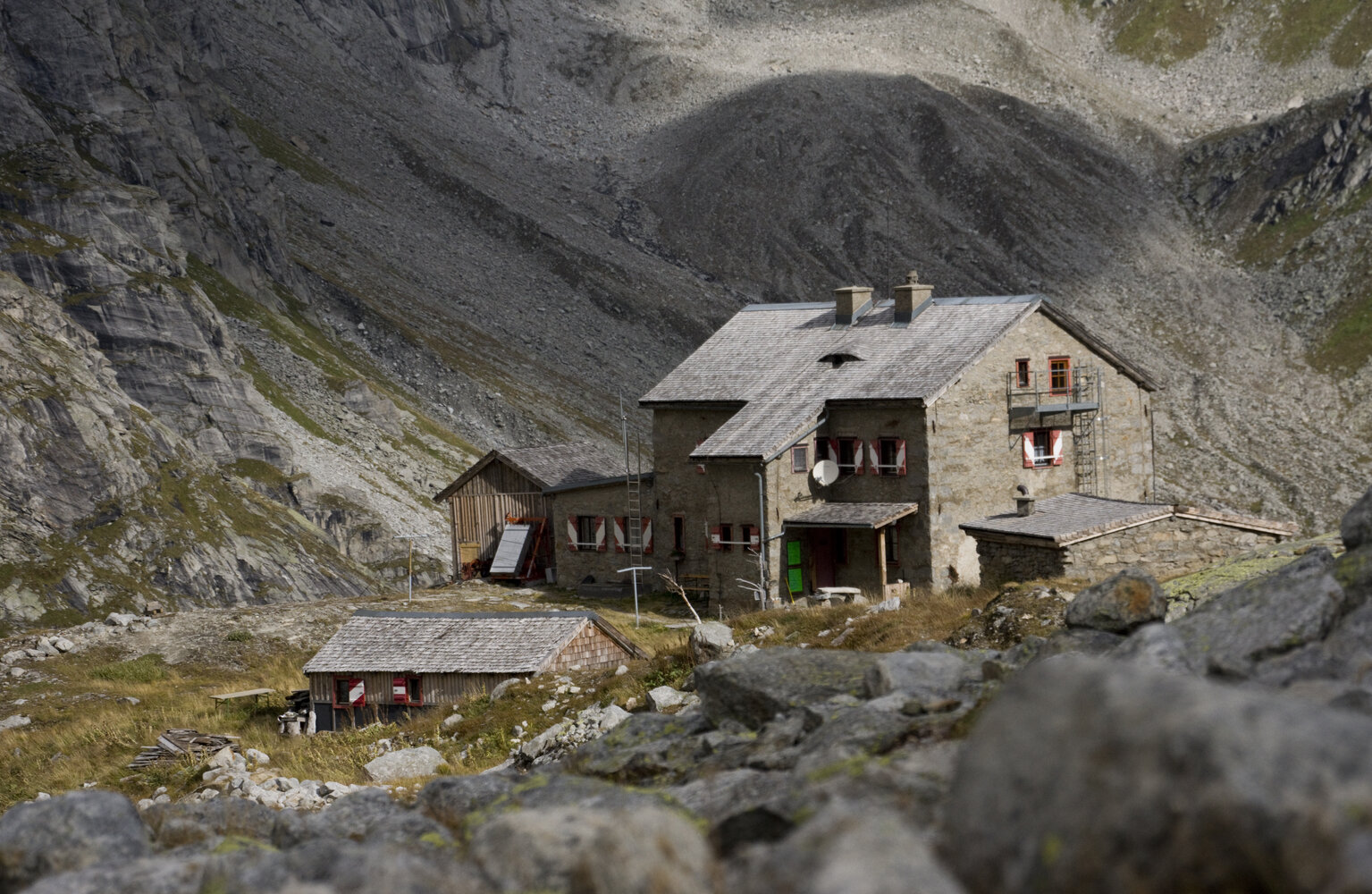
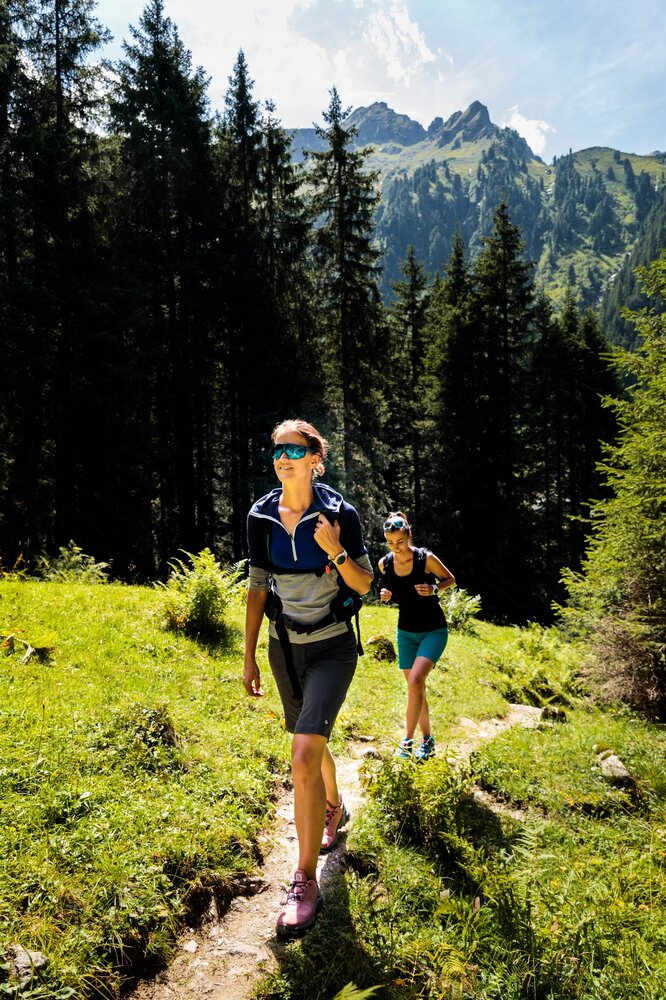
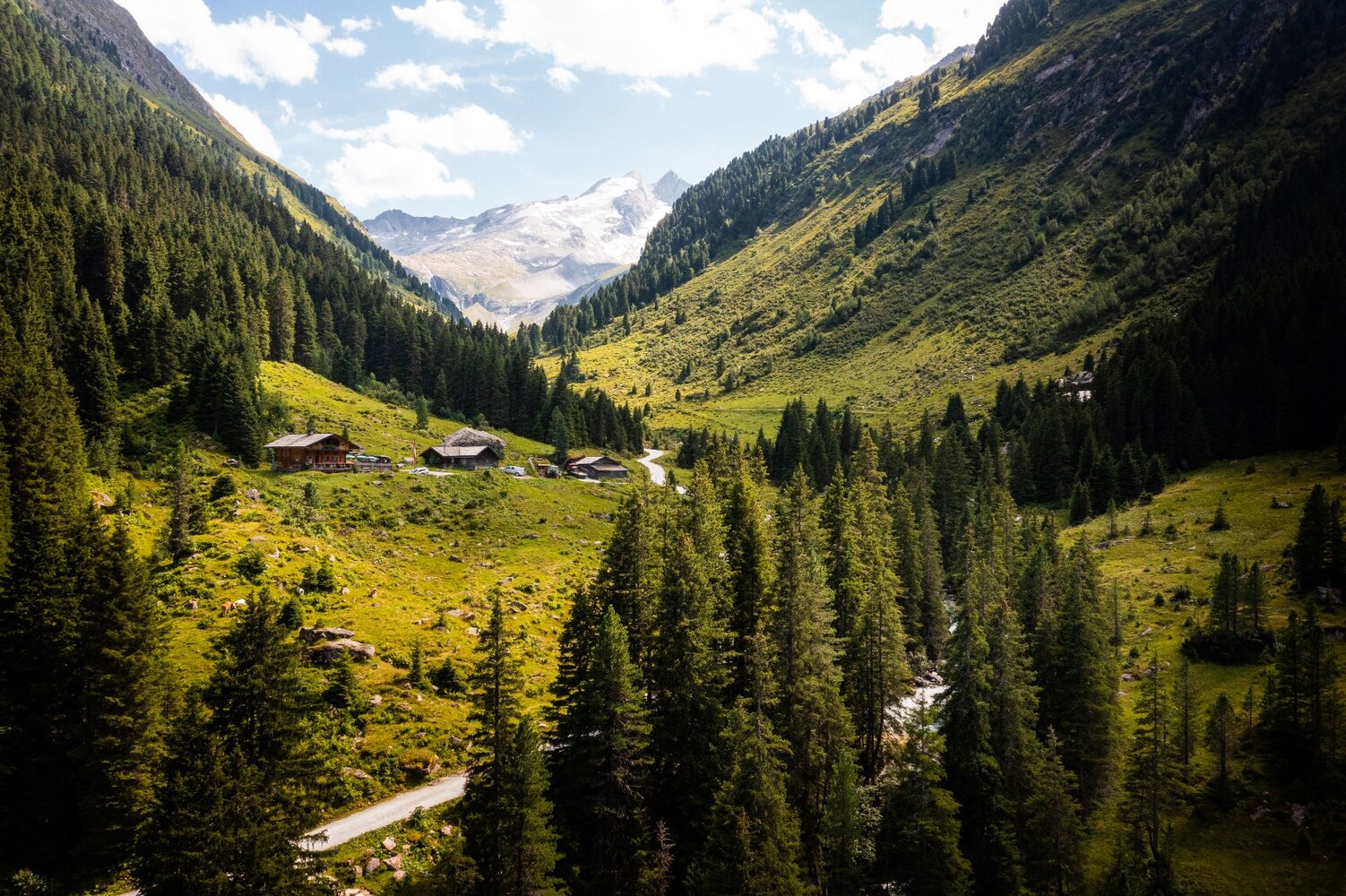
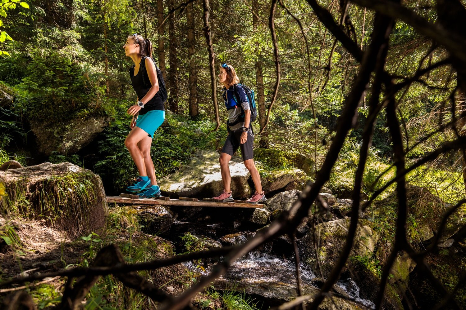
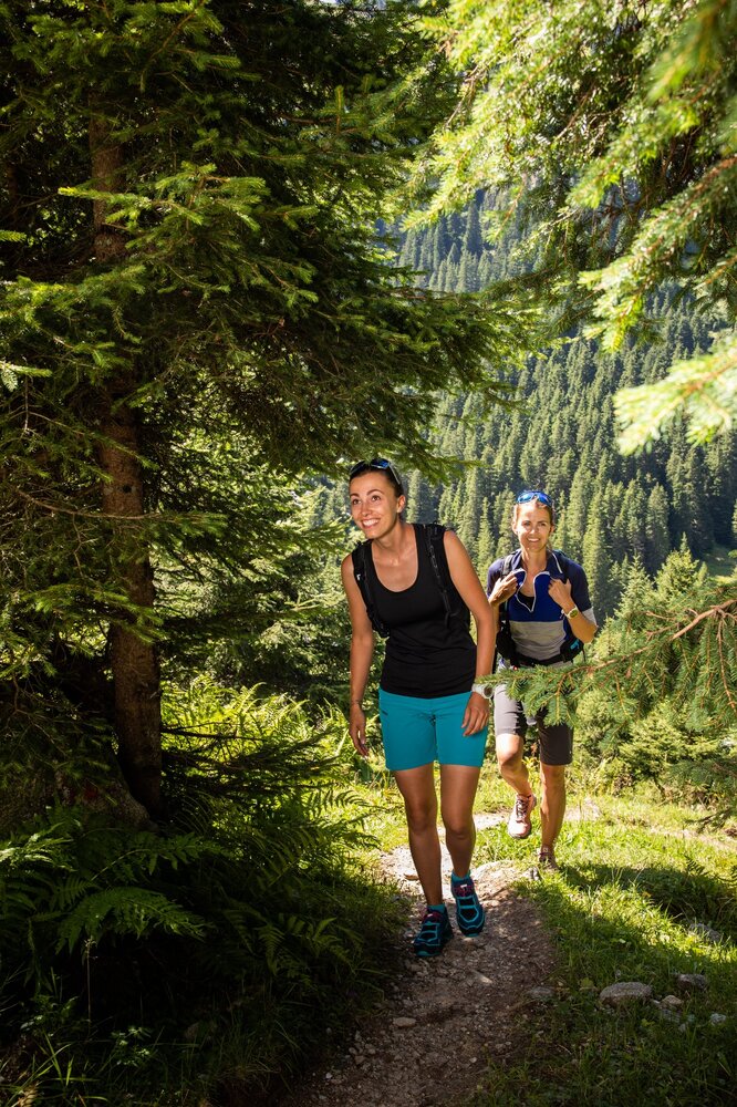
Starting from the Zittauer Hütte, you will make your way alongside the Lower Gerlossee in the direction of the Upper Gerlossee. Shortly before reaching the Rosskarscharte, you can branch off to the left and, after gaining roughly 100 vertical meters, reach the top of the Rosskopf. Once on the summit, you are treated to glorious views of the Hohe Tauern range. Now comes a short hike down to the Rosskarscharte, after which you continue to the Rosskar. The Rosskarlacke is a good place to take a break. When you are ready, hike down to the Keesboden, where you will once again begin an uphill stage. After ca. 200 vm, you will come to the Richter Hütte, which is a good refreshment opportunity. You will now begin a last short-sharp climb to the Windbachscharte. From here, a pleasant path leads you downhill in the direction of the Eissee. If you intend to visit this lake, you will need to make a short climb to get there. When you are done, your hike takes you downhill through the glacier-sculpted Windbachtal valley, past the Windbachalm and through a pine forest. At the Ausserunlass Alm, the path you are on leads straight into Krimmler Achental, which in turn brings you to the historic Krimmler Tauernhaus.