Isskogel (2.263 m) - Kreuzjoch (2.558 m) - Krummbachtal

Overview

Walking time
07:00 h
Route Length
17 km
Difficulty
Hard
altitude meters uphill
693 hm
altitude meters downhill
1330 hm
highest point
2555 m
webx_gs_stamina
pictogram?
webx_gs_skill
pictogram?
webx_gs_public_transport

With the bus 4094 to Gerlos.

Exit point: Isskogelbahn

webx_gs_parking

At the Isskogelbahn

Route Start

Isskogelbahn Bergstation

Route End

Kreuzjoch (2.558 m)

Altitude Profile

Weather

weather today
Light snowfall, mostly cloudy
weather tomorrow
Light snowfall, mostly cloudy

Description

Challenging circular hike with 2 summit victories. Ascent with the Isskogelbahn.

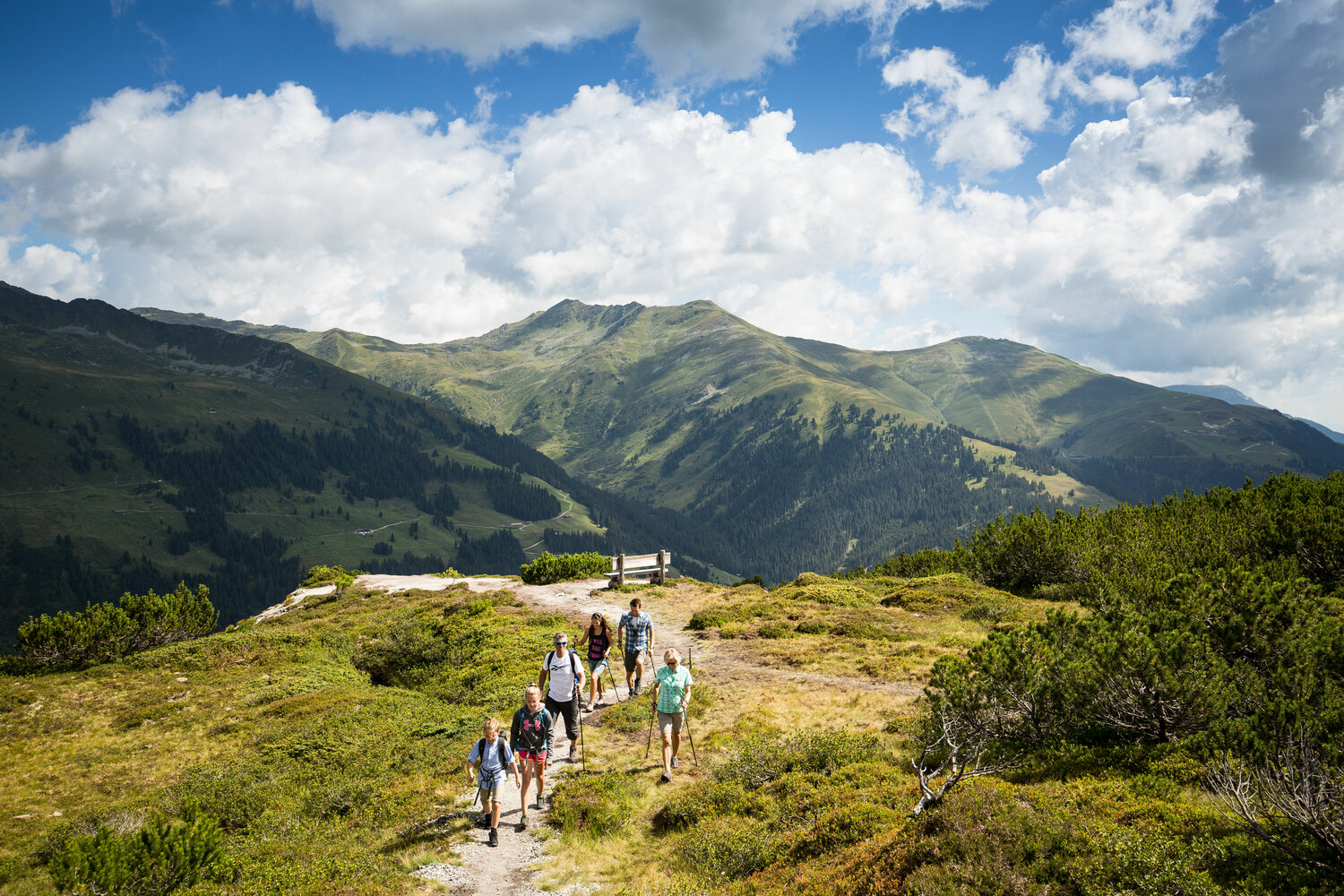
Take the canle car to the Isskogel mountain station. From there, the ascending, marked hiking trail No. 1 leads to the summit of the Isskogel (2,264 m). Then continue through rocky terrain and over a narrow ridge path to the Kreuzjoch summit cross (2,558m). The descent then begins via path no. 1 to the wild and romantic Langensee and the return path via the Wilde Krimmlalm. From here, hiking trail no. 2 leads through the rear Krummbachtal to the Krummbachrast snack station. After a short stop, we continue back to Gerlos in about 1 hour to the valley station of the Isskogelbahn.

Total walking time: approx. 7 hours (safety and fitness required)


Your newsletter

Sign up for our newsletter and receive the best tips about the Zillertal Arena, the latest offers, events and much more every month.

The content cannot be displayed.
Please accept the cookies to load the content.