Summit Hike: Marchkopf (2,499 m)

Overview

Walking time
05:00 h
Route Length
7 km
Difficulty
Middle
altitude meters uphill
680 hm
altitude meters downhill
680 hm
highest point
2499 m
Route Start

Zellbergstüberl oder Hirschbichlalm

Route End

Marchkopf (2.499 m)

Altitude Profile

Weather

weather today
20° Lots of clouds, some sun
weather tomorrow
23° Lots of clouds, some sun

Description

5-hour mountain tour to the Marchkopf. Starting point: Zillertal Höhenstraße, Mautstraße, Bereich Zellberg

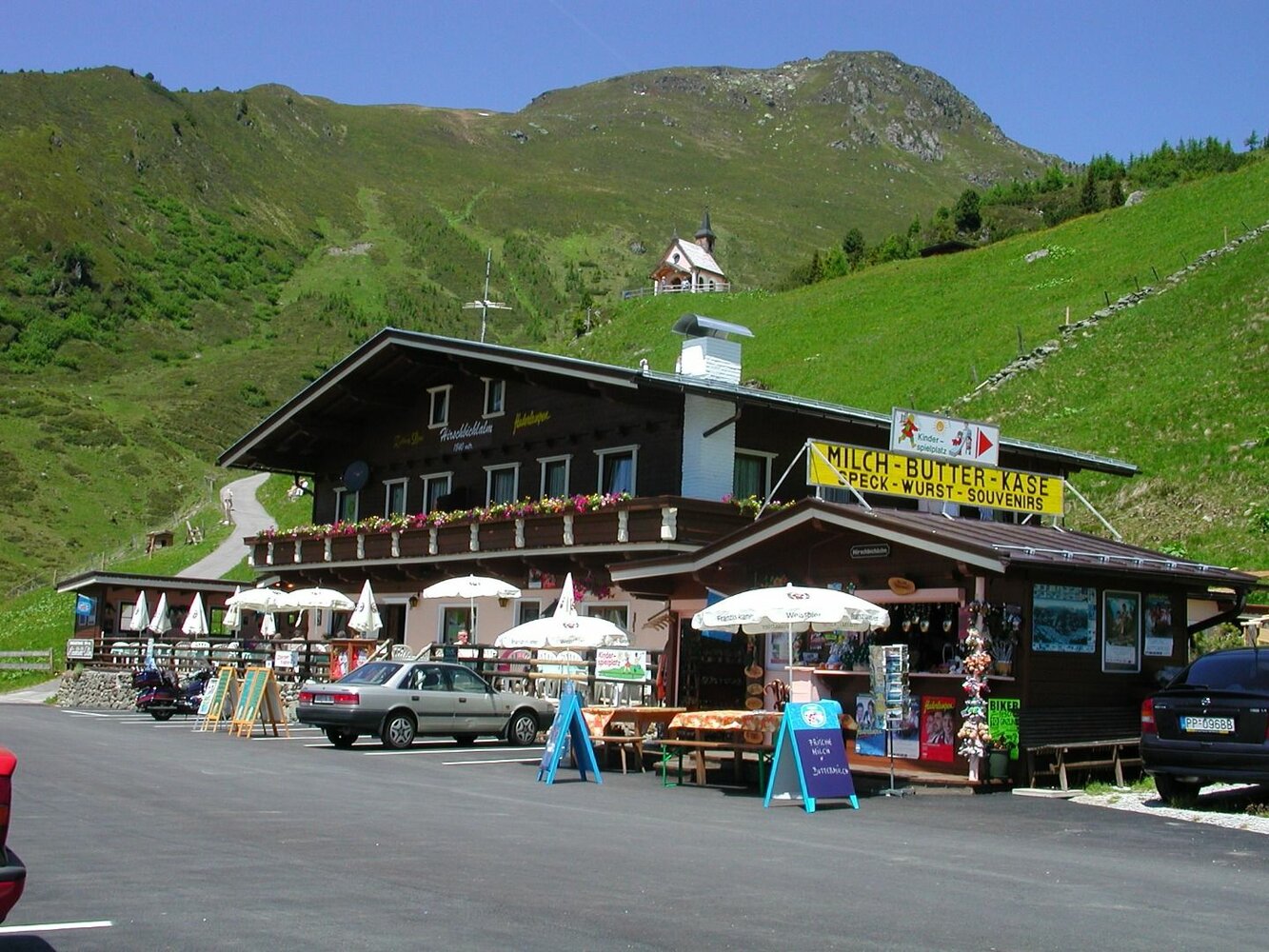
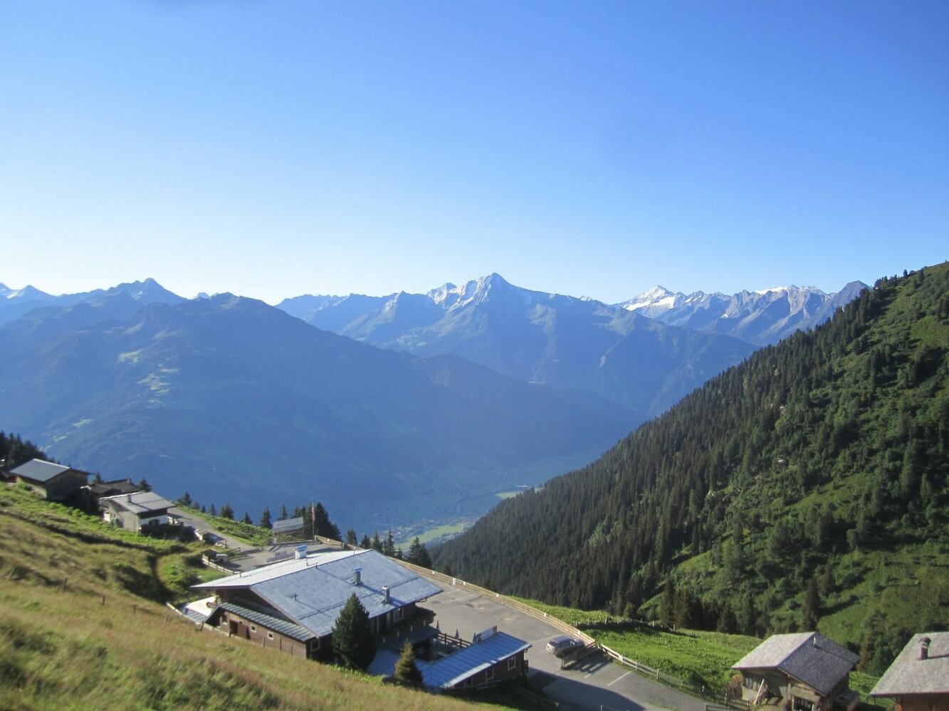
Starting point: Hirschbichlalm, 1,822 m (Zillertaler Höhenstraße - High Road, toll road)

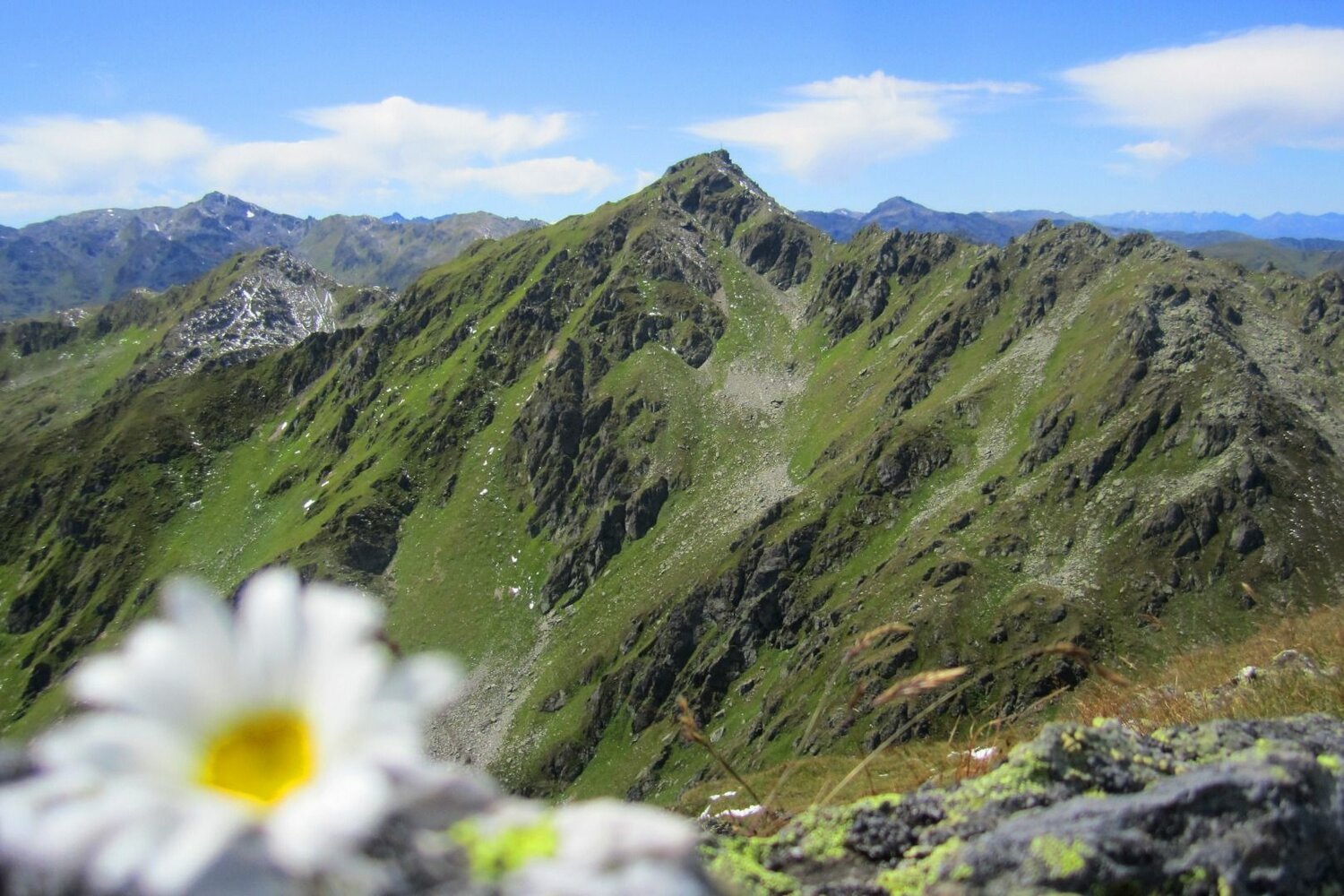
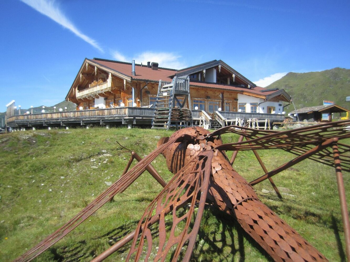
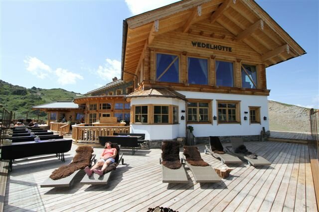
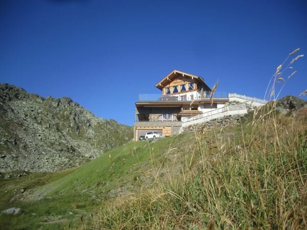
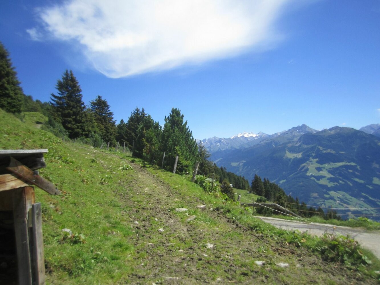
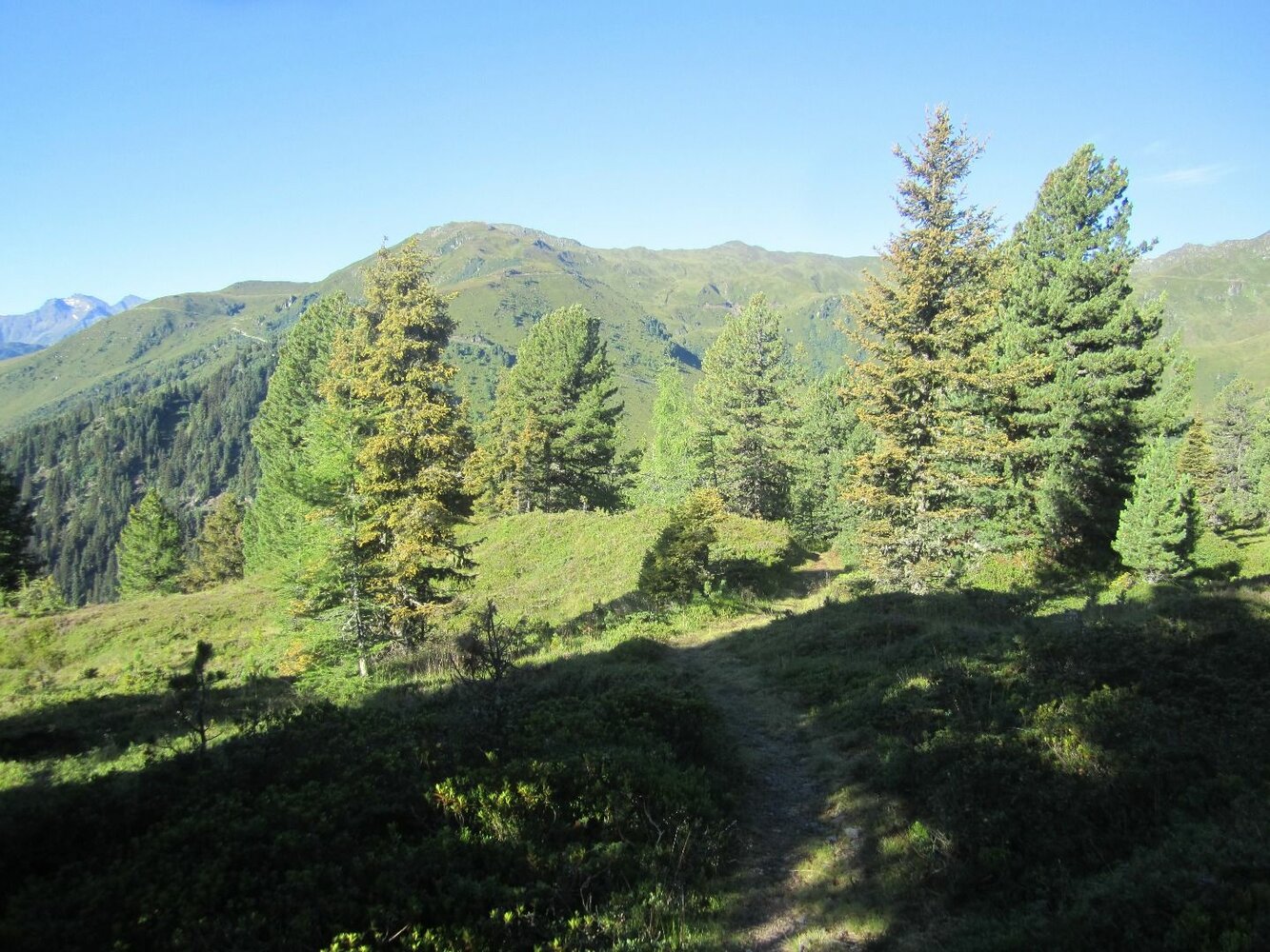
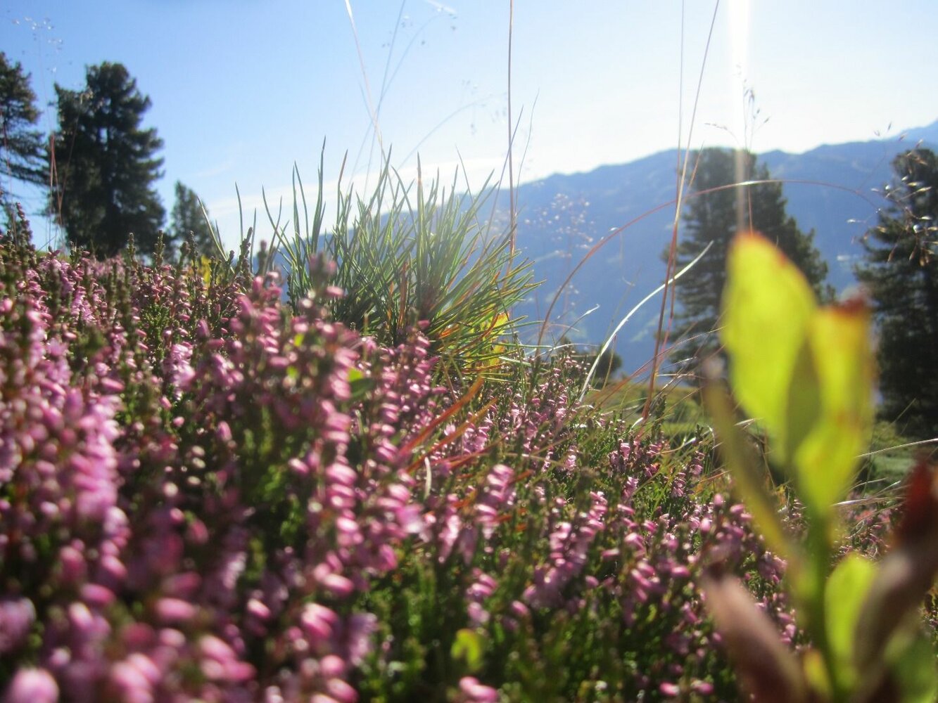
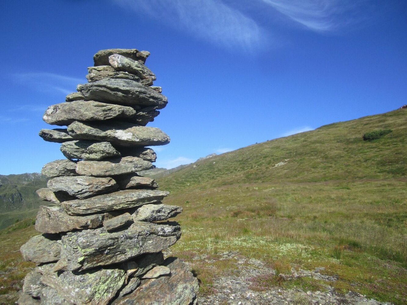
A short piece on the left to the West of the Hirschbichlalm along the street the marked way branches off the street after the huts. Follow the way over the wide pastures of the Krössbrunnalm. The way leads further to the mountain ridge with a wonderful view on a mountain lake. When you have reached the mountain ridge you have a marvellous view on the alpine huts of Hochfügen. There on the right further to the Marchkopf (2,449 m). From the summit it is a short and precipitous descent to the Wedelhütte (2,350 m). From there you follow the marked way through the basin back to the Hirschbichlalm.


Your newsletter

Sign up for our newsletter and receive the best tips about the Zillertal Arena, the latest offers, events and much more every month.

The content cannot be displayed.
Please accept the cookies to load the content.