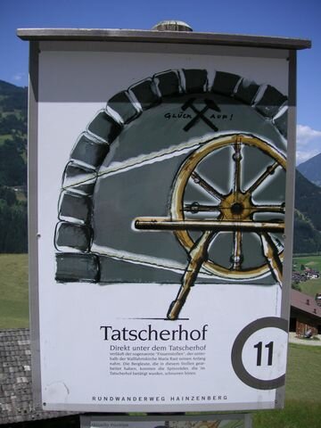
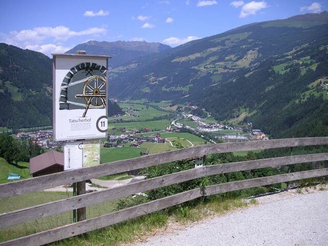
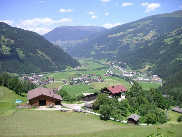
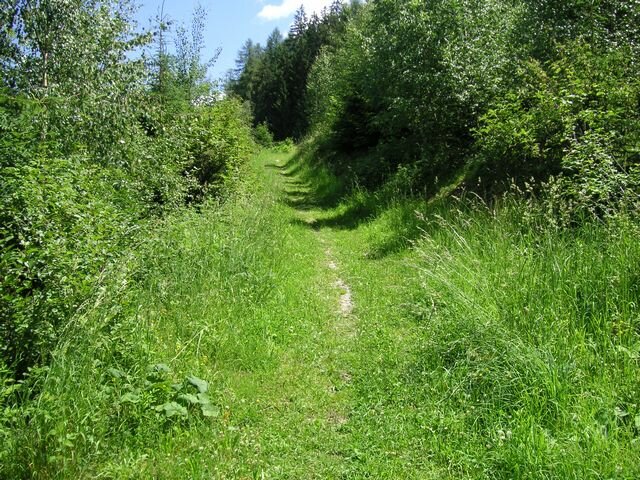
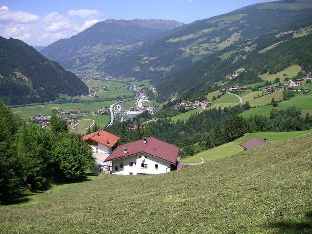
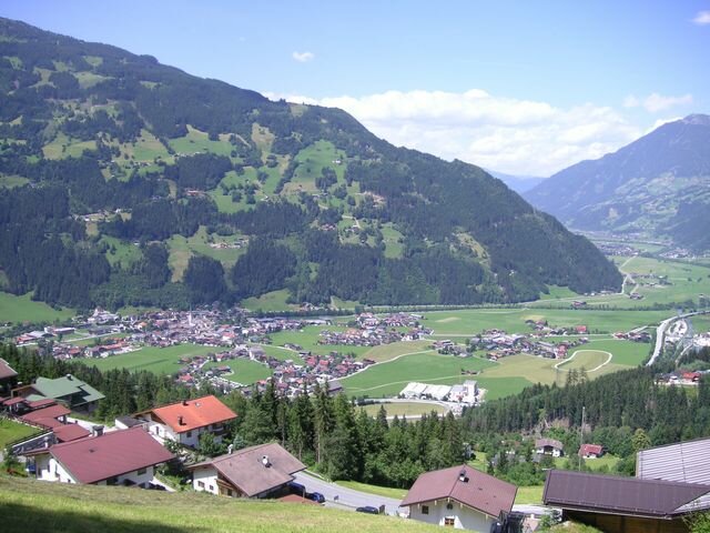
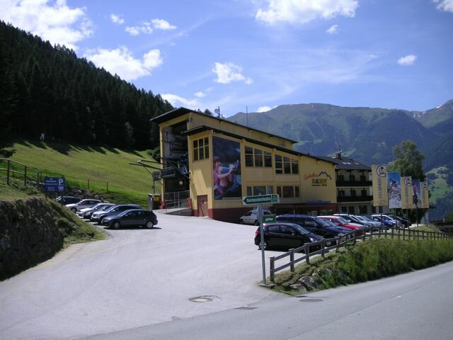
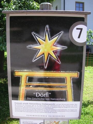
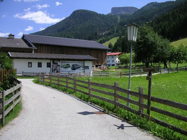
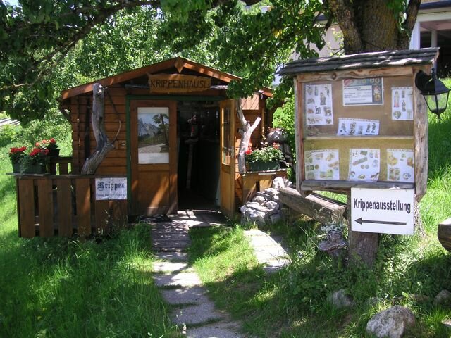
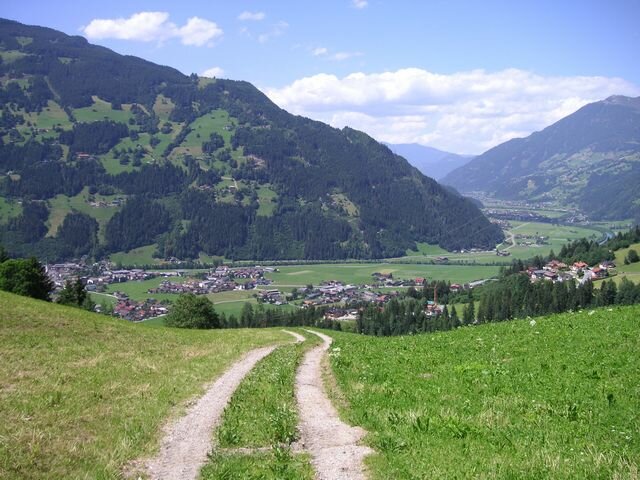
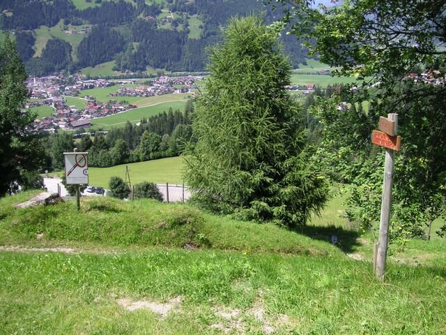
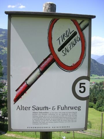
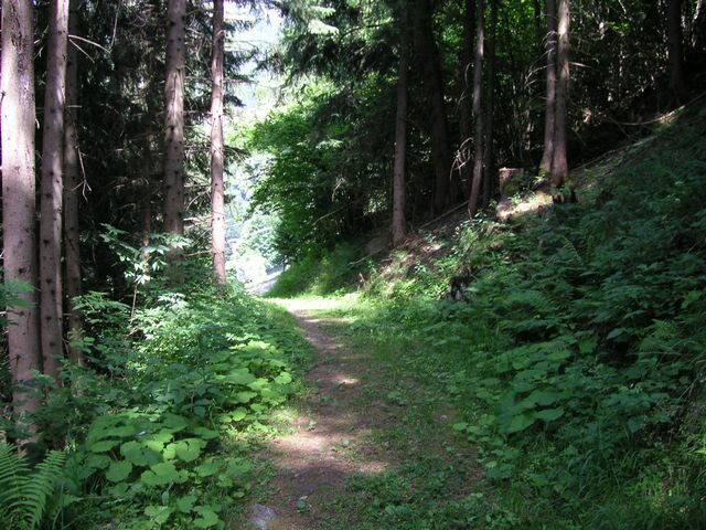
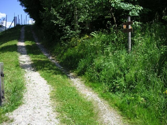
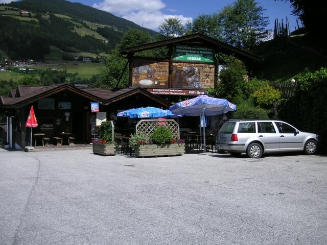
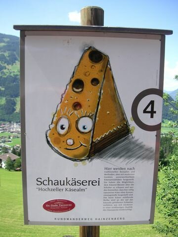
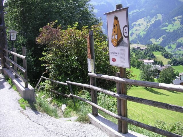
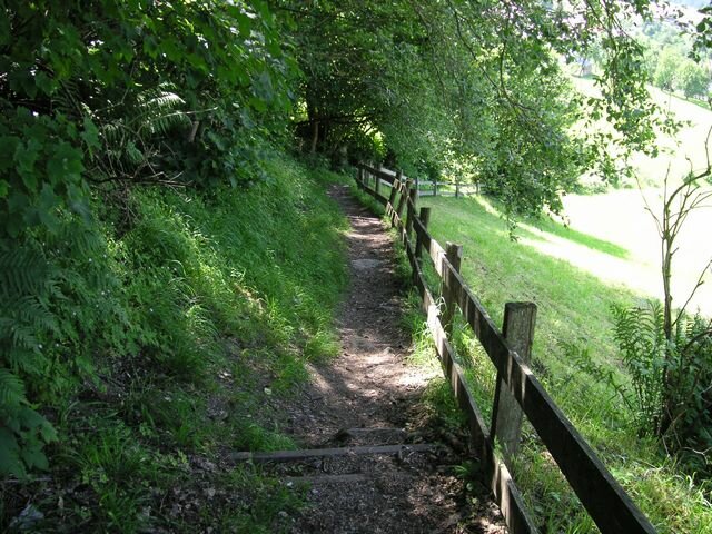
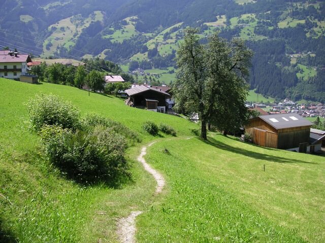
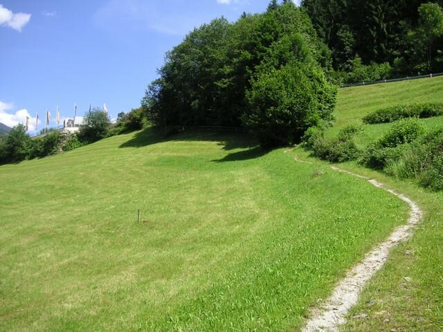
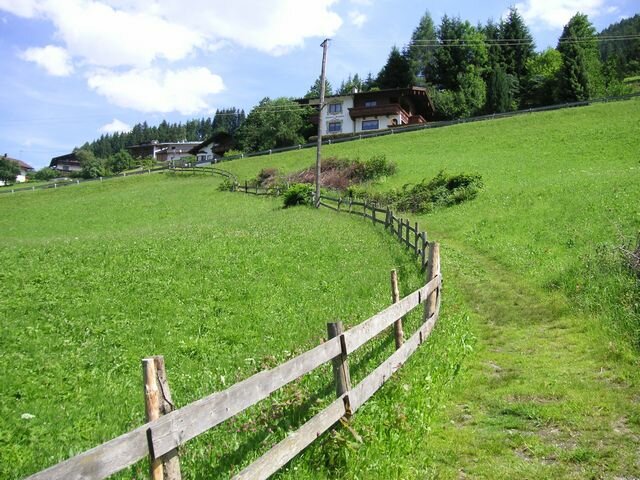
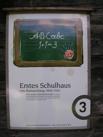
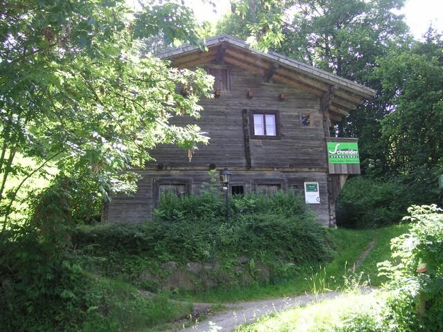
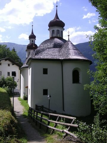
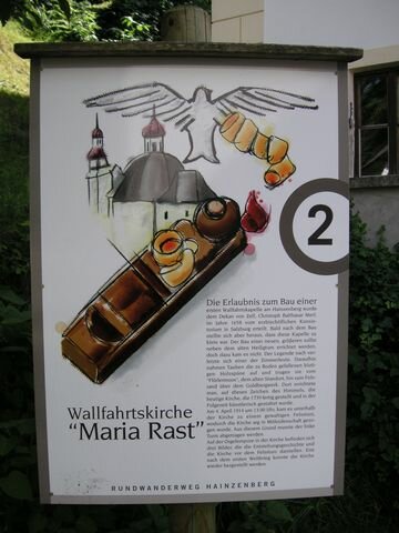
Select Filter
Filter
Activity
Hiking
Hiking & mountain tour
Pilgrimage trail
Themed walks
Cycling and mountain biking
Cycling tour
Mountainbike tour
Road bike tour
Singletrail
Bike & Hike
Nordic walking
Trailrunning
Running tracks
Swimming
Fun sport
Via ferrata
e-Bike & Climb
Attraction
Skiresort
Lifts
Slopes
Snow park
Ski-nordic-classic
Ski-nordic-skating
Winter walking
Tobogganing
Bed and breakfast
Apartment
Campsite
Mountain hut
Lifestyle & sports fashion
Station
Parking spot
Cable car
Webcam
Public toilet
Family friendly routes
Buggy friendly routes
Playground
Zillertal Cable Cars
Discount partners
Family friendly bike routes
swimming pools
Summit Hikes
Summit tour
Starting Point
Isskogelbahn valley station (1,300m)
End Point
Isskogelbahn valley station (1,300m)
highest point
1900 m
Walking time
03:30 h
Route Length
11 km
altitude meters uphill
630 hm
Difficulty
Middle
Starting Point
Bahnhof Vorderkrimml
End Point
Wald - weiter bis nach Passau
highest point
912 m
Duration
20:00 h
Route Length
3.55 km
altitude meters uphill
20 hm
altitude meters downhill
56 hm
Starting Point
Parkplatz Filzsteinalm
End Point
Parkplatz Plattenalm
highest point
1690 m
Walking time
00:45 h
Route Length
2.57 km
altitude meters uphill
40 hm
Starting Point
Wald - Ortszentrum
End Point
Happingalm
highest point
1798 m
Duration
02:30 h
Route Length
10.62 km
altitude meters uphill
927 hm
altitude meters downhill
5 hm
Difficulty
Middle
Starting Point
Krimmler Wasserfälle
End Point
Bahnhof Krimml - weiterführend
highest point
1062 m
Duration
00:20 h
Route Length
3.67 km
altitude meters uphill
5 hm
altitude meters downhill
145 hm
Starting Point
Wimmertal entrance (1,200m)
End Point
Wimmertal entrance (1,200m)
highest point
1369 m
Walking time
02:00 h
Route Length
12 km
altitude meters uphill
165 hm
Starting Point
Bergstation Rosenalmbahn
End Point
Kreithütte
highest point
1740 m
Walking time
00:20 h
Route Length
1 km
altitude meters uphill
30 hm
Starting Point
Music pavilion Gerlos
End Point
Music pavilion Gerlos
highest point
2270 m
Route Length
26.5 km
altitude meters uphill
1018 hm
altitude meters downhill
1018 hm
Difficulty
Hard
Your newsletter

Sign up for our newsletter and receive the best tips about the Zillertal Arena, the latest offers, events and much more every month.

The content cannot be displayed.
Please accept the cookies to load the content.