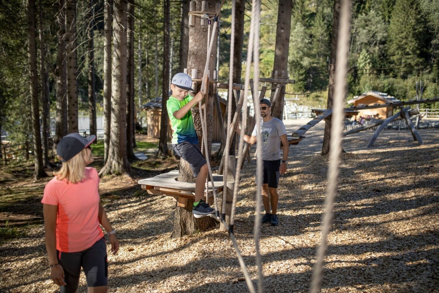
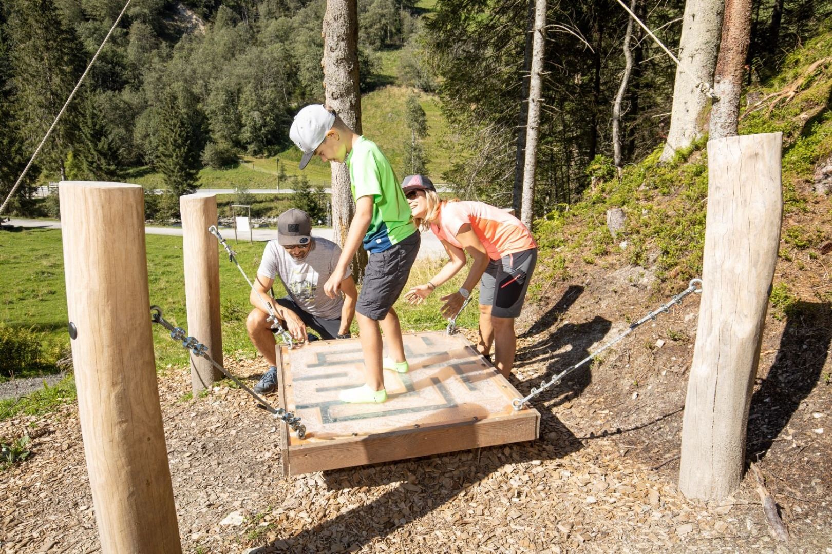
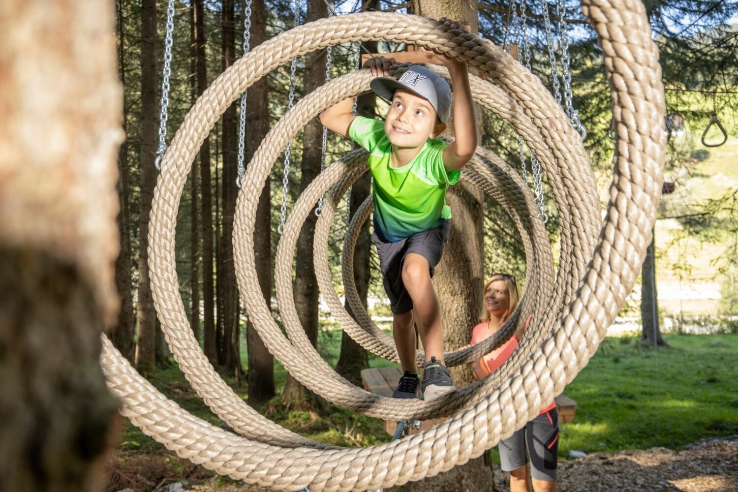
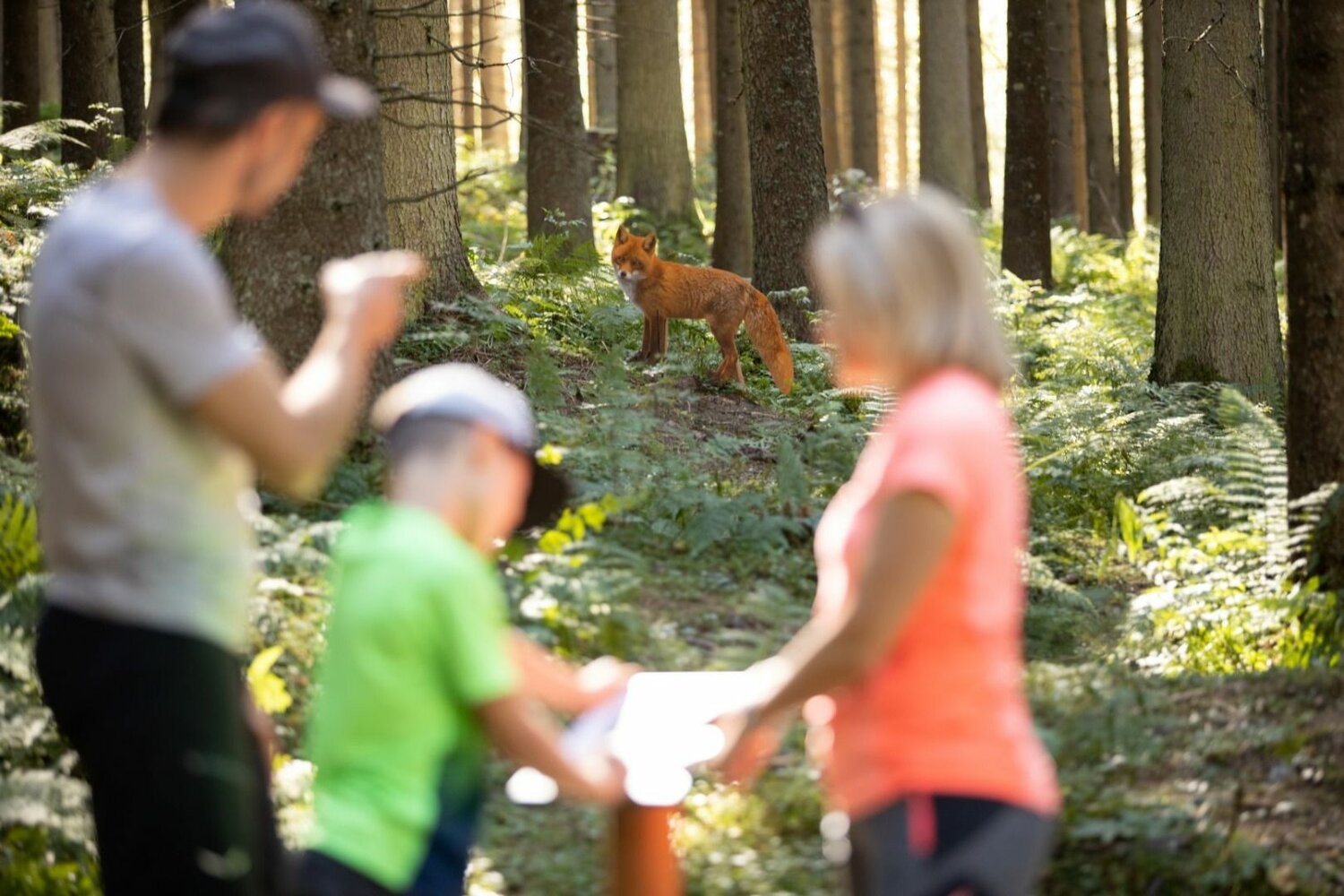
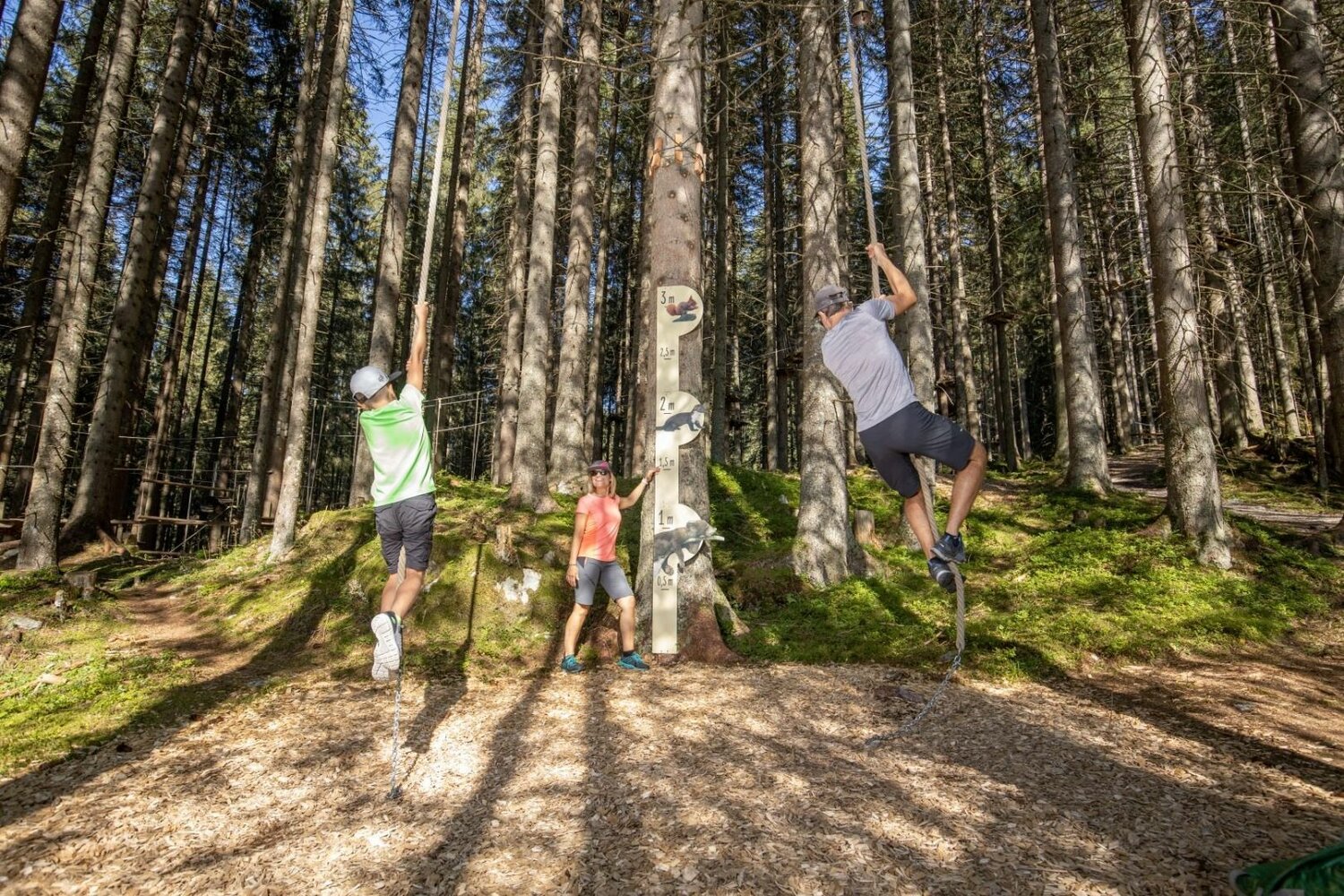
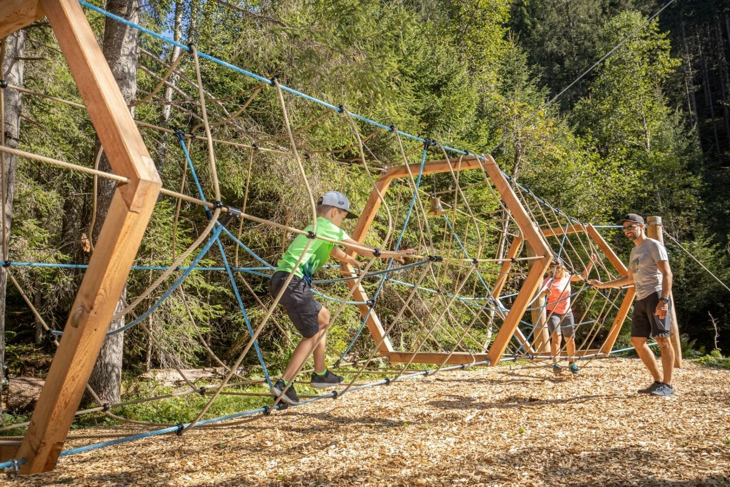
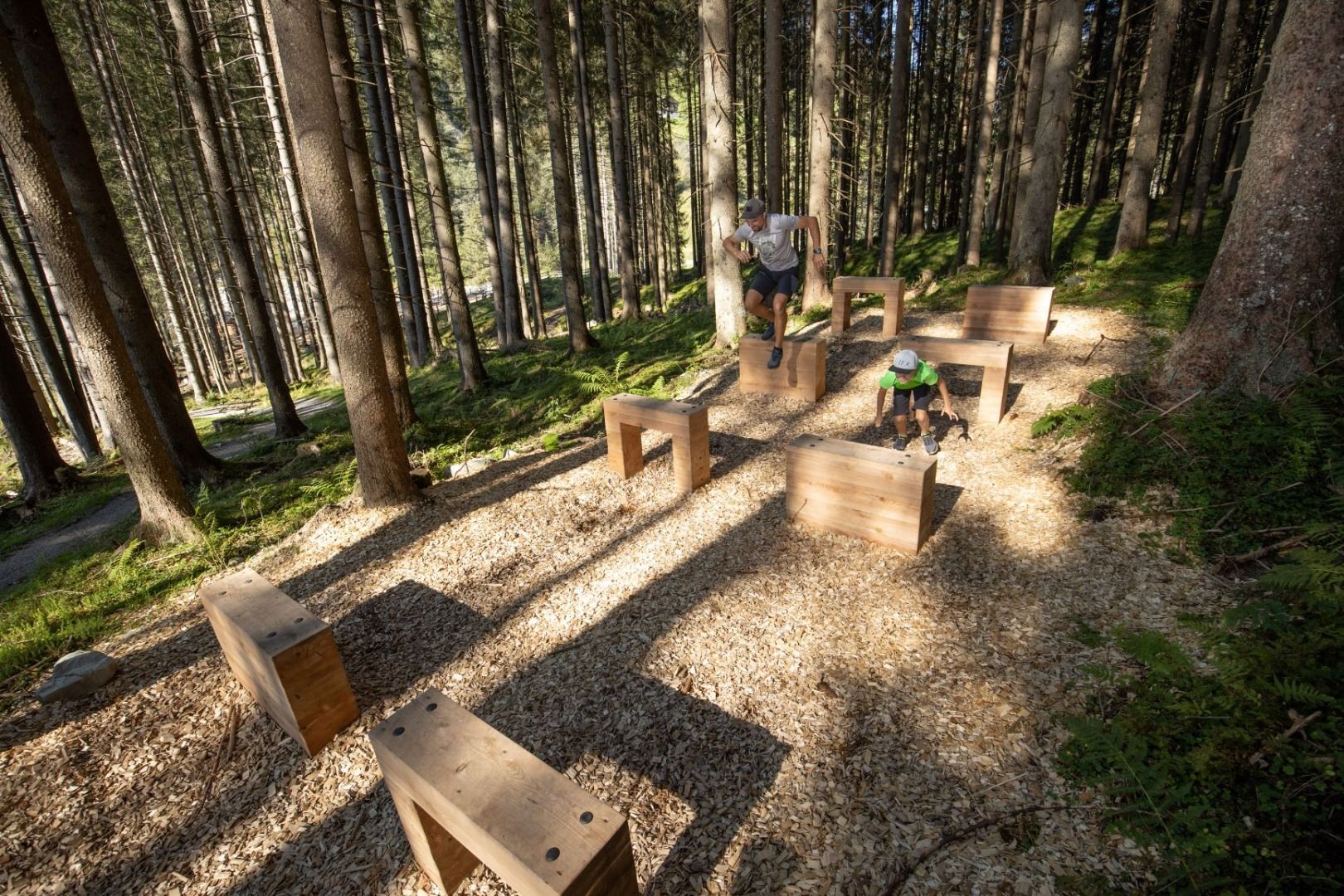
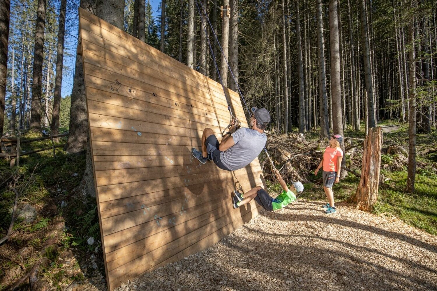
Select Filter
Filter
Activity
Hiking
Hiking & mountain tour
Pilgrimage trail
Themed walks
Cycling and mountain biking
Cycling tour
Mountainbike tour
Road bike tour
Singletrail
Bike & Hike
Nordic walking
Trailrunning
Running tracks
Swimming
Fun sport
Via ferrata
e-Bike & Climb
Attraction
Skiresort
Lifts
Slopes
Snow park
Ski-nordic-classic
Ski-nordic-skating
Winter walking
Tobogganing
Bed and breakfast
Apartment
Campsite
Mountain hut
Lifestyle & sports fashion
Station
Parking spot
Cable car
Webcam
Public toilet
Family friendly routes
Buggy friendly routes
Playground
Zillertal Cable Cars
Discount partners
Family friendly bike routes
swimming pools
Summit Hikes
Summit tour
Starting Point
Krimml (1.079m)
End Point
Zittauer Hütte (2169m)
highest point
2713 m
Walking time
08:00 h
Route Length
18.8 km
altitude meters uphill
1627 hm
Difficulty
Hard
Starting Point
Gerlos Ort (1300m)
End Point
Krimml (1,076m)
highest point
2845 m
Walking time
13:00 h
Route Length
40 km
altitude meters uphill
1550 hm
Difficulty
Hard
highest point
585 m
Route Length
2 km
altitude meters uphill
15 hm
Status Closed
Starting Point
top station Isskogelbahn Gerlos (1.900 m)
End Point
top station Isskogelbahn Gerlos (1.900 m)
highest point
2264 m
Walking time
02:30 h
Route Length
5.5 km
altitude meters uphill
356 hm
Starting Point
Zittauer Hütte (2.169m)
End Point
Gerlos (1.300m)
highest point
2800 m
Walking time
07:00 h
Route Length
16.3 km
altitude meters uphill
650 hm
Difficulty
Hard
Starting Point
Musikpavillon Gerlos
End Point
Kirchspitze
Route Length
17.5 km
Duration
02:30 h
Walking time
02:00 h
Difficulty
Hard
Starting Point
top station Gerlosstein cable car
End Point
Brandberg
highest point
1785 m
Walking time
03:00 h
Route Length
8 km
altitude meters uphill
210 hm
Difficulty
Middle
Your newsletter

Sign up for our newsletter and receive the best tips about the Zillertal Arena, the latest offers, events and much more every month.

Der Inhalt kann nicht angezeigt werden.
Bitte akzeptieren Sie die Cookies, um den Inhalt zu laden.