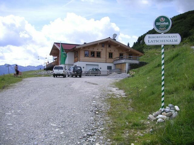
Hundsbichlhof am Gerlosberg (Abzweigung Kreuzwiesenlamhütte)
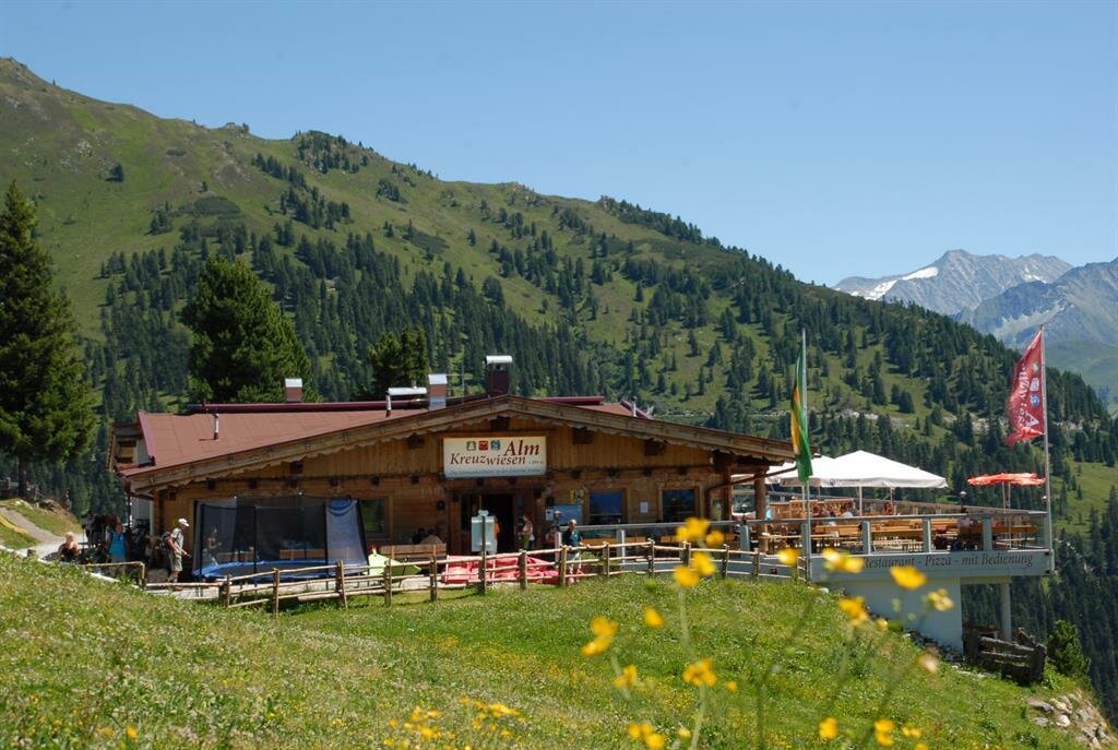
Kreuzwiesenalm
Test
Sign up for our newsletter and receive the best tips about the Zillertal Arena, the latest offers, events and much more every month.