Select Filter
Filter
Activity
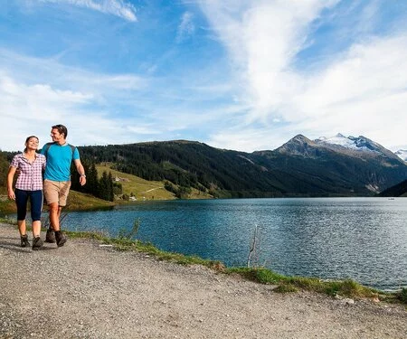
Hiking
Hiking & mountain tour
Pilgrimage trail
Themed walks
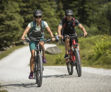
Cycling and mountain biking
Cycling tour
Mountainbike tour
Road bike tour
Singletrail
Bike & Hike
Nordic walking
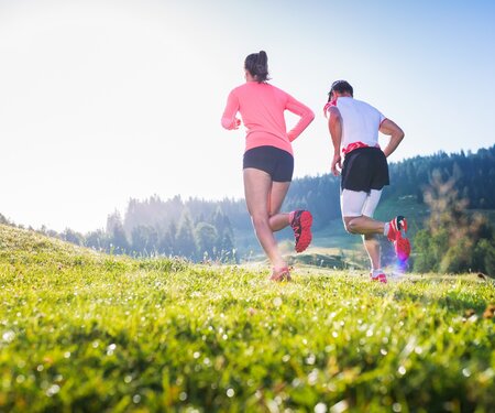
Trailrunning
Running tracks
Swimming
Fun sport
Via ferrata
e-Bike & Climb
Attraction
Skiresort
Lifts
Slopes
Snow park
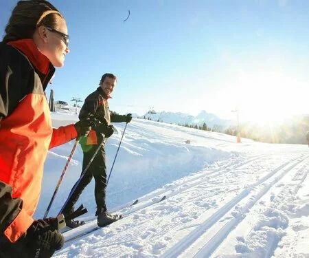
Ski-nordic-classic
Ski-nordic-skating
Winter walking
Tobogganing
Bed and breakfast
Apartment
Campsite
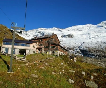
Mountain hut
Lifestyle & sports fashion
Station
Parking spot
Cable car
Webcam
Public toilet
Family friendly routes
Buggy friendly routes
Playground
Zillertal Cable Cars
Discount partners
Family friendly bike routes
swimming pools
Summit Hikes
Summit tour