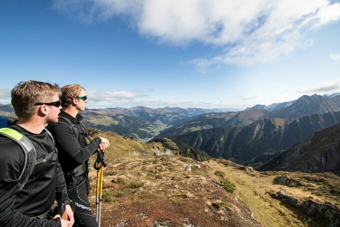
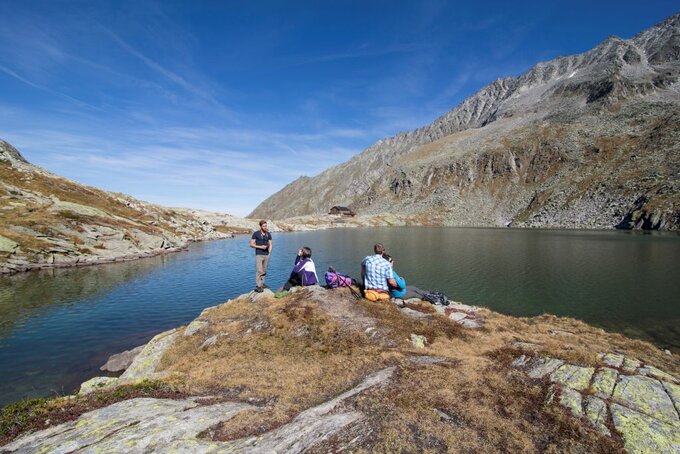
If you wish, you can do this tour in stages with an overnight stop at the Zittauer Hütte. Gerlos to the Schönach glacier approx. 3 hrs., from there on to the Keeskarscharte 4 ½ hrs. The refuge warden (a mountain guide) at the Zittauer Hütte will inform you about rock climbs and glacier tours in the region.Opposite the Gerlos education center cross the bridge and then follow the path to the left into Schönachtal, past the Jörgleralm (1.300 m) to the Stinkmoosalm. Now continue slightly upwards via the Lackenalm (open, 1.405m) and the Pasteinalm (1.692m) following the good path to the Keeskar, zigzagging up the east side of the valley to the Keeskarscharte (col at 2.778 m). Extremely impressive close-up view of the glacier with the rock and ice- capped mountains in the Schönachtal and Wildgerlostal. Wind your way down eastwards into the Wildgerlostal on a well-marked path until your reach the tongue of the Wildgerloskees glacier.
From here you can either...
a)...cross eastwards below the glacier tongue (3/4 hr.) and then walk up gently to the Zittauer Hütte at the Wildgerlossee (lake) and stop for a rest here while admiring the view onto the glacier. The refuge lies at a height of 2.329 m and enjoys one of the most beautiful setting in the Tyrol; or
b)... take the direct route down in zigzags along the left edge of the glacier moraine
until you reach the valley floor. This so-called <<Grund<< is shaped like a horseshoe and flanked in on all sides by rock walls. Here the route joins up with the path leading down from the Zittauer Hütte on the other side of the valley. Now make your way to the right of the stream along the fairly level valley floor and out through the Wildgerlostal to the Durlassboden reservoir, then past the Drissalm (1.583 m) to the Finkaualm mountain in. From here you can continue on the road to the Gerlos Pass and take the mail bus back to Gerlos or, from Finkau, carry on along the west edge of the reservoir to the Bärschlagalm, then follow the new path to the dam and back to the Gerlos road From the Zittauer Hütte to here it take approx. 3 hrs. From the dam it is an hour walk to Gerlos or return by mail bus (bus stop).


