Krimmler Achental – Windbachtal

Overview

Duration
19.24 km
Route Length
19.24 km
Difficulty
Middle
Roundtrip
No
altitude meters uphill
810 hm
highest point
1882 m
Route Start

Tourism office Krimml

Route End

Windbachalm

Altitude Profile

Weather

weather today
Light snowfall, mostly cloudy
weather tomorrow
Mostly sunny

Description

Through the fascinating Achental to the rustic Windbachalm.

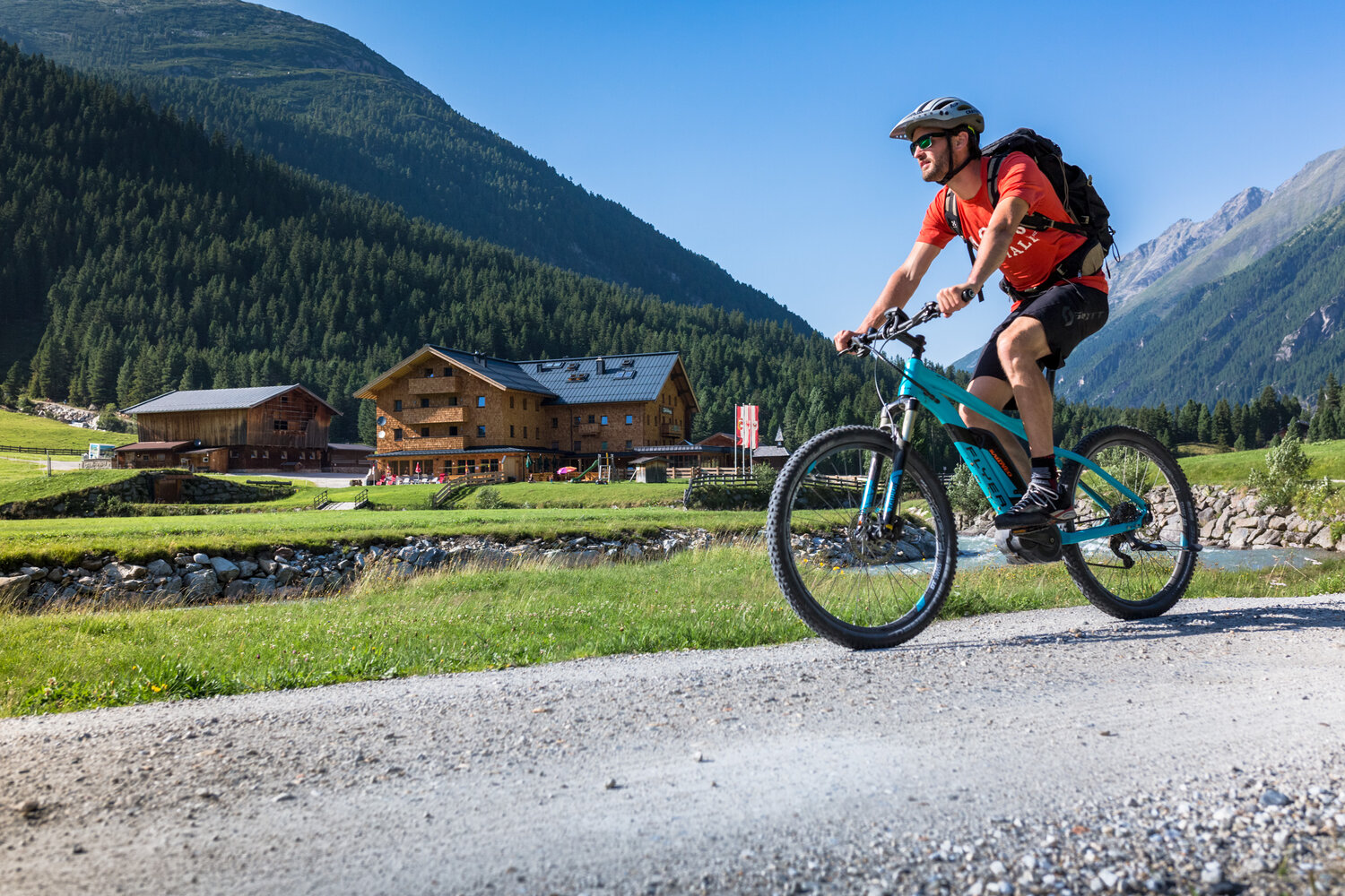
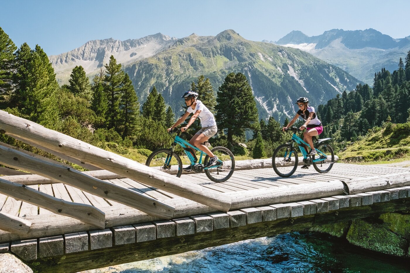
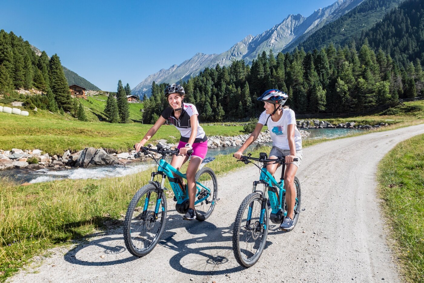
From Krimml village, the first section leads over the Gerlos Alpine Road. After about 2.0 km, turn left onto the forest track towards Krimmler Achental. Along the Krimml Waterfalls you ride through the Anna Tunnel (length 300 m). From there, a hiking and biking path runs parallel to the Krimmler Ache past rustic alpine huts and managed mountain inns. After the Innerunlaßalm, it then goes into the Windbachtal to the eponymous Windbachalm.

Der Inhalt kann nicht angezeigt werden.
Bitte akzeptieren Sie die Cookies, um den Inhalt zu laden.