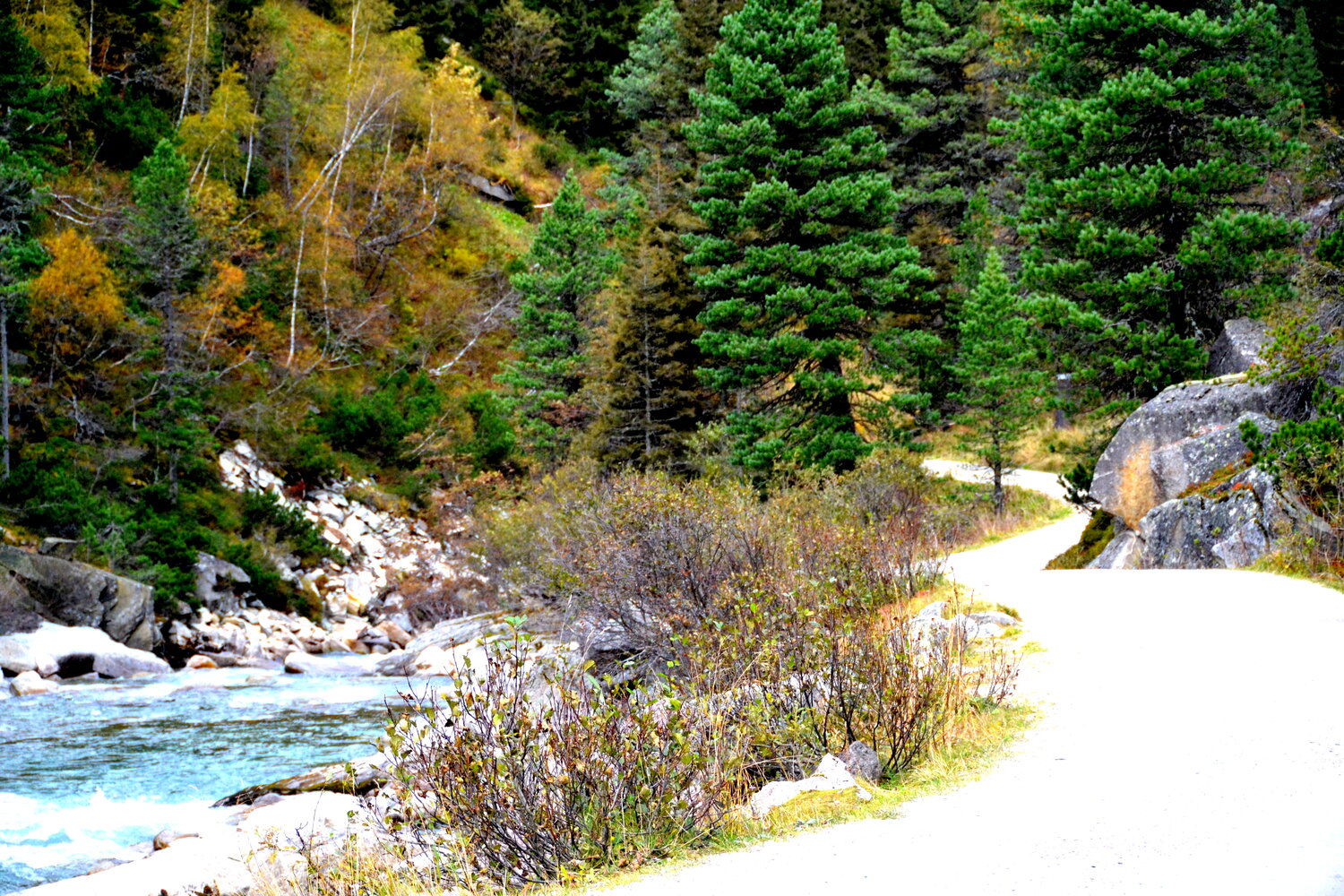
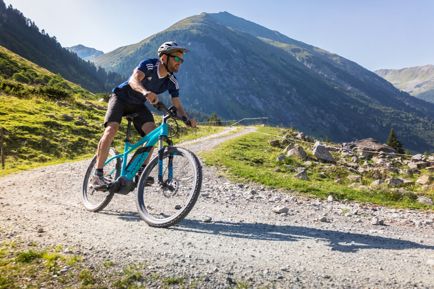
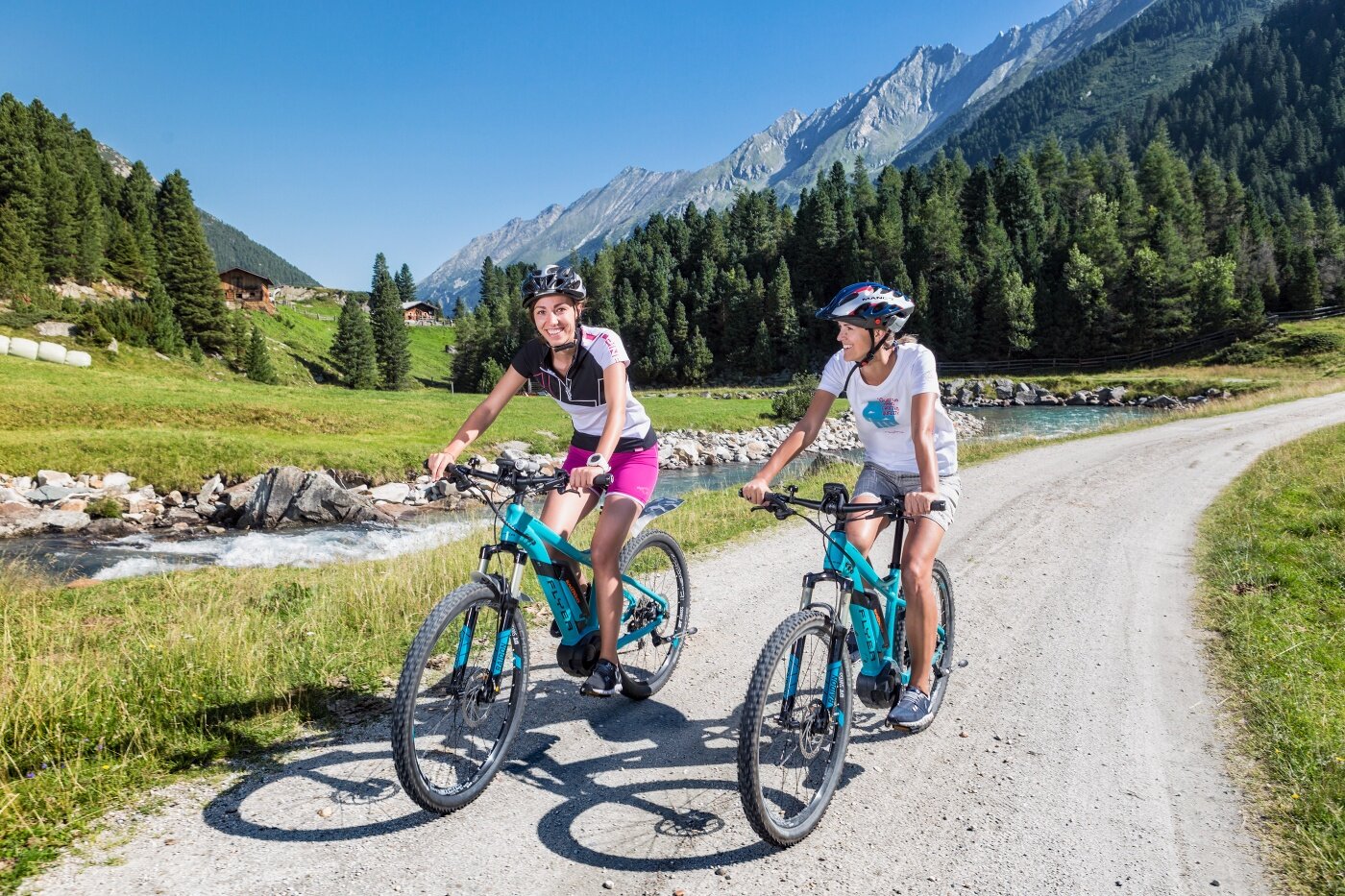
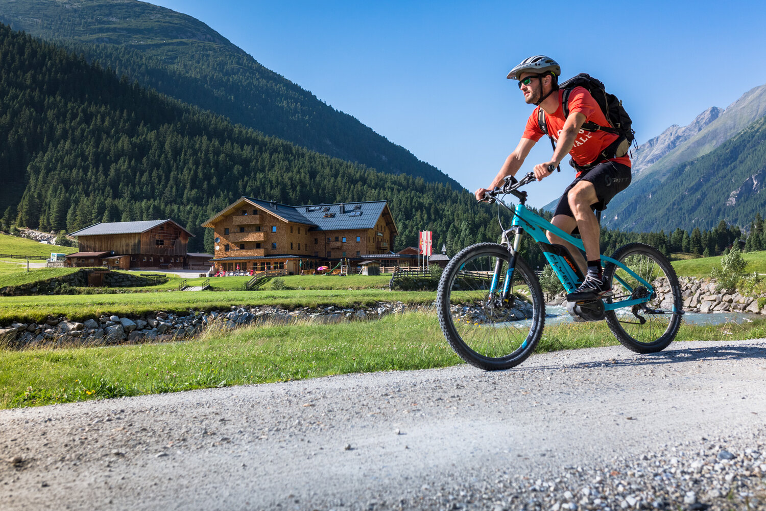
Select Filter
Filter
Activity
Hiking
Hiking & mountain tour
Pilgrimage trail
Themed walks
Cycling and mountain biking
Cycling tour
Mountainbike tour
Road bike tour
Singletrail
Bike & Hike
Nordic walking
Trailrunning
Running tracks
Swimming
Fun sport
Via ferrata
e-Bike & Climb
Attraction
Wheelchair-accessible hiking trail
Skiresort
Lifts
Slopes
Snow park
Ski-nordic-classic
Ski-nordic-skating
Winter walking
Tobogganing
Bed and breakfast
Apartment
Campsite
Mountain hut
Lifestyle & sports fashion
Station
Parking spot
Cable car
Webcam
Public toilet
Family friendly routes
Buggy friendly routes
Playground
Zillertal Cable Cars
Discount partners
Family friendly bike routes
swimming pools
Summit Hikes
Summit tour
Starting Point
Krimml
End Point
Krimml
highest point
1628 m
Duration
09:00 h
Route Length
175.53 km
altitude meters uphill
1940 hm
altitude meters downhill
1940 hm
Difficulty
Hard
Starting Point
Krimml (1.079 m)
End Point
Hainzenberg (910)
highest point
2798 m
Walking time
24:00 h
Route Length
65 km
altitude meters uphill
3995 hm
Difficulty
Hard
Starting Point
Wald - Ortsmitte
End Point
Wald - Ortsmitte
highest point
1306 m
Walking time
03:57 h
Route Length
11.41 km
altitude meters uphill
599 hm
Difficulty
Middle
Starting Point
Zellbergstüberl oder Hirschbichlalm
End Point
Marchkopf (2.499 m)
highest point
2499 m
Walking time
05:00 h
Route Length
7 km
altitude meters uphill
680 hm
Difficulty
Middle
Starting Point
Isskogelbahn valley station (1.300m)
End Point
Isskogelbahn valley station (1.300m)
highest point
1388 m
Walking time
02:00 h
Route Length
8.3 km
altitude meters uphill
130 hm
Your newsletter

Sign up for our newsletter and receive the best tips about the Zillertal Arena, the latest offers, events and much more every month.

Der Inhalt kann nicht angezeigt werden.
Bitte akzeptieren Sie die Cookies, um den Inhalt zu laden.