2B Königsleiten

Overview

Duration
27.94 km
Route Length
27.94 km
Difficulty
Middle
Roundtrip
No
altitude meters uphill
765 hm
altitude meters downhill
762 hm
highest point
1625 m
Route Start

Wald - Ortszentrum

Route End

Wald

Altitude Profile

Weather

weather today
Light snowfall, mostly cloudy
weather tomorrow
Moderate snowfall, mostly cloudy

Downloads

Description

3 Ortschaften - 1 Tour

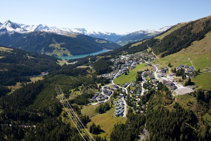
Im Walder Ortszentrum bei der Kirche auf die B 165 entlang der alten Gerlosstraße - nach ca. 7 km erreicht man das Feriendorf Königsleiten auf 1.600 Meter. Von dort geht's Richtung Hochkrimml entlang der Mautstraße - vorbei an der Mautstation entlang der Gerlos Alpenstraße - dieser bis Krimml bergab folgen - über den Tauernradweg zurück nach Wald.

Your newsletter

Sign up for our newsletter and receive the best tips about the Zillertal Arena, the latest offers, events and much more every month.

The content cannot be displayed.
Please accept the cookies to load the content.