

Ausgangspunkt Wald Bahnhof. Nach der Brücke rechts hoch abbiegen und entlang des steilen Forstweges durch den Wieserwald bergauf. Bergab: Bannwald - Bahnhof Krimml - auf dem Tauernradweg retour nach Wald.
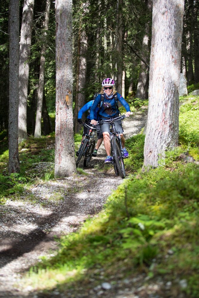
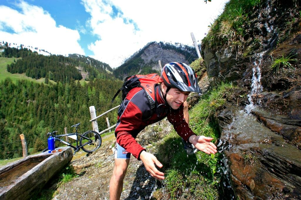
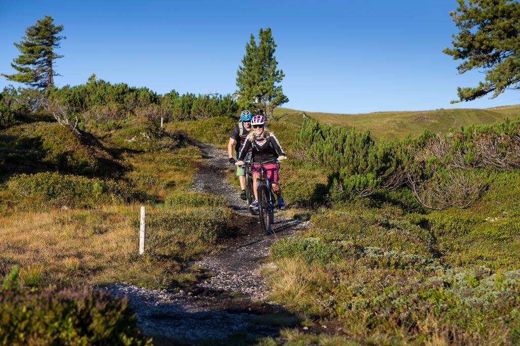
Abwechslungsreiche Biketour durch idyllische Wälder
Ausgangspunkt Wald Bahnhof. Nach der Brücke rechts hoch abbiegen und entlang des steilen Forstweges durch den Wieserwald bergauf. Bergab: Bannwald - Bahnhof Krimml - auf dem Tauernradweg retour nach Wald.