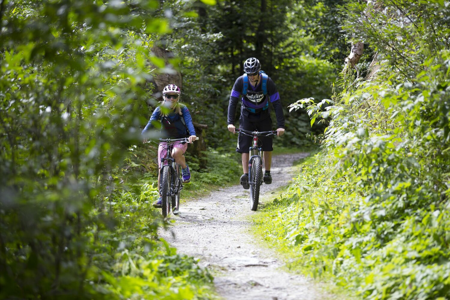
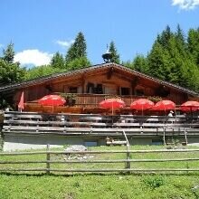
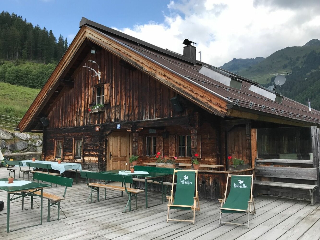
Select Filter
Filter
Activity
Hiking
Hiking & mountain tour
Pilgrimage trail
Themed walks
Cycling and mountain biking
Cycling tour
Mountainbike tour
Road bike tour
Singletrail
Bike & Hike
Nordic walking
Trailrunning
Running tracks
Swimming
Fun sport
Via ferrata
e-Bike & Climb
Attraction
Wheelchair-accessible hiking trail
Skiresort
Lifts
Slopes
Snow park
Ski-nordic-classic
Ski-nordic-skating
Winter walking
Tobogganing
Bed and breakfast
Apartment
Campsite
Mountain hut
Lifestyle & sports fashion
Station
Parking spot
Cable car
Webcam
Public toilet
Family friendly routes
Buggy friendly routes
Playground
Zillertal Cable Cars
Discount partners
Family friendly bike routes
swimming pools
Summit Hikes
Summit tour
Starting Point
Bergstation Isskogelbahn
End Point
Wiesenweg
highest point
1893 m
Route Length
0.4 km
altitude meters uphill
1 hm
altitude meters downhill
431 hm
Status Open
Starting Point
Wald - Ortsmitte
End Point
Schnitzerei Kammerlander
highest point
923 m
Walking time
00:36 h
Route Length
1.92 km
altitude meters uphill
55 hm
Starting Point
top station, Isskogelbahn Gerlos (1.900 m)
End Point
top station, Rosenalmbahn Zell am Ziller (1.744 m)
highest point
2004 m
Walking time
05:00 h
Route Length
15 km
altitude meters uphill
574 hm
Difficulty
Middle
Starting Point
Königsleiten Dorfbahn Bergstation
End Point
Eingang Schranken Salzachtal
highest point
2252 m
Walking time
03:02 h
Route Length
8.05 km
altitude meters uphill
234 hm
Difficulty
Middle
Your newsletter

Sign up for our newsletter and receive the best tips about the Zillertal Arena, the latest offers, events and much more every month.

Der Inhalt kann nicht angezeigt werden.
Bitte akzeptieren Sie die Cookies, um den Inhalt zu laden.